Izlake - Pleše (via Vežnica)
Starting point: Izlake (270 m)
| Lat/Lon: | 46,1494°N 14,9273°E |
| |
Name of path: via Vežnica
Time of walking: 1 h 45 min
Difficulty: easy marked way
Altitude difference: 596 m
Altitude difference po putu: 596 m
Map:
Recommended equipment (summer):
Recommended equipment (winter):
Views: 3.215
 | 2 people like this post |
Access to the starting point:
a) From Zagorje ob Savi, turn left immediately after the petrol station onto Izlake and then continue for approximately 300 m to the parking lot on the right hand side (in front of or by the Pizzeria Čebelica).
b) From Moravče: Continue driving to Izlake via Mlinše, where you can park at Pizzeria Čebelica, located on the left side of the road, or at the ETI factory parking lot, located 100 m further from the Pizzeria.
c) From Trojane: From Trojane, continue driving through the village of Orehovica, through Izlake, turn right at the turnoff to Moravče and continue driving approximately 300 m further to the parking lot in front of or at the Pizzeria Čebelica.
Path description:
The route is similar to the Krače-Pleše route described above for some time, but with the difference that the starting point is moved to a location with easier parking and that the route via Vežnica takes a different route (the Krače-Pleše route makes a detour).
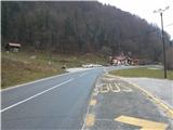
Park at the parking lot (either at the pizzeria or at the ETI factory parking lot) and continue along the main road in the direction of Mlinše for about 200 m, until the crossroads, where the signs for Šemnik direct you to the left. Follow the asphalted road towards Šemnik. When the asphalt road climbs, we will find a crossroads at the top of the hill, with a wooden signpost pointing towards Sv. Gora. Turn right and follow the road to a cluster of houses, where signs direct you left up a macadam road. Follow this road to the clearing below Plešami and continue straight up along the clearing. The road climbs moderately, but after a while it lays down. Slowly, you will notice a well-trodden path branching off the road up to the left. There is a signpost at the turnoff pointing you towards Vežnica. The forest path climbs moderately along the slope and after a few minutes leads out of the forest, where you enter a macadam road that leads along a fence towards a farm. There are deer fences here and if we are quiet we can see them. Continue up the road, past the farm, until you see a forest road that turns sharp left under a meadow at Vežnica. Take this forest road and follow it to the top of Vežnica. Here for the first time we have a view of the KSA, Menino mountain pasture, Golte, and in clear weather we can also see Triglav. When you reach the top of Vežnica, cross the macadam road and turn onto the forest path that climbs along the macadam road. Follow the clearly visible markings further up, where after a few minutes you will reach the plateau at the summit of Pleš.

Pictures:
 1
1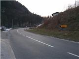 2
2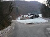 3
3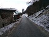 4
4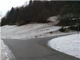 5
5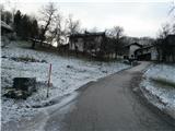 6
6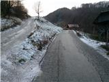 7
7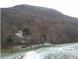 8
8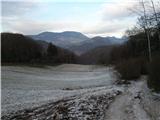 9
9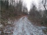 10
10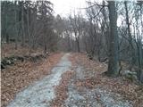 11
11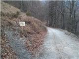 12
12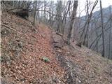 13
13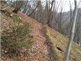 14
14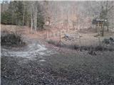 15
15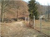 16
16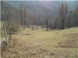 17
17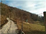 18
18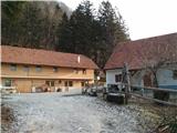 19
19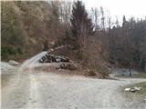 20
20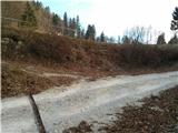 21
21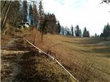 22
22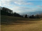 23
23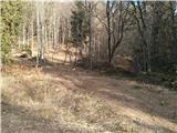 24
24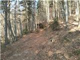 25
25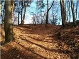 26
26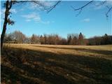 27
27 28
28
Discussion about the trail Izlake - Pleše (via Vežnica)