Štore - Resje above Štore (via Kompole and Šentjanž)
Starting point: Štore (240 m)
| Lat/Lon: | 46,2213°N 15,3215°E |
| |
Name of path: via Kompole and Šentjanž
Time of walking: 2 h 45 min
Difficulty: easy marked way
Altitude difference: 327 m
Altitude difference po putu: 600 m
Map: Posavsko hribovje (Boč - Bohor) 1:50.000
Recommended equipment (summer):
Recommended equipment (winter):
Views: 1.639
 | 2 people like this post |
Access to the starting point:
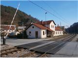
Štore ideally accessible with the help of Slovenian Railways. For station Celje, this is the next station in the direction of Maribor. By road. . . leave the motorway in Celje and head towards Štore or Šentjur, practically in the centre of Celje. Park your car near the Štore railway station, where there are plenty of parking spaces and also the start of a marked mountain trail.
Path description:
The route starts at the railway station in Štore. Go via Voglajna, where a direction sign immediately directs you to the left a few tens of metres uphill. At the first building, turn immediately left and follow the mountain path through the forest directly above Voglajna. On leaving the forest in the village of Draga, follow the meadow path also directly above Voglajna and continue along the asphalt road to the bridge over the river Voglajna or the crossroads called Opoka. To the left over the bridge is the trail to Dramlje, Konjiška gora. . . , straight to Resevna, while we continue sharp right into the forest on a narrower forest trail, partly on the road to Kompole or St. Lovrenc.
At the crossroads we also reach the XIV. division path and after a few hundred metres we leave the forest and by the equestrian ranch we get on the asphalt connection and continue left in a moderate ascent by the sports ground and the tourist homestead. A gentle descent follows and soon you reach the centre of the village Kompole with the church Sveti Lovrenc and the branch school.
After the tour, continue downhill and slightly to the right to a barn with a marker. From the barn, follow the grassy cart track to the second hill between the dwelling house on the left and the outbuildings on the right, back on tarmac and up a few metres to a crossroads with an interesting chapel. At the crossroads, continue left along the tarmac road slightly downhill and then, passing a small farmhouse higher up on the left side of the barn, rejoin the woodland path.
The forest track continues along a babbling brook to a pasture, where you continue up the pasture cart track to a sadly poorly maintained chapel. From the chapel, continue alongside three or four farmsteads, uphill to the right on an asphalt surface which turns to gravel and shortly afterwards sharp left on a narrow forest track, which you follow, following the waymarks, until you reach the exit to the meadow/pasture part. The path turns into cart track and under the chapel, through the spacious courtyard of the farmhouse, the asphalt road Štore - Svetina is reached. Turn right downhill, but the first left turn is possible and after five minutes of pleasant walking you reach the 513 m high summit of Turn with the bell tower at the top, which is separated from the church of St. John the Baptist a little lower down. After the tour, head downhill and continue to the right for about 200 metres to a left turn up a meadow path and continue along a forest road to another sharp left turn uphill. A pleasant path winds through the woods, and you cross a small clearing with a hunting bivouac and a steel cable a little higher up. There is another section through the forest and soon you are out of the forest again at 3 or 4 o'clock at the weekend and reach the Dobošek crossroads. At the Dobošek crossroads, turn left and below the homestead, through the meadow, down the forest path past the bee farm and reach the asphalt road Štore - Svetina. Continue down the asphalt road for a good hundred metres and then through the area called Mrzla mountain pasture, past six or seven farmhouses, along the asphalt road to the left fork into the forest, where you follow a pleasant forest mountain path. When the asphalt road meets the road again, continue to Slemen, where you turn left uphill by the farmhouse. Follow the asphalt road up some three hundred metres to reach the homestead directly below the summit, the NOB monument and, after a few metres in the forest, the summit of Resje. The summit is not marked.
The total length of the trail from Štora is about 8 kilometres, 640 vertical metres and 370 negative vertical metres.

Pictures:
 1
1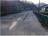 2
2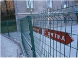 3
3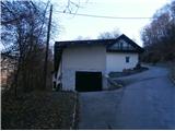 4
4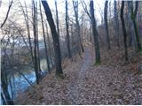 5
5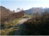 6
6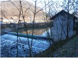 7
7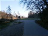 8
8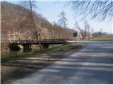 9
9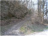 10
10 11
11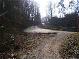 12
12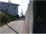 13
13 14
14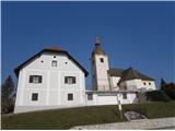 15
15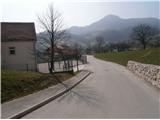 16
16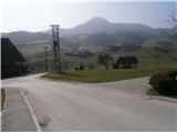 17
17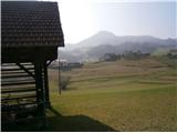 18
18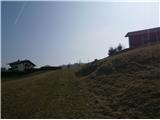 19
19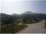 20
20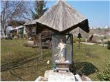 21
21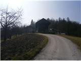 22
22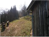 23
23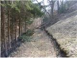 24
24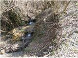 25
25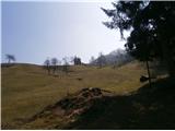 26
26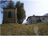 27
27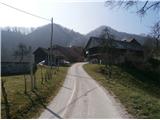 28
28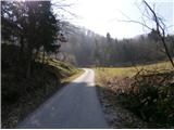 29
29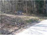 30
30 31
31 32
32 33
33 34
34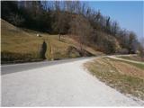 35
35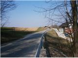 36
36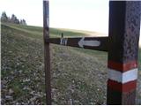 37
37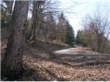 38
38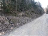 39
39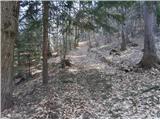 40
40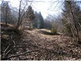 41
41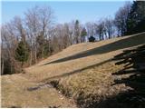 42
42 43
43 44
44 45
45 46
46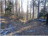 47
47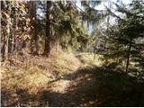 48
48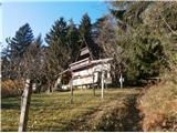 49
49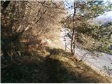 50
50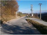 51
51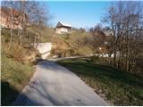 52
52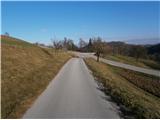 53
53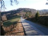 54
54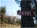 55
55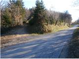 56
56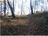 57
57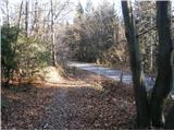 58
58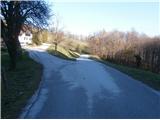 59
59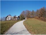 60
60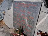 61
61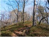 62
62
Discussion about the trail Štore - Resje above Štore (via Kompole and Šentjanž)