Senožeti - Cicelj (hunting path)
Starting point: Senožeti (275 m)
| Lat/Lon: | 46,0905°N 14,7336°E |
| |
Name of path: hunting path
Time of walking: 1 h 30 min
Difficulty: easy marked way
Altitude difference: 561 m
Altitude difference po putu: 570 m
Map:
Recommended equipment (summer):
Recommended equipment (winter): ice axe, crampons
Views: 1.160
 | 2 people like this post |
Access to the starting point:
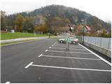
a) From the Ljubljana - Celje motorway, take the Šentjakob exit and follow the road towards Litija. A few kilometres after Dolsko, the road leads to a roundabout, where we head towards the village of Senožete. The road then leads immediately into the village, where you turn right at the junction and drive for about 100 metres to a large parking lot near the school playgrounds.
b) From Litija drive towards Ljubljana but only as far as the roundabout where signs direct you towards the village of Senožete. The road then leads immediately into the village, where you turn right at the crossroads and drive about 100 m further to a large parking lot near the school playgrounds.
Path description:
From the parking lot, continue along the road, which leads over a small stream to a crossroads, from which you continue to the left. The road then leads us after a few metres to the next crossroads, where markings direct us to the left, to a footpath that continues to the left of the chapel. The path is short, as after a few metres you are back on the road. Continue walking along the road for a few minutes and then the signs for Miklavž point to the left, steeply uphill. Next, follow the path as it climbs through the forest and leads us a little higher to a larger clearing, after which we join the road. The road then leads to a crossroads at Velika vas, where we continue left towards Križevska vas (St Nicholas on the right). The tight part of the settlement ends quickly, and we continue to climb cross-country to the left. With good views, we reach a small pass where we see a hunting observation post on the left and the start of the hunting trail to Cicelj on the right.
Continue right into the forest on the path towards Ciclja. After some 10 steps go slightly left (right Velika vas) and continue the ascent on an increasingly steep path. After a few minutes you reach cart track, which you follow to the left (to the right you return to Velika vas), and from it you soon go right on a steep path. The path then steepens and leads to the ridge of Ciclja, where it joins a better-beaten path.
Continue to the right and after a minute of further walking you will reach the top of Ciclj, where there is a bench and a registration box with a registration book and a stamp.
Senožeti - Velika vas 40 minutes, Velika vas - Cicelj 50 minutes.

Pictures:
 1
1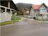 2
2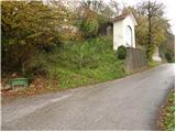 3
3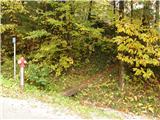 4
4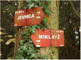 5
5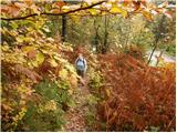 6
6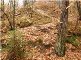 7
7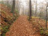 8
8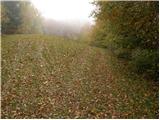 9
9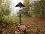 10
10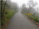 11
11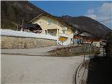 12
12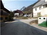 13
13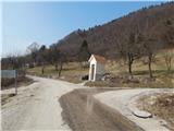 14
14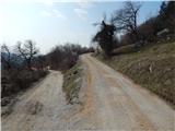 15
15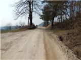 16
16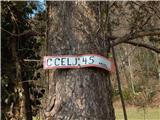 17
17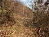 18
18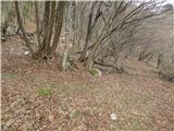 19
19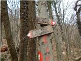 20
20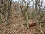 21
21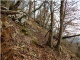 22
22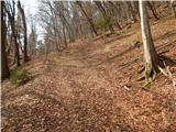 23
23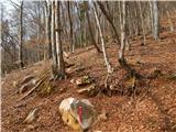 24
24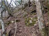 25
25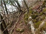 26
26 27
27 28
28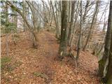 29
29 30
30
Discussion about the trail Senožeti - Cicelj (hunting path)