Štore - Resevna (via Žlajfa and via Resje nad Štorami)
Starting point: Štore (240 m)
| Lat/Lon: | 46,2213°N 15,3215°E |
| |
Name of path: via Žlajfa and via Resje nad Štorami
Time of walking: 3 h 15 min
Difficulty: easy marked way
Altitude difference: 442 m
Altitude difference po putu: 830 m
Map: Posavsko hribovje (Boč - Bohor) 1:50.000
Recommended equipment (summer):
Recommended equipment (winter):
Views: 2.968
 | 1 person likes this post |
Access to the starting point:
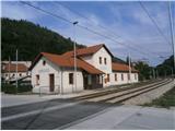
Štore ideally accessible by rail. By road. . . leave the motorway in Celje and head towards Štore or Šentjur, practically in the centre of Celje. Park your car near the Štore railway station, where there are plenty of parking spaces and also the start of a marked mountain trail.
Path description:
The route starts at the railway station in Štore. Go via Voglajna, where a direction sign immediately directs you to the right and shortly afterwards straight through the area of the old Stora Ironworks. Continue along the asphalt road in the lower part by the Bojan ditch to a new fork in the trail, which directs us sharp left on the asphalt higher up the hill to Žlajfa, where the road finally turns into a forest trail, which is solidly marked. Continue on the mountain path between Mali and Veliki Bojanski vrh. On the right hand side, after leaving the forest, the cart track path through Bojanski graben joins.
Continue right higher in the pasture-grassland and forest part. Soon you reach a crossroads called Ramanca. Continue sharp left, this is now also the XIV Division path, in the direction of Vrunčev dom or Resevna, to the right leads the path towards Alma's home in Svetina. Soon you reach an asphalt road, a settlement of houses and cottages along the road and Vrunčev, today Lovski dom na Svetini. Continue slightly downhill to the chapel by the side of the path and extend left downhill to the Dobošek crossroads.
At the Dobošek crossroads turn right and below the homestead through the meadow, down the forest path past the bee farm and reach the asphalt road Štore - Svetina. Continue down the asphalt road for a good hundred metres and then through the area called Mrzla mountain pasture, past six or seven farmsteads on the asphalt road to the left fork into the forest, where you follow a pleasant forest mountain path. When the asphalt road meets the road again, continue to Slemen, where you turn left uphill by the farmhouse. Follow the asphalt road up some three hundred metres to reach the homestead directly below the summit, the NOB monument and, after a few metres in the forest, the summit of Resje. The summit is not marked.
From Resje, follow the marked mountain path eastwards. Soon on the right you will see a larger hunting lodge and a little further along the right side of the path another monument to the 1st Celje Company. Follow the forest road to the plateau, where the world opens up a bit, Plevnik and somewhere near two farmsteads sharp left up the final climb along the picturesque forest path. Soon reach the lookout tower at Resevna. After the views from the modern tower, there is a short descent to the mountain home at Resevna and the end of the trail. The total length of the route from Štor is about 10 kilometres, 830 vertical metres and 460 negative vertical metres.

Pictures:
 1
1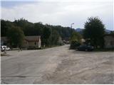 2
2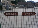 3
3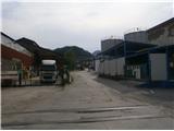 4
4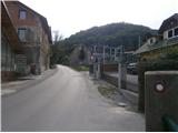 5
5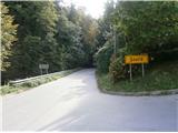 6
6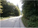 7
7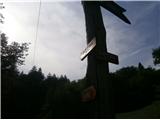 8
8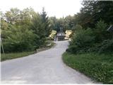 9
9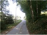 10
10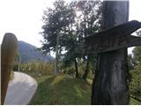 11
11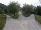 12
12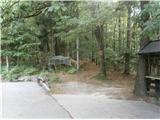 13
13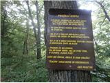 14
14 15
15 16
16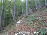 17
17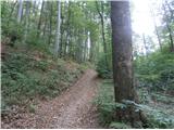 18
18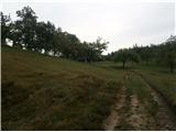 19
19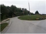 20
20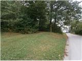 21
21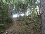 22
22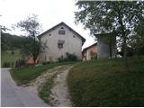 23
23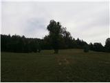 24
24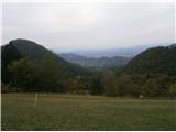 25
25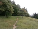 26
26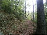 27
27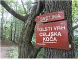 28
28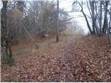 29
29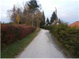 30
30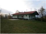 31
31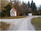 32
32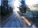 33
33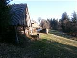 34
34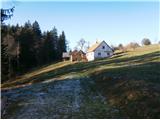 35
35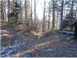 36
36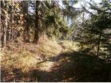 37
37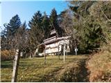 38
38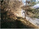 39
39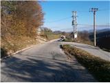 40
40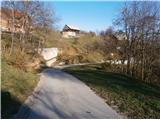 41
41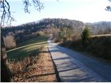 42
42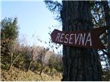 43
43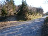 44
44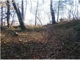 45
45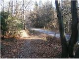 46
46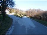 47
47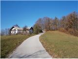 48
48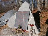 49
49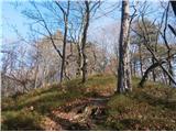 50
50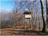 51
51 52
52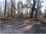 53
53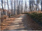 54
54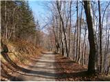 55
55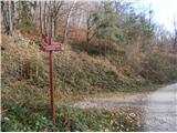 56
56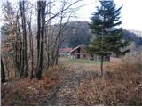 57
57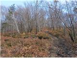 58
58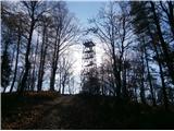 59
59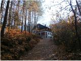 60
60
Discussion about the trail Štore - Resevna (via Žlajfa and via Resje nad Štorami)