Celje - Hotel Celjska koča (via Stari grad, Suhi potok and Pečovniška koča)
Starting point: Celje (241 m)
Name of path: via Stari grad, Suhi potok and Pečovniška koča
Time of walking: 2 h 10 min
Difficulty: no data
Altitude difference: 411 m
Altitude difference po putu: 620 m
Map: Posavsko hribovje Boč - Bohor 1:50.000
Recommended equipment (summer):
Recommended equipment (winter):
Views: 8.490
 | 2 people like this post |
Access to the starting point:
Celje, Slovenia's third largest city, is accessible from virtually all sides. Park somewhere between the train station and the bridge over the Savinja in the direction of Laško. The problem could be that the parking lots are mostly pay-per-use. . . when arriving by train, of course, these problems disappear.
Path description:
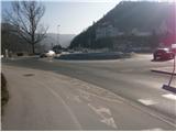
The trail starts at the bridge over the Savinja River at a sign with a panoramic view of the Celje Hills. The trail starts at the Old Castle on Castle Hill and is also the introductory part of the CPP (Celje Mountain Trail). In the first part, you walk along the path between the Savinja and the railway line to the confluence of the Voglajna and the Savinja. Continue over the bridge and under the railway line to the right and continue along the Pelikan Trail to the Old Castle.
From the castle, continue straight down the partly asphalted track, macadam and grass cart track to the settlement of Zvodno. In Zvodno, at the crossroads, continue straight ahead or slightly to the right in the direction of Suhi potok (inscription on a concrete ramp), on the left is the path to Hudičev graben. Follow the macadam surface or forest road for a few hundred metres. At the marked crossroads, continue left and slightly up the forest path or the bed of the Suhe potok.
Then turn slightly left again and follow the mountain forest path up by the quarry. The path is sloping and there is nothing to miss. It winds pleasantly along the stream bed higher up into the world of Grmada. Soon you reach a crossroads, continue right towards Pečovniška hut, while on the left there are signs for Tolsti vrh. The path narrows a little further on and crosses the slope of the forest upwards. You reach a grassy part and the intermediate goal - Pečovniška hut on Grmada, which is already in sight. A little further to the left and at the end somewhere to the right up to the Pečovniška hut.
After a short visit, continue in the direction of Celjska koča and Tolstego vrh. Following a pleasant wide path, partly on the road, you soon reach a crossroads at the Čater homestead. Here, the path from Hudičův grabno and Srebotnik joins below the homestead on the left. From the crossroads, continue right along the wide forest or access road and in a few hundred metres of easy ascent you will reach the Celjska Cottage.
The total length of the route from Celje is about 5500 metres, 620 positive vertical metres and 200 negative vertical metres.

Pictures:
 1
1 2
2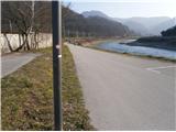 3
3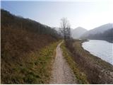 4
4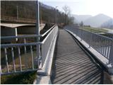 5
5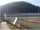 6
6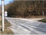 7
7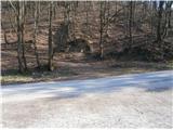 8
8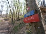 9
9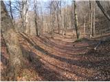 10
10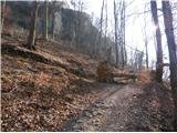 11
11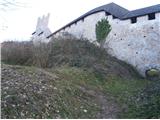 12
12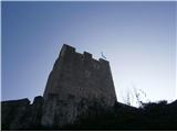 13
13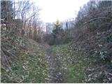 14
14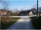 15
15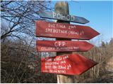 16
16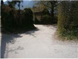 17
17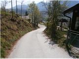 18
18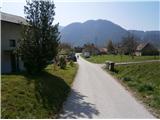 19
19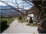 20
20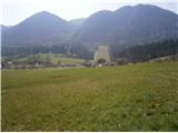 21
21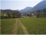 22
22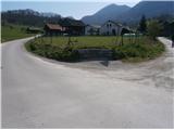 23
23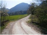 24
24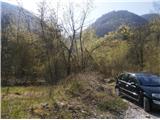 25
25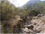 26
26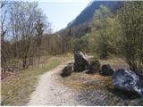 27
27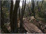 28
28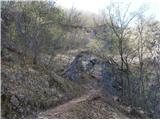 29
29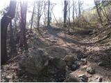 30
30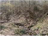 31
31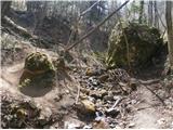 32
32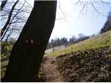 33
33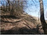 34
34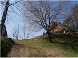 35
35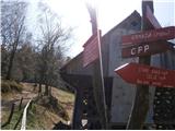 36
36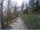 37
37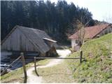 38
38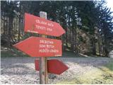 39
39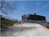 40
40
Discussion about the trail Celje - Hotel Celjska koča (via Stari grad, Suhi potok and Pečovniška koča)