Teharje - Srebotnik (Pot I. Celjske čete)
Starting point: Teharje (241 m)
| Lat/Lon: | 46,2296°N 15,29761°E |
| |
Name of path: Pot I. Celjske čete
Time of walking: 2 h
Difficulty: easy marked way
Altitude difference: 459 m
Altitude difference po putu: 477 m
Map: Celjska kotlina, 1:50000
Recommended equipment (summer):
Recommended equipment (winter):
Views: 702
 | 1 person likes this post |
Access to the starting point:
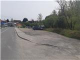
Teharje has a rich history. They are first mentioned in written records in the 12th century. The local history is closely linked to the Counts of Celje, as the Teharcans acquired nobility. Today, Teharje is the seat of the eponymous local community, which is home to around a thousand inhabitants. The town lies on the right side of the river Voglajna, east of Celje, so the easiest access is by road from Celje. The starting point of our route is at the bridge over the Voglajna, and parking is possible in the nearby large parking lot next to the former guesthouse, just before the protected railway crossing and the aforementioned bridge, near the large industrial halls, in the area of the former Štore Ironworks.
Path description:
The major part of our trip initially leads from the starting point along the marked mountain trail of the 1st Celje Troop, which is looked after by the Grmada Celje PD. At the starting point, there is a signpost pointing the way along the asphalt road that runs along the left bank of the Voglajna River. After about 700 metres of walking on the asphalt at the crossroads, turn right onto the macadam road into the forest. Leave the road at the memorial monument higher up and follow the forest path uphill. After leaving the forest higher up, you will arrive in Osenica, where you will have a view of Bavč and Grmada. Soon you will reach a crossroads where the Celjska planinska pot (CPP), leading from the route of Stary grad, joins from the right. Go around the meadow and continue along the asphalt road leading higher up to Pečovje. After about 900 metres of walking on the asphalt, leave the asphalt at a neatly marked trestle and continue to the right along the forest road. After 500 metres of pleasant views of the nearby hills, where our destination is, we enter the forest, where the path leading from the starting point in Zvodne joins from the right. From the parking lot, it is a 1-hour walk, 3. 36 km distance, 167 metres ascent and 18 metres descent.
Continue straight ahead on the forest road. Soon the Barbara's path from the route of Štor joins us from the left. From here on, follow the signposts for Barbara's Path for some time, while leaving the Path of the I. Celjska čete. A little higher, when we have already passed two isolated farmhouses, a narrower forest path branches off to the left, which soon starts to climb a little more steeply. Before the crossroads below Marija, we are also helped by a few ropes, more as a fence than as a handhold. Leave the Barbara's path as the CPP markers direct us up to Srebotnik, where we continue towards the summit along the steep east ridge. The steepness eases in the last part of the route, and at the top we are greeted by a magnificent view of practically all sides of the sky, a Slovenian flag, a bell, a registration book, restored benches (2021) and a stamp. A few steps to the south-west, it is also possible to approach the exposed part of the overlooking but precipitous cliff.

Pictures:
 1
1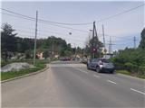 2
2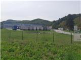 3
3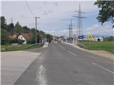 4
4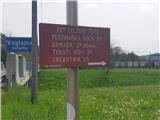 5
5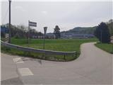 6
6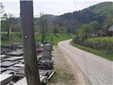 7
7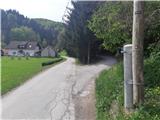 8
8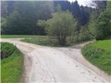 9
9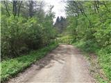 10
10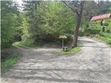 11
11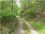 12
12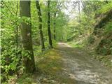 13
13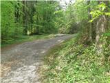 14
14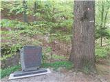 15
15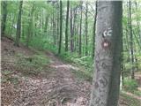 16
16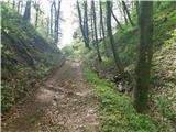 17
17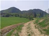 18
18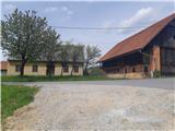 19
19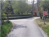 20
20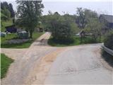 21
21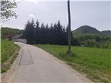 22
22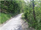 23
23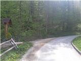 24
24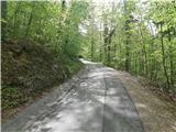 25
25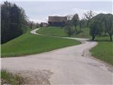 26
26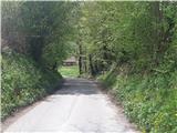 27
27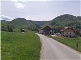 28
28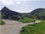 29
29 30
30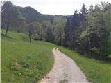 31
31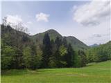 32
32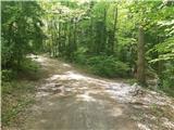 33
33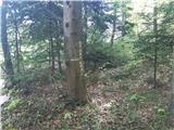 34
34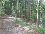 35
35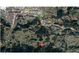 36
36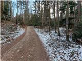 37
37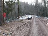 38
38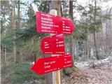 39
39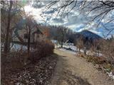 40
40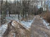 41
41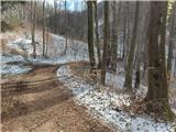 42
42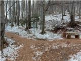 43
43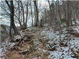 44
44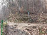 45
45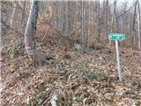 46
46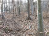 47
47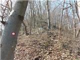 48
48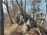 49
49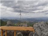 50
50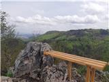 51
51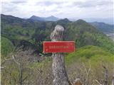 52
52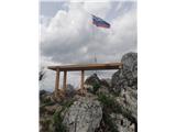 53
53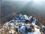 54
54 55
55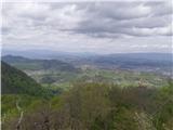 56
56
Discussion about the trail Teharje - Srebotnik (Pot I. Celjske čete)