Zagrad - Medvižica (via Razsušica)
Starting point: Zagrad (800 m)
| Lat/Lon: | 45,5043°N 14,0511°E |
| |
Name of path: via Razsušica
Time of walking: 1 h 45 min
Difficulty: easy unmarked way, easy marked way
Altitude difference: 281 m
Altitude difference po putu: 375 m
Map: Slovenska Istra - Čičarija, Brkini in Kras 1:50.000
Recommended equipment (summer):
Recommended equipment (winter):
Views: 4.797
 | 1 person likes this post |
Access to the starting point:
From the Ljubljana - Koper motorway, take the Kozina exit and follow the road towards Rijeka. In the village Obrov turn right in the direction of the village Golac from where you continue driving towards the hamlet Zagrad. In Zagrad (not at the junction 30m earlier) continue right (left Ostrič) and then after a few metres left on the upper road next to which there is a sign forest road use at your own risk (the right road joins the road leading to Veliki vrata). Follow this initially very bad road to a large clearing, which is the starting point of our tour (at the clearing the road turns into cart track).
Path description:
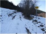
From the starting point, head to the clearing and climb in a gentle ascent to the upper part of the clearing. Here, on the right-hand side, you will see cart track (there are several tracks, but they all merge higher up), which goes into the wods and starts to climb moderately on the left-hand side of a larger sinkhole. After about 15 minutes of climbing on cart track, you will reach the marked path leading from Razsušica towards Plešivica.
Follow the marked trail to the left (Velika and Mala Plešivica to the right) and climb it mostly in a transverse ascent. Next, the well-marked path climbs steeper and after a good hour's walk from the starting point leads us to the top of Razsušica from which we have a view towards the neighbouring Medvižić.
From the top we continue on the marked path, which initially descends steeply and then leads us in a few gently sloping ascents and descents to a clearing where the marked path to the left branches off to the top of Medvižice. The path immediately returns to the forest, where after a few steps of further walking we reach the rocky part. Here the path turns left and climbs steeply over a rocky slope. Follow this steep path, which is surrounded by numerous crevasses, to the summit.

Pictures:
 1
1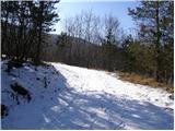 2
2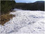 3
3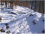 4
4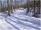 5
5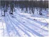 6
6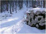 7
7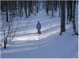 8
8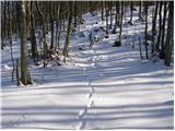 9
9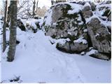 10
10 11
11 12
12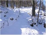 13
13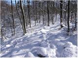 14
14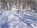 15
15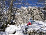 16
16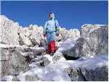 17
17 18
18
Discussion about the trail Zagrad - Medvižica (via Razsušica)
|
| squash1. 11. 2013 |
Danes sva z ženo opravila ta izlet. Vreme je bilo prelepo. Iz Medvižice je bil fantastičen razgled v vse smeri. Prelepo si videl brkinske vasi, Učko na jugu in na drugi strani tržaški zaliv. Čičarija je pravi kraj za sprostiti dušo, pokrajina je prelepa. Ljudi je zaradi odročnosti malo, redko srečaš kakšnega planinca.
|
|
|