Podkraj - Javornik above Črni vrh
Starting point: Podkraj (798 m)
| Lat/Lon: | 45,8639°N 14,063°E |
| |
Time of walking: 2 h 30 min
Difficulty: easy marked way
Altitude difference: 442 m
Altitude difference po putu: 550 m
Map: Nanos 1:50.000
Recommended equipment (summer):
Recommended equipment (winter):
Views: 12.532
 | 1 person likes this post |
Access to the starting point:
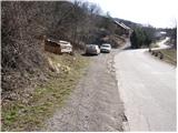
From Logatec, drive towards Idrija. Just after the village Kalce you will see a road heading left towards the villages Podkraj and Col. Take this rather winding road and follow it to the village Podkraj. Park in the small parking lot on the roadside near the signpost for the end of the village Podkraj (there are also mountain direction signs by the parking lot).
From Primorska, take the first road to Col and then continue towards Podkraj village. When the road leads to the beginning of the village, do not continue right into the village, but continue along the upper left road, which bypasses the village centre. Near the sign for the start of Podkraj, park in a small parking area by the road.
Path description:
From the starting point, take the ascending cart track in the route Sveti Duh and Javornik. "After a few steps, Cart track turns right and then climbs transversely across a grassy slope. Higher up, we pass into a short lane of forest, after which the path leads us to a marked crossroads, where we continue to the right in the direction of Javornik (left Sv. Duh and Križna gora). The path continues to climb gently along the edge of the forest, and then leads us to Isaac's hut (a small emergency bivouac), which is located slightly to the left of the path.
Slightly above the bivouac, you will reach a crossroads of several kolovozov. Continue straight ahead (direction Javornik) along the partly stony cart track and follow it for a few minutes, then at a small crossroads (marked) continue slightly right along the grassy cart track, which leads us past an old military bunker. Go around the bunker on the left and the path leads to the edge of a pasture fence. Continue along the grazing fence for a while and then the path makes an orientation lop. The path turns right downhill, so to speak in the direction from which you are coming, and then after a short descent left into the forest. Further on, we enter a dense forest and climb moderately for some time on a rather overgrown cart track. There is a short descent and the path leads to a dirt road, which you follow to the left. The road soon leads us out of the forest onto a vast grassy slope, in the middle of which we come to a marked crossroads.
Continue right in the direction Javornik, following the footpath, which first climbs gently past a small sign on a tree and then begins to climb steeply over relatively exposed grassy slopes. Higher up, the path flattens out and leads to a larger plain to the south of Streliška vrh. Continue slightly to the left, along a marked footpath, which descends to a small stream, beyond which you will find a pleasant bench. Crossing the eastern slopes of the aforementioned peak, the path then leads to a small pass, where you can see a larger pulpit on the right-hand side.
Here on the pass is a marked crossroads where the path to Streliški vrh branches off to the left, and we continue straight down towards Javornik. The trail goes immediately into a steep slope, but when descending, follow the markings carefully so that you don't miss the right trail at the many crossroads. Lower down, the path is laid and after a few minutes of further walking leads us to a macadam road, which we follow right up. After a short climb, we come to a crossroads of several roads, and we continue left towards Javornik. The road continues to climb through the forest for some time, and then lays down and leads us to a scenic slope. The path then crosses a short lane of forest and leads us to a small crossroads where the road to the right branches off towards the Javornik Ski Hut. We continue along the lower road on the left, which quickly leads to an abandoned house. Just in front of the house, mountain signs direct us to the right to a footpath, which will take us up in a few minutes to the Pirnatova hut on Javornik. From the hut, walk to the nearby signposts and then follow the path towards Javornik and the tower. After a few dozen metres of walking, the trail enters the forest, where it climbs moderately. Once out of the forest, cross a short scenic slope, and then just below the summit, the trail goes back into the forest. There is a slight climb through the forest and the path leads to the top of the lookout tower. If you want a view, climb to the top of the tower at your own risk, and you will have a beautiful view.

Pictures:
 1
1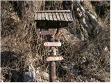 2
2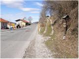 3
3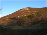 4
4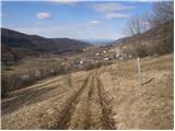 5
5 6
6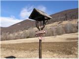 7
7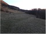 8
8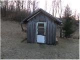 9
9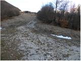 10
10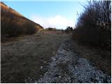 11
11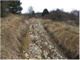 12
12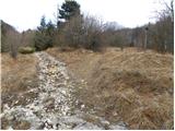 13
13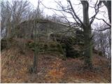 14
14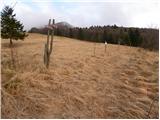 15
15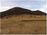 16
16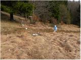 17
17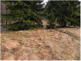 18
18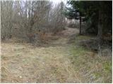 19
19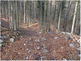 20
20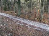 21
21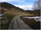 22
22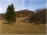 23
23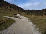 24
24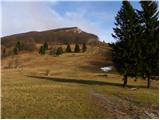 25
25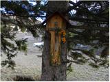 26
26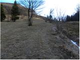 27
27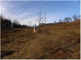 28
28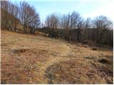 29
29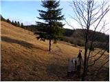 30
30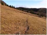 31
31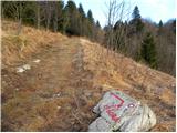 32
32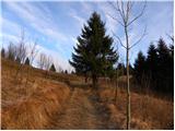 33
33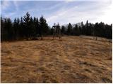 34
34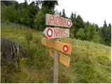 35
35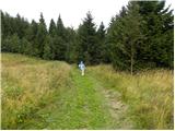 36
36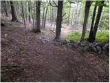 37
37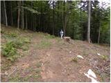 38
38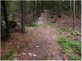 39
39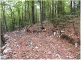 40
40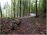 41
41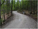 42
42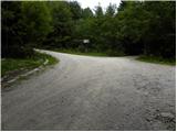 43
43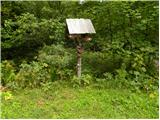 44
44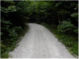 45
45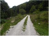 46
46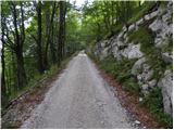 47
47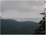 48
48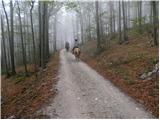 49
49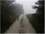 50
50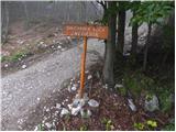 51
51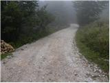 52
52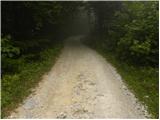 53
53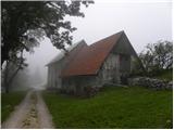 54
54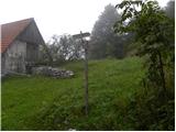 55
55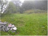 56
56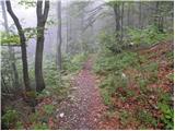 57
57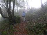 58
58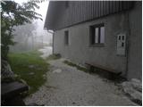 59
59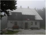 60
60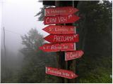 61
61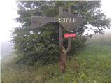 62
62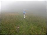 63
63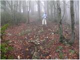 64
64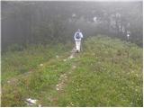 65
65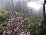 66
66 67
67
Discussion about the trail Podkraj - Javornik above Črni vrh
|
| darinka430. 11. 2021 17:48:43 |
Danes prehojena pravzaprav zimska tura. Snega je kar nekaj nasulo. Vso pot je bilo vetrovno. So obnovljene markacije , ko se gre skozi gozd.Zimske opreme nisva potrebovala. Gaženja pa je bilo kar precej.
|
|
|
|
| D0men13. 09. 2022 12:32:45 |
Stolp na vrhu ni več izpraven in je zaprt. Je potrebna nova konstrukcija. 
|
|
|