Starting point: Stara baba (310 m)
| Lat/Lon: | 45,8954°N 13,9206°E |
| |
Time of walking: 1 h 45 min
Difficulty: easy unmarked way
Altitude difference: 692 m
Altitude difference po putu: 700 m
Map: Goriška 1:50.000
Recommended equipment (summer):
Recommended equipment (winter):
Views: 16.255
 | 1 person likes this post |
Access to the starting point:
Take the expressway from Razdrto to Nova Gorica or vice versa and take the Ajdovščina exit. Then at the crossroads (first traffic light) continue straight on towards Cola and Idrija. At the second traffic light, turn right, again in the direction of Colo, and follow the road for only a few dozen metres to where you cross the Hubelj River. Just after the bridge, turn left in the direction of the source of the Hubl (there are tourist signs along the road). Follow this road to the source of the Hubl, where a dirt road branches off to the right and climbs past abandoned military buildings. Follow this road to a place where you will see signs for Kovk. Park in a small parking lot on the side of the road.
Path description:
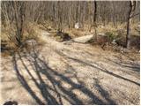
From the parking lot, turn left onto the footpath towards Kovka. The path, which climbs moderately, leads us after a few minutes to cart track which we follow to the left. Cart track which we are walking on soon has a crossroads where we continue to the right. Just a little further on, cart track has another crossroads, where you continue right again. Next, cart track leads us under an electricity line, after which it turns into a footpath which begins to climb more steeply. The climb then continues for some time and the path leads us after a good hour's walk to a chapel behind which we soon reach a pleasant resting place with a nice view. Here is also the crossroads of the route and we continue in the route Sinji vrh to cart track, which at first slightly climbs then gradually descends. When the path climbs again, we get on the road, where we continue left upwards (to the right the road ends at the last house in the village). After walking along the road for a few minutes, we come to a crossroads, where we continue to the right and then after a few metres to the right again. The road, which continues to climb slightly higher, leads us to another crossroads, where we again continue to the right. There is a 700m walk along the road to the Sinji vrh guesthouse. Here the road ends and we continue along an unmarked path towards Sinji vrh, which we reach after three minutes. Orientation in the last part is not difficult.
PS: you will occasionally see some faded markings along the way.

Pictures:
 1
1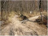 2
2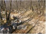 3
3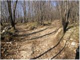 4
4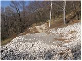 5
5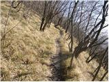 6
6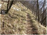 7
7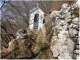 8
8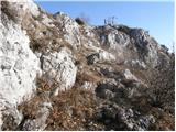 9
9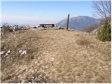 10
10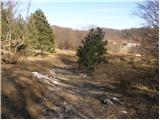 11
11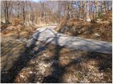 12
12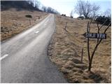 13
13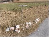 14
14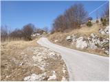 15
15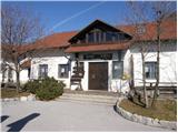 16
16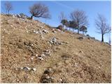 17
17 18
18
Discussion about the trail Stara baba - Sinji vrh
|
| bojann17. 03. 2009 |
Zdravo, pri opisu te poti je navedeno, da od table za izvir Hublja nadaljujemo najprej po asfaltu, nato pa po makademski poti. Mi lahko kdo pove, koliko minut ali kilometrov je te ceste (poti)od table za izvir Hublja do v opisu omenjenega parkirisca. Hvala in lp, Bojan 
|
|
|
|
| bojann17. 03. 2009 |
Hvala za odgovor.A je to mišljeno 20 minut peš ali z avtom?
|
|
|