Bašelj - Gradišče (Pustinjak) (via Sveti Lovrenc)
Starting point: Bašelj (590 m)
| Lat/Lon: | 46,321°N 14,4002°E |
| |
Name of path: via Sveti Lovrenc
Time of walking: 1 h 15 min
Difficulty: easy marked way
Altitude difference: 281 m
Altitude difference po putu: 355 m
Map: Karavanke - osrednji del 1:50.000
Recommended equipment (summer):
Recommended equipment (winter): ice axe, crampons
Views: 3.394
 | 2 people like this post |
Access to the starting point:
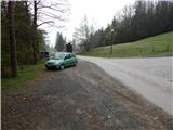
a) From the motorway Ljubljana - Jesenice, take the exit Kranj - East, then continue driving in the direction of Jezersko. When you reach Preddvor, leave the main road and turn left towards the centre of the town, and from there follow the signs for Bašelj. When you reach Bašelj, at the point where the main road makes a long left turn, leave the main road and continue straight ahead in the direction of the Gamsova cesta (Gamsova cesta). Continue along the narrow asphalt road that leads between the houses and the Belica stream. Park in the parking lot next to the Bašelj Tourist Board.
b) From the motorway Jesenice - Ljubljana, take the exit Kranj - West and turn left at the first junction. Continue through the underpass under the motorway and then to the roundabout, from where you continue in the direction of Golnik. The road continues through Mlaka pri Kranju, and at the end of the village we turn right in the direction of Srakovlje. We then drive through Srakovlje, Spodnja Bela, Srednja Bela, Zgornja Bela (in Zgornja Bela we join the road from Preddvor) to Bašlja, where the main road makes a long left turn, we leave it and continue straight on in the direction of Gamsova cesta. Continue along the narrow asphalt road that leads between houses and the Belica stream. Park in the parking lot next to the Bašelj Tourist Board.
Path description:
From the starting point at the log cabin of the Bašelj Tourist Association, continue along the forest road closed to public traffic, which leads us along the Belica stream. At first you walk along the football and basketball court, then you arrive at the first crossroads of the Gamsova cesta, where you continue left (straight along the road Kališe, Gradišče, Storžič. . . ) into the forest, where you first walk parallel to the road, then the path turns even more to the left and begins to climb crosswise over a gradually steeper and steeper slope. Higher up, we emerge from the forest, where we have a beautiful view towards the Gams paradise, Gorenjska and the nearby village of Laško. From here, we walk a few steps past the bench and the NOB memorial to the nearby road, and walk along it for only a few metres, as the Gamsova cesta signs direct us right into the forest. After a few minutes of climbing through the forest, you will reach a forest road, which you follow to the right to a nearby crossroads and a parking lot.
From the crossroads, continue along the worse and steeper road to the left in the direction of St. Lawrence and Dom pod Sv. Lovrencem (straight ahead Kališe, Storžič - it is also possible to reach Kališe and Storžič by continuing to the left). From the crossroads onwards, the ascent is relatively steep, and during the ascent, a marked footpath branches off to the right, leading directly to the church of St. Lawrence and bypassing the Dom pod Lovrencem (Home under St. Lawrence). Continue along the road, with some views from the higher ground. After a while, when the road turns sharp right, a few steps will take you to the aforementioned Dom pod Lovrencem.
From the house, continue in the direction of Javornik, Velika and Mala Poljana, Kališe and Storžič, along a path that climbs moderately through the forest. The well-worn path quickly leads out of the forest onto a vast hayfield, over which you can walk to the Church of St. Lovrenec, enjoying the beautiful views.
Behind the church, the path returns to the forest and begins to descend towards a marked crossroads a few minutes away, where we continue straight in the direction of Storžič and Kališča. From this crossroads, continue for a short distance along a wide and well-trodden path, and then the signs for the Gamsova cesta direct you to the right, crosswise downwards, onto a slightly narrower path. There is a few minutes' crossing with a few short ascents and descents, and then over a short exposed part we descend into a gully, which we cross and then climb on its other side to cart track. Follow Cart track to the right and we descend it to a nearby forest road. When you get on the road, continue left (right Laško and Bašelj), then after a few steps, at the signs for the private parking area, continue right on the beaten track, which in a minute or two of further walking will take you to the top of Gradišče, where there is a small wooden hut.

Pictures:
 1
1 2
2 3
3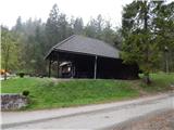 4
4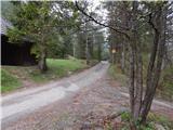 5
5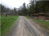 6
6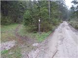 7
7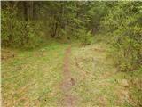 8
8 9
9 10
10 11
11 12
12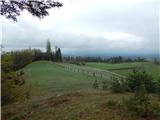 13
13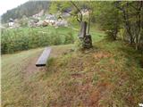 14
14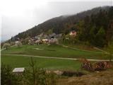 15
15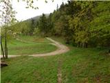 16
16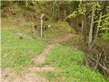 17
17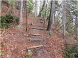 18
18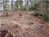 19
19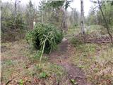 20
20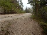 21
21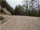 22
22 23
23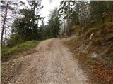 24
24 25
25 26
26 27
27 28
28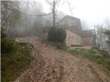 29
29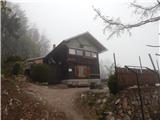 30
30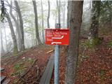 31
31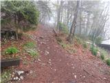 32
32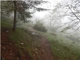 33
33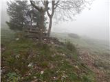 34
34 35
35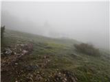 36
36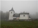 37
37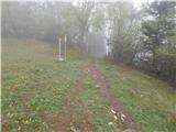 38
38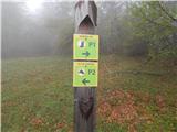 39
39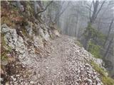 40
40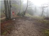 41
41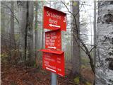 42
42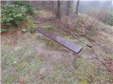 43
43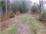 44
44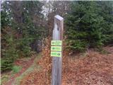 45
45 46
46 47
47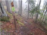 48
48 49
49 50
50 51
51 52
52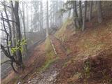 53
53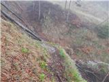 54
54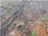 55
55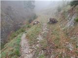 56
56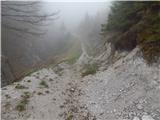 57
57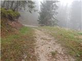 58
58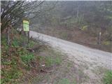 59
59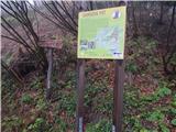 60
60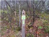 61
61 62
62 63
63 64
64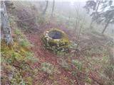 65
65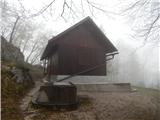 66
66 67
67
Discussion about the trail Bašelj - Gradišče (Pustinjak) (via Sveti Lovrenc)
|
| baloncek0510. 04. 2021 20:10:28 |
Odlicna krozna pot Gamsova pot, mimo Lovrenca, kjer imajo odlicne krofe. 
|
|
|
|
| anica.zu11. 04. 2021 19:19:44 |
Pravite: krožna pot. Mimo Lovrenca gor, kod pa dol?
|
|
|
|
| Loni13. 04. 2021 12:37:35 |
Sledite oznakam nad cerkvijo, s P 1 je označena Gamsova pot, pod Gradiščem v večjem ovinku zavijete s ceste, je tudi označeno in se po gozdni stezi vrnete na makadamsko cesto, mimo zbiralnika vode do brunarice.
|
|
|