Zadnja vas - Šentanski vrh
Starting point: Zadnja vas (638 m)
| Lat/Lon: | 46,3608°N 14,2448°E |
| |
Time of walking: 3 h 5 min
Difficulty: easy marked way
Altitude difference: 997 m
Altitude difference po putu: 1040 m
Map: Karavanke - osrednji del 1:50.000
Recommended equipment (summer):
Recommended equipment (winter): ice axe, crampons
Views: 3.237
 | 1 person likes this post |
Access to the starting point:
From the motorway Ljubljana - Jesenice, at the Podtabor fork, continue in the direction of Ljubelj and Tržič. Continue along the expressway towards Ljubelj, then turn right just before the petrol station in the direction of Tržič and Begunj. The road then starts to descend, and at the first junction we continue left (towards Begunje) into an underpass, through which we arrive at Bistrica near Tržič. A little further on, the sign for Begunje directs us to the right onto a narrower and ascending road, which we then follow through the village of Brezje and Hudi Graben. After Hudi Graben, a few 100 m after the crossroads where the road to the village of Leše and Paloviče branches off to the left, you will see a macadam road on the right and the mountain signs for Dobrčo alongside it. Take the dirt road (the turn off the main road is sharp right) and after a few metres park in the parking lot next to the road.
Access from Begunj is also possible.
Path description:
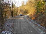
From the starting point, continue along the macadam road, which soon makes the first left turn and then switches to the grassy slopes, which offer a beautiful view of the Julian Alps. The road soon returns to the forest and leads to a small unmarked crossroads. Continue to the right and follow the road to the next sharp left turn. In the middle of this bend, cart track branches off to the right, at which you will see a marking on a small tree. Continue ascending along the above-mentioned cart track, which gradually starts to climb steeper and steeper. The rather rugged cart track, along which markings are rather rare, joins the more beaten track coming from the village of Hudi Graben higher up.
Continue left along a relatively steep path that continues through the forest. Higher up, you come out on a less well-trodden forest road, which you follow for some 10 paces to a wider macadam road. Cross the road, as signs direct you to a footpath which crosses the road a few more times. Follow the footpath, which sometimes climbs quite steeply, all the way to Koča na Dobrči.
In the vicinity of the hut on Dobrča, the markings for the summit of Dobrča direct us to a forest road, which begins to descend gently to the north. After a short descent, you will see direction signs directing you to the right to Maria Elender Alm, with the hut on the right hand side. We continue up a grassy slope with a view, then the path turns into a sparse forest at first, but higher up it becomes more and more dense. When the slope subsides, two paths join from the right, and in both cases we continue straight ahead. The path ahead climbs steeply again and after a few minutes of further walking leads us to the top of Dobrča.
From Dobrča we continue in the direction of Šentanski vrh along the path which first descends into a small valley between the two peaks, then climbs moderately and after a few 10 steps of further walking leads us to Šentanski vrh.

Pictures:
 1
1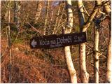 2
2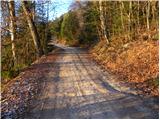 3
3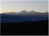 4
4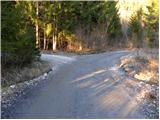 5
5 6
6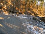 7
7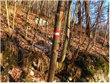 8
8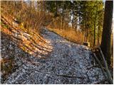 9
9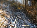 10
10 11
11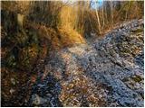 12
12 13
13 14
14 15
15 16
16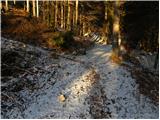 17
17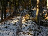 18
18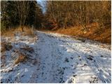 19
19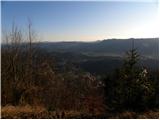 20
20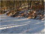 21
21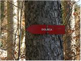 22
22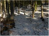 23
23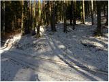 24
24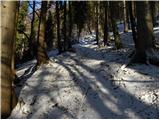 25
25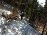 26
26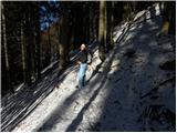 27
27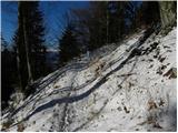 28
28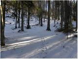 29
29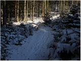 30
30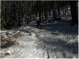 31
31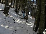 32
32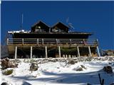 33
33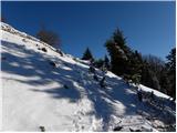 34
34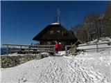 35
35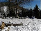 36
36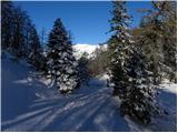 37
37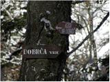 38
38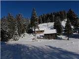 39
39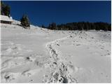 40
40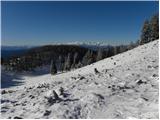 41
41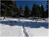 42
42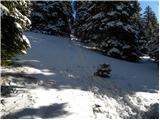 43
43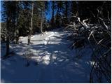 44
44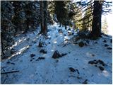 45
45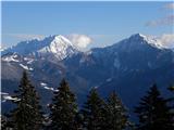 46
46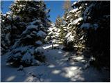 47
47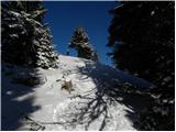 48
48 49
49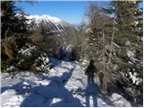 50
50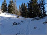 51
51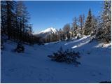 52
52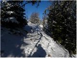 53
53 54
54 55
55 56
56
Discussion about the trail Zadnja vas - Šentanski vrh