Weißenbach - Spitzegel / Negal (25d)
Starting point: Weißenbach (960 m)
| Lat/Lon: | 46,6846°N 13,43897°E |
| |
Name of path: 25d
Time of walking: 3 h 40 min
Difficulty: partly demanding marked way
Altitude difference: 1159 m
Altitude difference po putu: 1165 m
Map:
Recommended equipment (summer):
Recommended equipment (winter):
Views: 861
 | 1 person likes this post |
Access to the starting point:
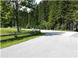
A small village Weißenbach (postal no. 9714) in Austrian state of Carinthia is a starting point. To get there, leave the highway section Villach - Spittal an der Drau at exit Paternion. After that there are two options. First, via Stockenboi and then after a few kilometers follow the sign Farchtensee and turn left (right or straight is a lake Weißensee), drive a few minutes more and park. Second option is via Kreuzen and lake Farhtensee to the starting point. The starting point is recognized by a small crossroad with many sings in plain sight (e.g. Fischeralm, Bodenalm, Jausenstation). Park by the road on the other side from the signs and a few meters down the road.
Path description:
Take a turn from regional road to the road following the stream slightly upwards to the mountain pasture Fischeralm (follow the signs Fischeralm, Bodenalm or Jausenstation). After that follow the dusty road, cross a boom gate, and follow the signs to the Fischeralm.
Just before Fischeralm you will see signs for Spitzegel (path 25d). Follow the path north by the stream bed and be vigilant for signs, since you should turn left and cross the stream bed. The signs can easily be missed. Especially because the better path (just short of a road) continues straight ahead to a water tank 10 minutes of walking distance away.
After turning left, continue the ascending path through the forest (many trees were felled here recently). The path predominantly leads east and it gets less and less steep.
With this attitude at its most eastern point the path reaches a hardly distinguishable ridge leading up the slopes. At this point the signs will direct you right / west again up the ridge.
A larch forest begins to thin rapidly and it is soon replaced by pine bushes. After that just a few meters after the grass begins, you will reach a saddle east of a mountain Vellacher Egel, 2108m.
From here continue west on the southern slopes of the ridge. At first the path looses some altitude, but it soon regains it. Before the summit, the ridge gets narrow and steeper. Some very easy scrambling is necessary (because of this detail, the path is technically marked as a partly demanding one).
The summit offers great views to the Gailtal valley and to the western part of Julian Alps. To the northwest, a large and beautiful lake Weißensee glitters.
A summit cross awaits you on the top with a summit book and a stamp for "Vrhovi Prijateljstva / Gipfel der Freundschaft / Cime dell' Amicizia" hikers passport.
You can return via west along the mountain pastures Obervellacheralm, Radnigeralm and Bodenalm.

Pictures:
 1
1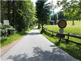 2
2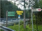 3
3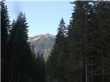 4
4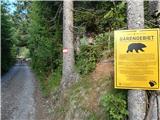 5
5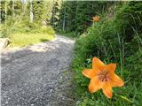 6
6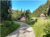 7
7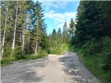 8
8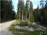 9
9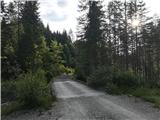 10
10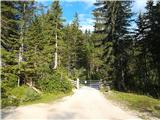 11
11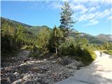 12
12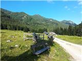 13
13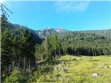 14
14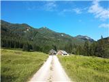 15
15 16
16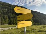 17
17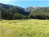 18
18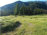 19
19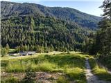 20
20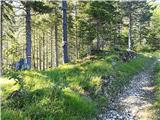 21
21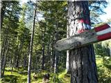 22
22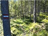 23
23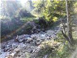 24
24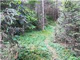 25
25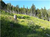 26
26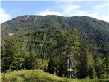 27
27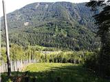 28
28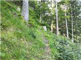 29
29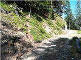 30
30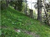 31
31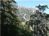 32
32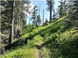 33
33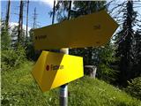 34
34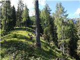 35
35 36
36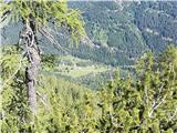 37
37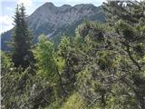 38
38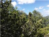 39
39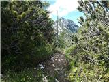 40
40 41
41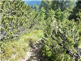 42
42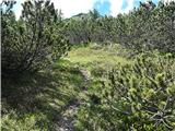 43
43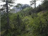 44
44 45
45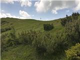 46
46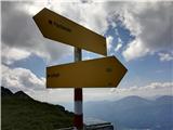 47
47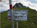 48
48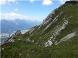 49
49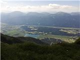 50
50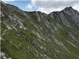 51
51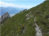 52
52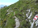 53
53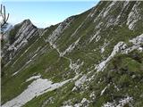 54
54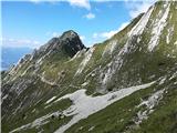 55
55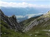 56
56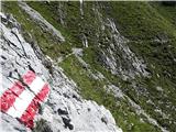 57
57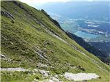 58
58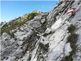 59
59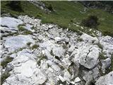 60
60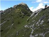 61
61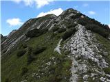 62
62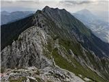 63
63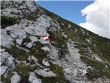 64
64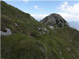 65
65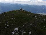 66
66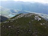 67
67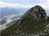 68
68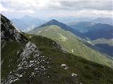 69
69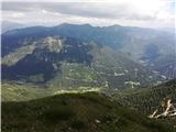 70
70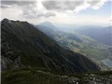 71
71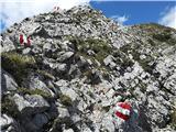 72
72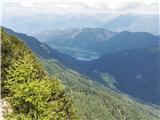 73
73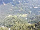 74
74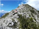 75
75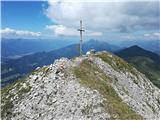 76
76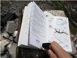 77
77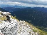 78
78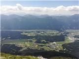 79
79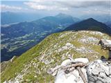 80
80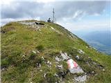 81
81
Discussion about the trail Weißenbach - Spitzegel / Negal (25d)