Starting point: Bjelsko (625 m)
Time of walking: 1 h 15 min
Difficulty: difficult marked way
Altitude difference: 556 m
Altitude difference po putu: 557 m
Map:
Recommended equipment (summer):
Recommended equipment (winter):
Views: 6.774
 | 1 person likes this post |
Access to the starting point:
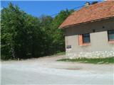
Leave the Zagreb - Split motorway at the Ogulin exit. Continue through Ogulin in the direction of Vrbovsko, and at the end of the town you will reach a crossroads by the football field of NK Dobra, where you will continue in the direction of Jasenak. Continue over the bridge at Dobra and drive for a few kilometres before arriving at the village of Bjelsko. The trail starts at an abandoned building with plenty of space for parking.
Path description:
From the starting point or parking lot, go into the forest, where you will cross some forest roads. Higher up, the path leads across a small meadow and then into a beech forest. Walk along a wide and well-trodden path, which then climbs moderately to steeply. Higher up, the path becomes rockier and we join the path from Ogulin.
After the crossroads, we reach a bench for a rest, followed by two bends. After the second serpentine, there is a steep climb, and the path then soon flattens out. Here, where the path comes to rest, we are near the hut, as the welcome sign tells us, and there is also a memorial nearby.
At the hut, which is located at exactly 1000 metres above sea level, you can rest and have a snack, or you can spend the night (the hut is only stocked with drinks!).
From the hut, head west along a sloping path, which is partly rough and rocky, as it passes under cliffs, and also leads past an interesting cave. When the path starts to climb steeply, we reach a crossroads where we join the paths from Vitunj and Kamačnik.
The path continues up the steps, and above them we get an exceptional view. Continue left to the east and you will reach the most challenging part of the trail.
This part is also not protected by a rope, but by a cable. Even when the fixed safety gear ends, we continue to climb up the steep exposed slope for some time, but then the path does give way.
The path ahead takes us past a helipad, and we continue straight east along a narrow ridge, which is protected in places by rocks. A little further on, we arrive below the summit itself, where we climb to the top of Klek in a partly challenging ascent.

Pictures:
 1
1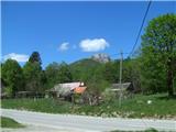 2
2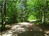 3
3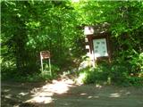 4
4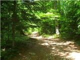 5
5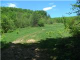 6
6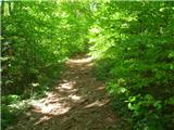 7
7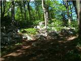 8
8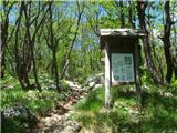 9
9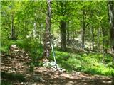 10
10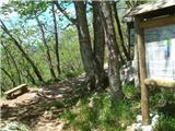 11
11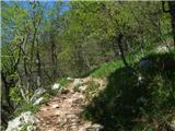 12
12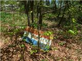 13
13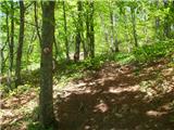 14
14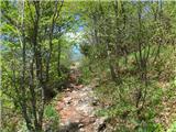 15
15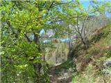 16
16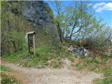 17
17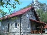 18
18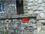 19
19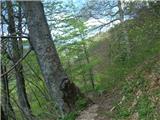 20
20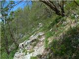 21
21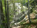 22
22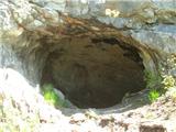 23
23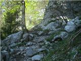 24
24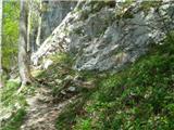 25
25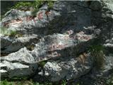 26
26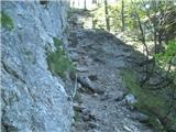 27
27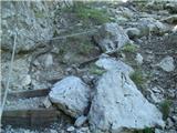 28
28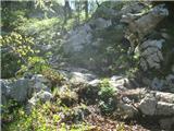 29
29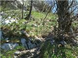 30
30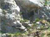 31
31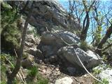 32
32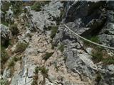 33
33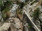 34
34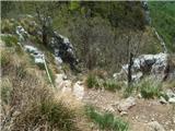 35
35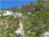 36
36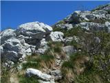 37
37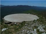 38
38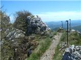 39
39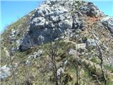 40
40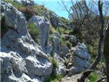 41
41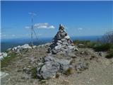 42
42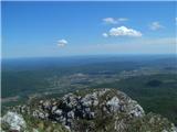 43
43
Discussion about the trail Bjelsko - Klek