Starting point: Vitanje (452 m)
Time of walking: 1 h 50 min
Difficulty: easy marked way
Altitude difference: 639 m
Altitude difference po putu: 650 m
Map: Pohorje 1:50.000
Recommended equipment (summer):
Recommended equipment (winter): ice axe, crampons
Views: 9.600
 | 1 person likes this post |
Access to the starting point:
a) From the Ljubljana - Maribor motorway, take the Celje - centre exit and continue to Vojnik. In Vojnik, turn left towards Dobrna, and follow the road to Nova Cerkev, where the signs for Vitanje direct you to the right. Continue along a narrower and winding road to reach Vitanje. Park in a suitable place in the centre of the town.
b) From the Maribor - Ljubljana motorway, take the Slovenske Konjice exit and follow the road towards the town. From Slovenske Konjice, continue on the regional road towards Celje, and follow it to Stranice, where you turn right at the roundabout towards Vitanje. Follow the road to the above-mentioned place, where you will park in a suitable place in the centre of the town.
c) From the road Velenje - Slovenj Gradec, turn right at Gornji Dolič (left if coming from Slovenj Gradec) towards Vitanje. When you arrive in Vitanov, park in a suitable place in the middle of the town.
Path description:
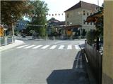
From where we parked, we first walk to the main crossroads in Vitanje, and from there we continue along the main road towards Slovenske Konjice. Walk along the main road for a few 100 metres and then a signpost will direct you right down to a nearby bridge. After the bridge, follow the road past the kindergarten to Cvetlična Street. When you reach the junction with Štajnhof Street, turn left and follow the road up to the last house, which is located near a sharp left turn. At the end of the bend, a dirt road branches off to the right, and we walk along it for only 2 metres before continuing left into the forest (it is also possible to get here by car).
Continue on the marked path, which starts to climb steeply through the forest. Higher up, the path becomes even steeper, and then leads to a lookout point with a bench, where it is placed. Further on, the path leads us past the prefabricated house, and higher up, when the forest ends, past the Vodovnik farm. Here the markings end, and we continue through the courtyard of the farm and then along the forest road back into the forest. Continue along the road for a minute or so, and then a narrower path branches off to the right, along which we continue our ascent. The ascent through the forest is again a little steeper, and the steepness eases a little higher up when you reach the next forest road, which is usually quite muddy. Continue along the road, which at the next junction bear left, then after a few minutes bear right. Now follow the forest road, which continues parallel to a wide track. When the forest thins out, the markings disappear again and we reach a very wide and well-maintained road, which we just cross. We continue along a serpentine path that leads us through low forest and ferns. Higher up, the path returns to the forest and there is one last steep slope ahead. We climb steeply for a while before reaching a ridge where a short path branches off towards a nearby viewpoint. When you reach the ridge, the path flattens out, and from there a path branches off towards the Sanctuary of the Hand of Mary. From the crossroads it is a 5-minute walk to the top of Stenice.

Pictures:
 1
1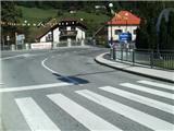 2
2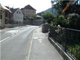 3
3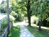 4
4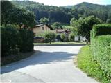 5
5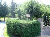 6
6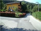 7
7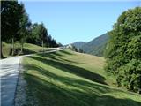 8
8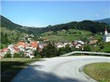 9
9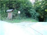 10
10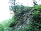 11
11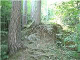 12
12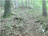 13
13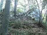 14
14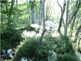 15
15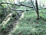 16
16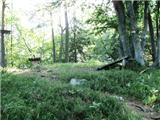 17
17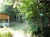 18
18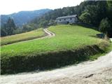 19
19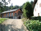 20
20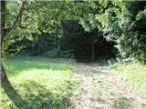 21
21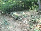 22
22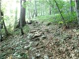 23
23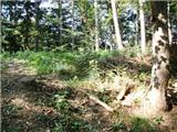 24
24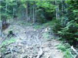 25
25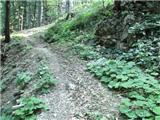 26
26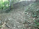 27
27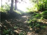 28
28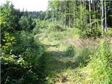 29
29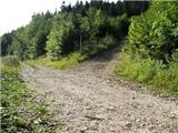 30
30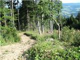 31
31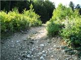 32
32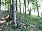 33
33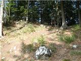 34
34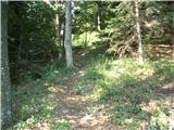 35
35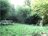 36
36
Discussion about the trail Vitanje - Stenica
|
| Marx9. 02. 2014 |
Bil spet na Mali gori / Stenici. Narejena je nova varianta poti - zdaj na sliki 19 ne gremo več skoz kmetiju Vodovnik , ampak gremo naprej na sever po gozdni cesti. Ko pridemo v gozd bomo po katerih dve minoti šli ostro levo na razpotju navzgor. Ko zagledamo kmetiju gremo ostro desno v gozd in bomo tu vidli markacije. Na opisano pot se vrnemo nekjer okoli slike 24. Zdi mi se da ta varianta podaljša pot za nekaj pet minut.
|
|
|
|
| giovannixyz23. 08. 2015 |
Kot novi planinc  lahko rečem da je ponekod zelo slabo označena pot. spet drugje pa odlično, skoraj na 10m markacija. Pot je super in jo priporočam
|
|
|
|
| Fulcrum2. 01. 2016 |
Pot na Stenico je sedaj dobro označena in nekoliko spremenjena, saj se v celoti izogne kmetiji Vodovnik. Ko pridemo mimo vikenda (sl. 18) do ceste (sl. 19) gremo desno po makadamski cesti, ki kmalu ostro zavije v levo. Po cesti hodimo nekaj sto metrov, dokler nas smerokaz ne usmeri desno na označeno pot.
|
|
|
|
| pohodnik3819. 02. 2017 |
Ker Stenica nima svojega mesta v temi razmere bom kar tukaj.Včeraj prehodil tole pot ki je kar solidno označena v naselju malo manj a vse eno sledljiva.Pot je brez posebnosti. SLIKE in osebni vtisi z poti Lp ! Tone
|
|
|
|
| VanSims26. 02. 2024 15:04:59 |
Pot od slike 10 (table) - 17 (razgledišče) je pri sestopu v mokrem (kakršno je bilo včeraj) lahko zelo nevarna.
Alternativni sestop se ponuja sam od sebe. Z vrha razgledišča se po par 10 metrih spustimo nazaj na malo sedelce in od tam nadaljujemo levo in se spuščamo po udobnem kolovozu, ki se spusti do ceste, kjer gremo zopet levo in po kake 10 minutah zopet pridemo na sliko 10.
|
|
|