Vojnik - Sveti Tomaž above Vojnik (direct way)
Starting point: Vojnik (286 m)
| Lat/Lon: | 46,28838°N 15,30664°E |
| |
Name of path: direct way
Time of walking: 30 min
Difficulty: easy unmarked way
Altitude difference: 158 m
Altitude difference po putu: 158 m
Map:
Recommended equipment (summer):
Recommended equipment (winter):
Views: 2.080
 | 2 people like this post |
Access to the starting point:
Follow the Štajerska motorway to the Celje-center exit, where you leave the motorway and turn right towards Vojnik. Follow the main road to Vojnik, where you will soon see the parish church of St. Jernej on the right. Drive around it and park in the large gravel parking lot.
Path description:
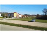
From the parking lot, looking east, away from the church, we can already see our destination in the distance. We head that way along the street that goes past the parking lot. At the end of the street, the main road turns left and a small sign directs us slightly right onto the access road. At the end of the drive, you will come into the yard of a house, where a footpath branches off slightly to the right across a meadow. Follow this path across the meadow until you come back to the road. Here, signs point you straight uphill. Keep following the asphalt road straight ahead, even when it turns to dirt. At a sharp bend, the signs point us right into the forest. Follow the very steep path to a large forest crossroads, where you keep to the right. Then follow the very steep path, at the crossroads the signpost directs us to the right. the path becomes steeper, there is a wooden fence along the way to help us. After a sharp turn to the left, we reach the Cottage pri Tomažu, from which we climb only a short flight of stairs and arrive at the top. Next to the church, there are benches at the top, next to which there is a box with a registration book and a stamp. The path is a well-trodden, often-visited unmarked path. Signposts at major crossroads guide the way. There are no signs!

Pictures:
 1
1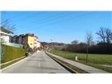 2
2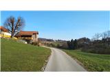 3
3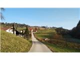 4
4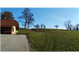 5
5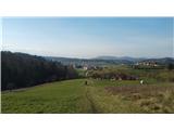 6
6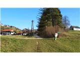 7
7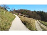 8
8 9
9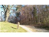 10
10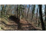 11
11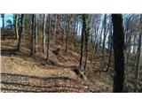 12
12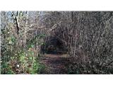 13
13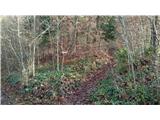 14
14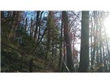 15
15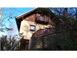 16
16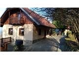 17
17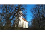 18
18 19
19
Discussion about the trail Vojnik - Sveti Tomaž above Vojnik (direct way)