Seljanec - Ham (via Seljanečki potok)
Starting point: Seljanec (235 m)
| Lat/Lon: | 46,2076°N 16,2412°E |
| |
Name of path: via Seljanečki potok
Time of walking: 1 h 30 min
Difficulty: easy marked way
Altitude difference: 444 m
Altitude difference po putu: 444 m
Map:
Recommended equipment (summer):
Recommended equipment (winter):
Views: 2.706
 | 1 person likes this post |
Access to the starting point:
a) Cross the Border crossing Gruškovje into Croatia and continue on the Croatian motorway, leaving at the first exit. Continue in the direction of Trakoščan and Ivanec. At the end of Ivanec, you reach the village of Ivanečko Naselje, where you leave the main road towards Varaždin and continue in the direction of Margečan (you leave the main road towards Varaždin only a few 10 metres before the railway underpass). Continue through the village of Salinovec, then cross a bridge over the Bednja River and into the Bednja gorge. When the gorge ends, you will soon reach a crossroads where you continue right into the village of Margečan. When the village of Margečan ends, you arrive in the neighbouring village of Seljanec, where you park in a small parking lot in Belska Street (park behind the blue bridge or somewhere along the main road).
b) First we drive to Varaždin, then we continue our drive to Zagreb. In the village of Turčin, do not turn left towards the motorway, but first continue straight through the village and then turn right towards Ivanec. In Sveti Ilija, turn left and drive to the next village, Beletinec, from where you continue in the direction of Ivanovac. At the end of Završje village, continue over the bridge over Bednja (yellow fence), and then in Bela village you will see a mountain arrow. The road then leads us along the restored Bela Manor House, beyond which we arrive in the village of Seljanec.
Path description:
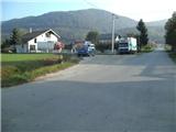
Regardless of where you park in Seljanc, the first thing to do is to return to the main road, from where you continue eastwards. When the settlement ends, continue right along Barunska Street and at the end of the street follow cart track into the woods, where you will cross the Seljanečki Brook for the first time, and then climb along it for about a third of the way. Cart track then leads quickly to a crossroads, usually with plenty of firewood and sawdust. Continue along the gently sloping cart track, which leads to two successive crossings of the aforementioned stream. Here you will see a game feeder along the trail and a trail branching off to the right towards the Velika Zija climbing area.
Continue along the left-hand path, which quickly changes from cart track to a forest path, which then crosses the stream a few more times. The path then becomes steeper and climbs along and along the ravine of the Seljanečki brook, which has been mentioned several times. Above the town, after crossing the brook for the last time, we step on the usually rather muddy cart track, which leads us just a little further to the next crossroads, where we continue to the right towards the top of the Ham (slightly to the left, the mountain hut Lujčekova Hiža na Pokojcu - 10 minutes). For some time we continue along the gently sloping cart track, then we arrive at the meadow, from where we again continue right into the forest (at the edge of the forest there is a bench on which we can rest). Here the path begins to climb steeper, but it quickly leads us to a crossroads where we can stray, because the arrow is poorly drawn. Continue left, although it seems more logical to go right. When you reach the next fork in the path a little further ahead, continue up the steeper path, which then climbs up the south-west slope of Ham. When the steepness subsides, you will come to the abandoned mountain pasture Velika Raven (once mountain pasture was used for cattle grazing, today mountain pasture is deserted and overgrown).
Continue along the marked cart track into the forest, which again becomes quite steep. Higher up, the cart track markings direct us to a marked path, which lays down transiently and then leads to a steeper and partly rocky slope, where there is a slightly greater risk of slipping, especially in wet conditions. When we reach the Hama ridge, the path is laid, and we reach the top within a minute or two of further walking. The summit is covered with forest, so for a view from the top we must continue to the right to a nearby lookout point, from which we open a beautiful view of Ivanščica, Ravna Gora and Hamec, and with very good visibility, the Kamniško Savinjske Alps can also be seen.

Pictures:
 1
1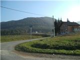 2
2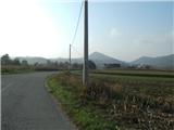 3
3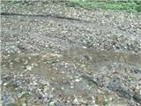 4
4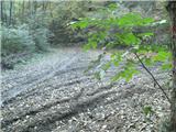 5
5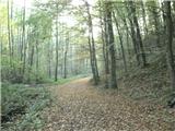 6
6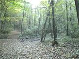 7
7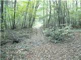 8
8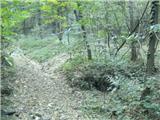 9
9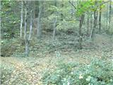 10
10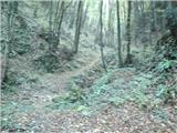 11
11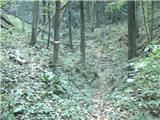 12
12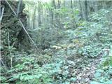 13
13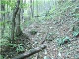 14
14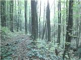 15
15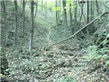 16
16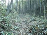 17
17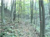 18
18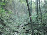 19
19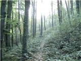 20
20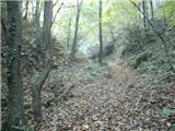 21
21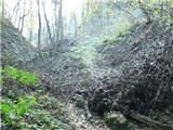 22
22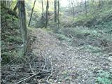 23
23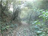 24
24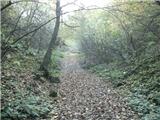 25
25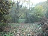 26
26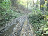 27
27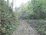 28
28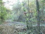 29
29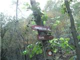 30
30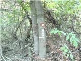 31
31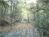 32
32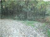 33
33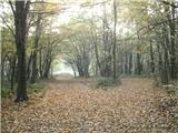 34
34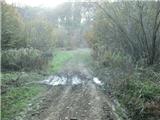 35
35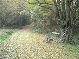 36
36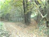 37
37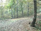 38
38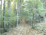 39
39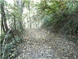 40
40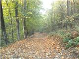 41
41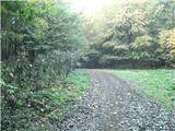 42
42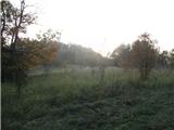 43
43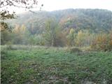 44
44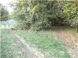 45
45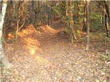 46
46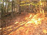 47
47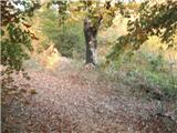 48
48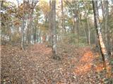 49
49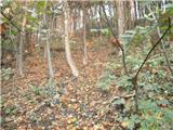 50
50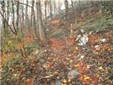 51
51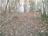 52
52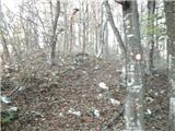 53
53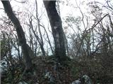 54
54 55
55
Discussion about the trail Seljanec - Ham (via Seljanečki potok)
|
| Marx7. 06. 2015 |
Bil danes (07.06.) na tej poti. Ob začetku je nekaj podrtih drves , ampak je le z enim težavno. Potoka skoraj da ni , ampak je zato del od zadnjeg prečkanja Seljanečkeg potoka (Slika 28) do livade Frukov Krč (Slika 36) precej blatno kljub vručini brez dežja.
Žal je razglednik ob vrhu zdaj preraščen z gozdom in razgleda več ni...
Tista pot je za zdaj edina uradna in markirana pot na Ham. Jaz za sestop (In občasno za vzpon) rabim neuradno severno varijanto. Od vrha je potrebno iti na jug in po nekaj minut hoje se pride na kolovoz. Zdaj taj kolovoz pratimo vse do Seljanca. Problem je kar je na nekaj mest izjemno zahtevna podlaga ker se kolovoz rabi za spuščanje drves v dol in je ob blatu in snegu skoraj pa neprohoden.
|
|
|