Podevčevo - Čevo (left path past Malo Čevo)
Starting point: Podevčevo (197 m)
Name of path: left path past Malo Čevo
Time of walking: 50 min
Difficulty: easy marked way
Altitude difference: 365 m
Altitude difference po putu: 365 m
Map:
Recommended equipment (summer):
Recommended equipment (winter): crampons
Views: 1.838
 | 2 people like this post |
Access to the starting point:
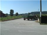
From Varaždin, take the old road to Zagreb. In the village of Turčin, just before the climb, you will see a signpost for Tužno-Ivanec. Here we turn right and pass through the villages of Tomaševec (the track!), Doljan, Žigrovec and arrive in the village of Sveti Ilija. Here you will turn left up the hill towards Beletinec (Caution! Straight ahead is the town of Beretinec). Go down the bank after the village of Sveti Ilija and continue straight until you reach the village of Podevčevo. Orientation is easy from here on, because Čevo is ahead. In Podevčevo, park in the parking lot in front of the Brk Inn or by the football pitch at the beginning of the village.
Path description:
From the parking lot, continue along the main road, which you leave at a sharp left turn (markings on two pines), from where you continue towards the hamlet of Novoselci. Here the narrower road turns right, and then it looks like the path ends, but it does not, as the markings direct us left to the yard of an abandoned farm, where the path leads us past the garden and along the fence. Soon you reach a crossroads where you take the steep path to the left.
The left path leads us further along the vineyard and then through the forest to a large rock, where we go left (at first glance it seems more straight). The path, which has been quite steep up to now, is laid here transiently. Higher up, the path becomes more and more south-easterly, where it switches from a wider path to a narrower one, which climbs in a few serpentines to the ridge of Čevo.
On the ridge, the ground becomes rockier and the path steeper (especially slip hazard during and after rain). At the top of the steep part, a short path branches off to the right to the nearby viewpoint of Malo Čevo, from where a really nice view opens up. After the lookout we will come to a crossroads where the path to Grebengrad branches off to the right and we go straight ahead. Ahead of us is the steepest part of the trail, which could make the trail marked as partly difficult (but then again, it's not that difficult). The steepness soon subsides, the forest thins out a bit and we get some views. The path continues on a slightly rockier, but relatively gentle, surface.
The summit is in the forest and does not offer a view, but it does have a summit stamp, but not an entry book.
From the top we can continue for about 5 minutes to the Balkon lookout, from where we have a view to the west, where, with good visibility, we can see all the way to the Kamniško Savinjske Alps.
As the left path is quite steep, the right path is recommended for descent.

Pictures:
 1
1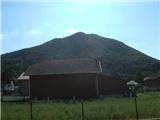 2
2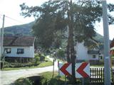 3
3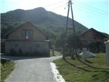 4
4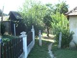 5
5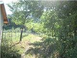 6
6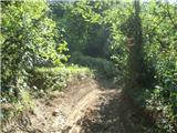 7
7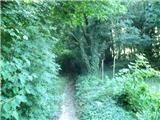 8
8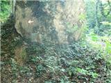 9
9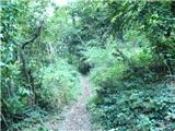 10
10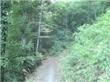 11
11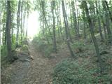 12
12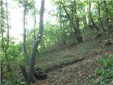 13
13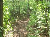 14
14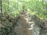 15
15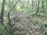 16
16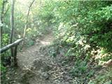 17
17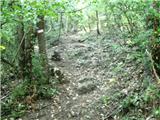 18
18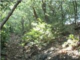 19
19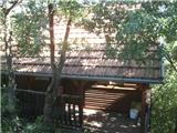 20
20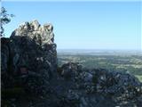 21
21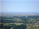 22
22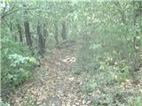 23
23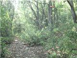 24
24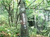 25
25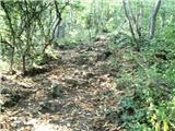 26
26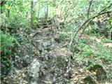 27
27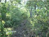 28
28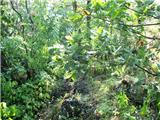 29
29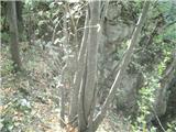 30
30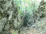 31
31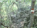 32
32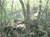 33
33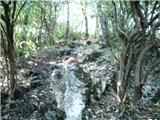 34
34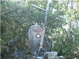 35
35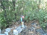 36
36
Discussion about the trail Podevčevo - Čevo (left path past Malo Čevo)
|
| Marx18. 03. 2016 |
Začetek poti je zdaj nekaj zmenjen. Od razpotja na sliki 3 ne gremo več naprej nego zavinemo desno na zahod. Na opisano stezo pridemo nazaj na sliki 7. Vse je lepo označeno in ga ni mogoče polomiti.
Kljub spremembi je čas hoje nespremenjen.
|
|
|