Starting point: Podevčevo (197 m)
Time of walking: 1 h 15 min
Difficulty: easy marked way
Altitude difference: 365 m
Altitude difference po putu: 365 m
Map:
Recommended equipment (summer):
Recommended equipment (winter):
Views: 2.260
 | 1 person likes this post |
Access to the starting point:
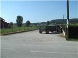
From Varaždin, take the old road to Zagreb. In the village of Turčin, just before the climb, you will see a signpost for Tužno-Ivanec. Here we turn right and pass through the villages of Tomaševec (the track!), Doljan, Žigrovec and arrive in the village of Sveti Ilija. Here you will turn left up the hill towards Beletinec (Caution! Straight ahead is the town of Beretinec). Go down the bank after the village of Sveti Ilija and continue straight until you reach the village of Podevčevo. Orientation is easy from here on, because Čevo is ahead. In Podevčevo, park in the parking lot in front of the Brk Inn or by the football pitch at the beginning of the village.
Path description:
From the parking lot, continue along the main road, which you leave at a sharp left turn (markings on two pines), from where you continue towards the hamlet of Novoselci. Here the narrower road turns right, and then it looks like the path ends, but it does not, as the markings direct us left to the yard of an abandoned farm, where the path leads us past the garden and along the fence. Soon you reach a crossroads where you continue straight up (steep path past Malý Čevo on the left).
The way forward leads us to an interesting, but unfortunately abandoned wine cellar and a little further into the dense forest, where the path is laid. The path continues along cart track, which turns into a path higher up, and leads through some clearings. A little further on, you reach a rock and a small bench next to it. Behind the bench, where we almost imperceptibly join the path from the village of Završje, the path starts to climb steeply. Higher up, the path becomes even steeper, and then, after a U-turn, it becomes steeper. At this point, the unmarked Tafrina path branches off to the left, and we continue straight along the sloping path, arriving at a crossroads where the path from the village of Bela and the path from Grebengrad join from the south. At the crossroads, take a sharp left and climb up a steep path which soon splits again. Go left again (straight shortcut) and climb in a few serpentines over a steep and overgrown part. When you get close to the bivouac, where you can take shelter in case of bad weather, the track splits again.
Near the bivouac there is a metal cross, a bench and a lookout point called Balkon, from where a nice view opens up.
From the bivouac, continue onwards and continue walking along the Čeva ridge. In a few minutes of gentle walking you will reach the top of Čeva, which is situated in the forest, so there is no better view.
The best way down is along the same path.

Pictures:
 1
1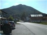 2
2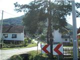 3
3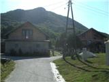 4
4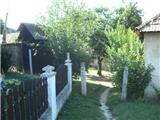 5
5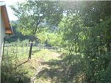 6
6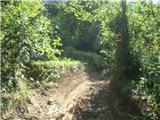 7
7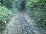 8
8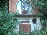 9
9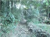 10
10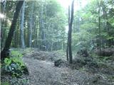 11
11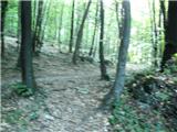 12
12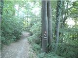 13
13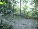 14
14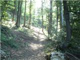 15
15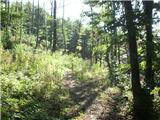 16
16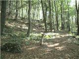 17
17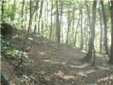 18
18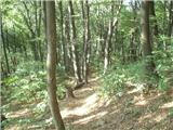 19
19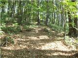 20
20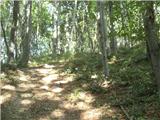 21
21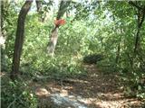 22
22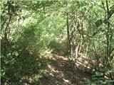 23
23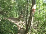 24
24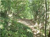 25
25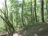 26
26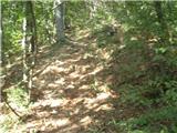 27
27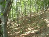 28
28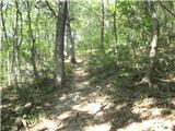 29
29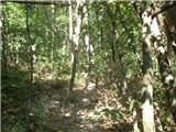 30
30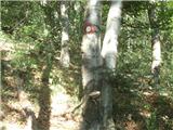 31
31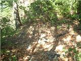 32
32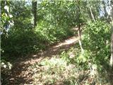 33
33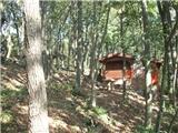 34
34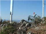 35
35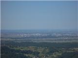 36
36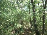 37
37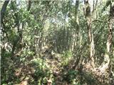 38
38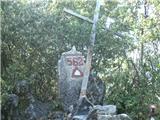 39
39 40
40
Discussion about the trail Podevčevo - Čevo
|
| Marx18. 03. 2016 |
Začetek poti je zdaj nekaj zmenjen. Od razpotja na sliki 3 ne gremo več naprej nego zavinemo desno na zahod. Na opisano stezo pridemo nazaj na sliki 7. Vse je lepo označeno in ga ni mogoče polomiti.
Kljub spremembi je čas hoje nespremenjen.
|
|
|