Planina Donja - Rog (Medvednica)
Starting point: Planina Donja (320 m)
Time of walking: 1 h
Difficulty: easy marked way
Altitude difference: 389 m
Altitude difference po putu: 389 m
Map:
Recommended equipment (summer):
Recommended equipment (winter):
Views: 2.246
 | 2 people like this post |
Access to the starting point:
Leave the Zagreb-Varaždin motorway at the Popovec exit. The first village on the old road towards Varaždin is Soblinec. In Soblinec, go left in the direction of Kašina. Continue through the villages of Gajec, Vurnovec and Prepuštovec until you reach Kašina, where you turn right. At the end of the village, you will see a road turning off to the left into the village of Mountain pasture Donja.
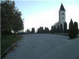
In Mountain pasture Donja there are few suitable parking places. I recommend parking by the church and the cemetery, which is located above the village.
Path description:
From the cemetery, walk back down to where you will see the sign for the entrance to the Medvednica Nature Park. Continue up the asphalt along Planinarska Street. After a few farms the road becomes gravel and after the first entrance to the forest there are a few good parking places, but if you are not early enough they are usually already taken.
When the path passes the wooden cottage, at the next bend you will pass through the forest, but only briefly, as the path returns to macadam after the meadow.
We will walk on the macadam for about a minute, and then back on the forest path through the forest to reach the grey hut and the crossroads.
Go up the meadow and the path leads you to the entrance to the forest, where you will find wooden steps to help you. We are in a compacted forest for a short time, and then we come to cart track, which will lead us to the next meadow.
From here, take a sharp right at the bend. The path will start to climb steeper and steeper. When you reach the steepest part, you will leave the cart track and come to the interesting feature of this path - two rocks that look like a horse and an elephant.
From the rocks, go left in a sharp bend. The steepness will ease a little, but the path will still be quite steep. The steepness will gradually ease at cart track and the path will lead us to a meadow where the Chapel of the Croatian Martyrs is located. Here we will turn left to a forest ramp. We now have one minute to climb to the Lipa-Rog home and lookout tower.
The lookout tower offers an exceptional view, despite its low height. The Kamnik-Savinja Alps are visible to the north-west, Kozara to the south and the Slavonian mountain pasture to the east.

Pictures:
 1
1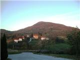 2
2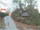 3
3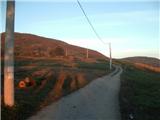 4
4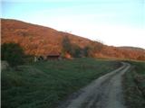 5
5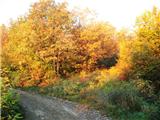 6
6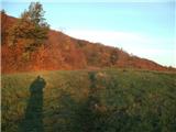 7
7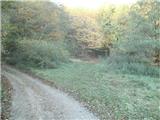 8
8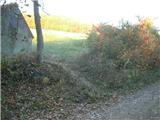 9
9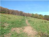 10
10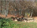 11
11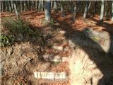 12
12 13
13 14
14 15
15 16
16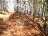 17
17 18
18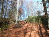 19
19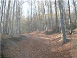 20
20 21
21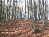 22
22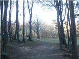 23
23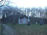 24
24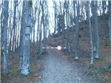 25
25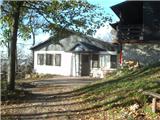 26
26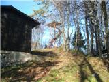 27
27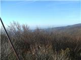 28
28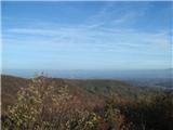 29
29
Discussion about the trail Planina Donja - Rog (Medvednica)