Prigorec - Ivanščica (Prekrižje)
Starting point: Prigorec (396 m)
Name of path: Prekrižje
Time of walking: 2 h
Difficulty: easy marked way
Altitude difference: 665 m
Altitude difference po putu: 665 m
Map:
Recommended equipment (summer):
Recommended equipment (winter): crampons
Views: 2.850
 | 1 person likes this post |
Access to the starting point:
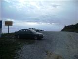
a) Enter Croatia at the Gruškovje / Macelj crossing. Leave the motorway at the first exit and go in the direction of Varaždin. Along the way there are Trakoščan, Bednja, Lepoglava and you arrive in Ivanec. In Ivanec, at the traffic light junction, turn right to the south (now the top of Ivanščice is right in front of us) and just keep going. The path begins to climb and leads to the village of Prigorec. We pass through the village and upwards, and at the highest house we will come to a large but often busy parking lot, where we leave our vehicle.
b) From Prekmurje via Border crossing Petišovci / Murska Stredoce we arrive in Croatia and continue driving through Čakovec and Varaždin, where we will turn in the direction of Ivanec. In Ivanec, at the traffic lights, turn left south and follow description a.
Path description:
From the parking lot, continue east along the macadam road, from which the unofficial "Po struji" trail branches off to the right after 50 metres. Soon you will reach the next crossroads, where you go slightly right uphill, and after the crossroads the Pionir trail also branches off to the right. Further on, our path enters the forest, through which it continues on the wider cart track, and then climbs gently. The path continues past a small interesting cave, followed by a couple of bends where the path curves imperceptibly to the south-east. Cart track becomes more cobbled and climbs steeply, but quickly flattens out. There is a gentle descent for about 20 minutes before reaching a large crossroads where there are usually a large number of logs.
At the crossroads, take a sharp right up the steep part of the path. At a nearby bend, the path gently flattens out, followed by some more walking, and then you reach the important crossroads of Prekrižje, after which this path is named. Here, several paths join from the left, from Nový Marof, Grebengrad, Pokojac, Ham, Budinščina and Gornja Selnica, and we go right.
The path passes to the southern slopes of Ivanščice, where we can see the villages of Budinščina and Zajezda through the treetops, and Sljeme in the distance. Going forward, the path becomes steeper and leads to a crossroads in the Židovina area, where the path from Belzec joins us.
Go right up the initially gently sloping, then increasingly steep path, which continues along cart track. When the steepness subsides, the Pioneer trail joins us from the right, and then we leave the cart track and take a narrower path that leads us out of the forest to a ski slope below the top of Ivanščice (a project that never came to life). Continue past the small house and at the end of the building with the TV tower and you are already at the Pasaričev dom mountain hut. Go left here and after less than a minute you are at the top, where there is a lookout tower with an exceptional view.
The route described is the longest, but also the easiest route with the starting point in Prigorac. Many mountaineers use it for descent.
Prigorec - crossroads with logs 45 minutescrossroads with logs - Prekrižje crossroads 15 minutes
Prekrižje crossroads - Židovina crossroads 10 minutes
Židovina - top 50 minutes.

Pictures:
 1
1 2
2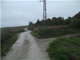 3
3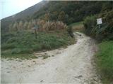 4
4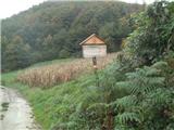 5
5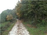 6
6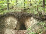 7
7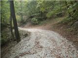 8
8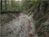 9
9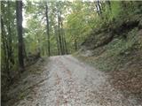 10
10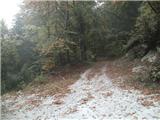 11
11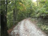 12
12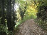 13
13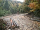 14
14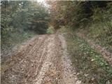 15
15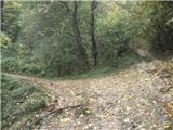 16
16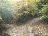 17
17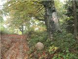 18
18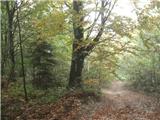 19
19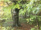 20
20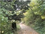 21
21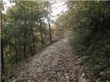 22
22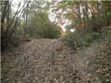 23
23 24
24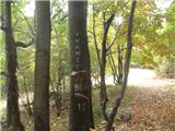 25
25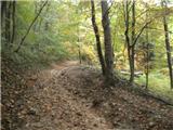 26
26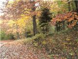 27
27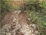 28
28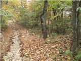 29
29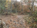 30
30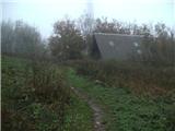 31
31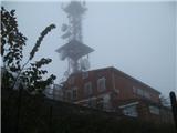 32
32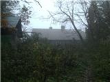 33
33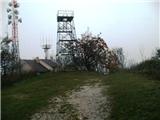 34
34
Discussion about the trail Prigorec - Ivanščica (Prekrižje)