Prigorec - Ivanščica (Pionir)
Starting point: Prigorec (396 m)
Name of path: Pionir
Time of walking: 1 h 50 min
Difficulty: partly demanding unmarked way
Altitude difference: 665 m
Altitude difference po putu: 680 m
Map:
Recommended equipment (summer):
Recommended equipment (winter): crampons
Views: 1.260
 | 1 person likes this post |
Access to the starting point:
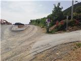
a) You arrive in Croatia via Border crossing Gruškovje / Macelj. Leave the motorway at the first exit and go in the direction of Varaždin. Along the way there are Trakoščan, Bednja, Lepoglava and you reach Ivanec. In Ivanec, at the traffic light junction, turn right south (now the top of Ivanščice is right in front of us) and just keep going. The path begins to climb and leads to the village of Prigorec. There are a few parking places along the way, but they are often occupied; the best choice is to drive to the top of Prigorec village, where there is a huge parking lot.
b) From Prekmurje via Border crossing Petišovci / Murska Stredoce we arrive in Croatia and continue driving through Čakovec and Varaždin, where we will turn in the direction of Ivanec. In Ivanec, at the traffic lights, turn left south and follow description a.
Path description:
From the parking area at the end of the village of Prigorec, continue eastwards. You will quickly reach a crossroads where the path for the ski resort and the Šumi stream branches off to the left, and we go right. After a few steps, you will reach a signpost which leads you eastwards through gently sloping meadows to the start of the Pionir trail.
The path ahead is initially quite steep and in the first part passes through the forest and along the roots, but higher up it lays down and leads us to the ridge. There is a short folded section, and then we start climbing steeply again, on a rockier path.
The path ahead leads to a slightly more difficult part where you can, but do not have to, use your hands to help you progress. At the top of the more difficult part, we will be rewarded with a beautiful view towards the summit of Konj and to the north.
There is some level ground after which the path becomes challenging again, where the path splits and then rejoins a little further on. Higher up, the view is once again magnificent and the path becomes easier, but still very steep. Then we walk through the forest, and soon we reach the top of Legesičina, where the steepness finally eases.
Here the path turns from south to west, gradually widening into a wide cart track, which we leave in a belt of mixed forest. The path ahead is again rockier and soon merges with the Prekrižje path.
Exit the forest on a former ski slope and after a short climb you are at the mountain hut, which is only a minute away from the summit.
The path has not been marked for many years, and there are still some old markings along the way, but
the path is not difficult to navigate as it is very well trodden.

Pictures:
 1
1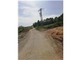 2
2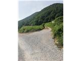 3
3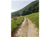 4
4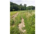 5
5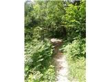 6
6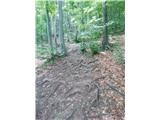 7
7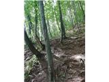 8
8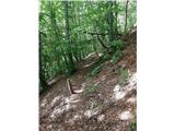 9
9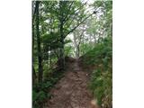 10
10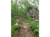 11
11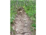 12
12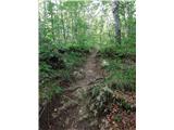 13
13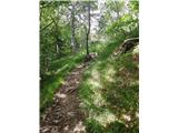 14
14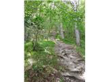 15
15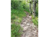 16
16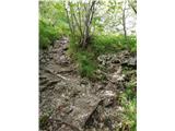 17
17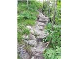 18
18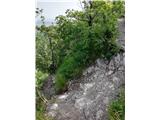 19
19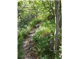 20
20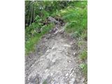 21
21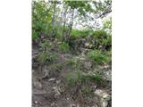 22
22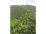 23
23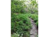 24
24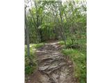 25
25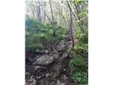 26
26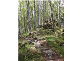 27
27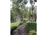 28
28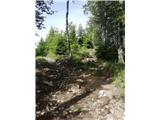 29
29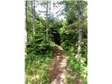 30
30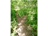 31
31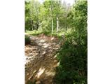 32
32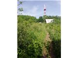 33
33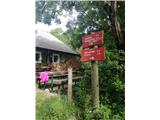 34
34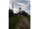 35
35
Discussion about the trail Prigorec - Ivanščica (Pionir)