Lokva Dernečište - Maglić
Starting point: Lokva Dernečište (1640 m)
Time of walking: 2 h 45 min
Difficulty: partly demanding marked way
Altitude difference: 746 m
Altitude difference po putu: 746 m
Map: Montenegro NP Durmitor, Piva BiH NP Sutjeska, 1:50.000
Recommended equipment (summer):
Recommended equipment (winter): ice axe, crampons
Views: 9.821
 | 2 people like this post |
Access to the starting point:
From Sarajevo, drive towards Foca and just before it turn off for Gacko and Tjentište (right-hand road). At the beginning of Tjentište, take a sharp left at the abandoned "Energopetrol" petrol station. On a bad asphalt road you soon reach a roadblock where you have to pay the entrance fee for the Sutjeska National Park. Continue on the dirt road, ignoring the minor left and right turns. After 7 km it becomes asphalted for a short time, this is Dragoš saddle with monuments to fallen partisan heroes and a path to the viewpoint of Skakavac waterfall (5 min). After 5 km we reach a clearing with a signpost where we park.
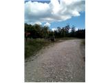
Path description:
From the parking lot, cross the road you came in on the forest path. There is also a signpost pointing the way. At the beginning of the trail there are several different markings, follow the red ones with the white dot (classic). After about 50 m, follow the markings to the right into the forest. The trail may be poorly visible at first, but it is well marked. After about 30 minutes, you will emerge from the forest onto a clearing. Past the pine bushes the path heads south. After about 1:30 to 2:00 hours' walk from the starting point, the trail veers off to the right and starts to climb. The path is steep and there are cable cars. At the top of the ridge, follow the slanting path to the right, the top of Maglić is already visible. Just before the summit, there is a short climb, and then we are at the top.
Pictures:
 1
1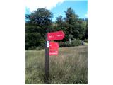 2
2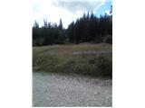 3
3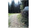 4
4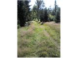 5
5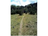 6
6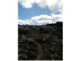 7
7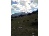 8
8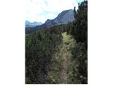 9
9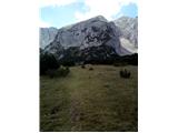 10
10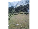 11
11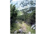 12
12 13
13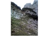 14
14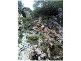 15
15 16
16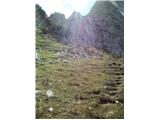 17
17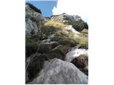 18
18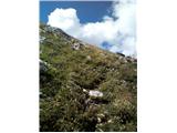 19
19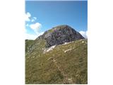 20
20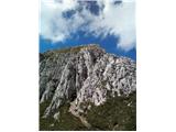 21
21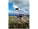 22
22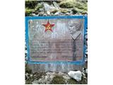 23
23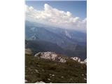 24
24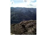 25
25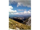 26
26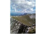 27
27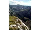 28
28
Discussion about the trail Lokva Dernečište - Maglić
|
| Lunca23. 08. 2021 11:59:11 |
Pozdravljeni, je sel kdo po tej poti v zadnjem casu?
|
|
|
|
| felix3. 08. 2022 15:23:46 |
Zanima me, če je cesta do izhodišča prevozna s kombijem. Hvala in lep pozdrav.
|
|
|
|
| felix31. 08. 2022 19:41:02 |
Z vikend obiskali to pot na Maglič. Cesta do izhodišča je zelo slaba. Čas v tem opisu je nerealen za povprečnega pohodnika. Na izhodišču je tudi nova tabla - predviden čas hoje 4 ure. Pot tudi ni tako enostavna, jaz bi jo opredelil kot zahtevna pot. Razgledi z vrha pa enkratni.
|
|
|