Planina Blato - Planina Ovčarija (via planina Viševnik)
Starting point: Planina Blato (1147 m)
| Lat/Lon: | 46,3113°N 13,8501°E |
| |
Name of path: via planina Viševnik
Time of walking: 2 h 20 min
Difficulty: easy marked way
Altitude difference: 513 m
Altitude difference po putu: 580 m
Map: TNP 1:50.000
Recommended equipment (summer):
Recommended equipment (winter): ice axe, crampons
Views: 828
 | 1 person likes this post |
Access to the starting point:
From mountain pasture Ribčev Laz continue slightly right (left Vogar, slightly left XX7XX, straight down XX8XX) on the path in the direction of mountain pasture Ovčarije and Triglav Lakes. The path ahead first climbs steeply to the left across a steeper slope, then gradually flattens out and leads into a flatter world. The route continues south-west of Griva (1758 m) for some time without any major changes in altitude. A little further on, more precisely at the direction signs, an unmarked path continues in a straight direction towards mountain pasture Dedno polje, and we continue sharp left in the direction of mountain pasture Ovčarije. From the direction signs the path descends slightly, then turns right and continues for some time along a sort of contour or sink. On the other side of the conte the path begins to climb moderately again, then it lays down and leads to the shepherds' tents at mountain pasture Ovčarija.
XX9XX - Mountain pasture at Jezero 1:00, Mountain pasture at Jezero - Mountain pasture Ribčev Laz 0:30, Mountain pasture Ribčev Laz - XX14XX 0:50.
Path description:
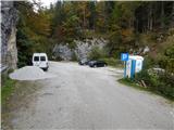
From the marked parking lot, retrace your steps back along the road and then follow the ascending cart track in the direction of mountain pasture at Jezero, mountain pasture at Lazo and mountain pasture at Dedno polje. The path along cart track climbs quite steeply at first and after about 10 minutes leads to a marked crossroads where you continue along the left-hand, upper cart track (straight ahead mountain pasture at Lazo and a steep path up to mountain pasture at Jezero).
After less than 5 minutes of further ascent, at a right turn, a path with mountain pasture Vogar joins us from the left, and we continue to the right in the direction of mountain pasture at Jezero. We continue up the slightly less steep cart track, which lays completely flat for a short time, then climbs more steeply and leads us through an artificial "gorge". After the 'narrows', the cart track is laid down again, and the abovementioned steep path joins us from the right behind two benches. After the crossroads, the path turns left and leads to a pasture fence, beyond which you enter a small valley where the cold air usually stays. The path ahead gradually becomes steeper again, and then, as it flattens out, turns right. A little further on, a path joins us from the left, leading over or past mountain pasture Vodični vrh.
From this crossroads onwards, the forest begins to thin out, but when we finally step out of the forest, we are already at mountain pasture near Jezero, where we are only a few 10 steps of easy walking away from the nearby mountain hut.
From the hut, continue left downhill (slightly right mountain pasture in Laz and Vodnikov dom) and descend to the shepherd's huts, where the next marked crossroads are.
From the crossroads continue left up a less distinct path in the direction of mountain pasture Viševnik (straight on cart track mountain pasture Dedno polje and mountain pasture Viševnik past Krištofojce), which climbs above mountain pasture and then passes into forest. Through the forest, the ascent continues steeply for some time, and then the path gradually levels off. The ascents and descents alternate, and when we leave the forest, the path past Krištofojce joins us on the right. From this crossroads there is a short climb to the saddle, and Bregar's shelter at mountain pasture Viševnik is only a few steps further.
From mountain pasture Viševnik continue slightly right (left Vogar, slightly left Pršivec, straight down Črno jezero) on the path in the direction of mountain pasture Ovčarije and Triglav Lakes. The path ahead first climbs steeply to the left across a steeper slope, then gradually flattens out and leads into a flatter world. The route continues south-west of Griva (1758 m) for some time without any major changes in altitude. A little further on, more precisely at the direction signs, an unmarked path continues in a straight direction towards mountain pasture Dedno polje, and we continue sharp left in the direction of mountain pasture Ovčarije. From the direction signs the path descends slightly, then turns right and continues for some time along a sort of contour or sink. On the other side of the conte the path begins to climb moderately again, then it lays down and leads to the shepherds' tents at mountain pasture Ovčarija.
Planina Blato - Mountain pasture at Jezero 1:00, Mountain pasture at Jezero - Mountain pasture Viševnik 0:30, Mountain pasture Viševnik - Planina Ovčarija 0:50.

Pictures:
 1
1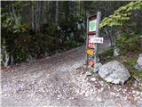 2
2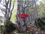 3
3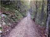 4
4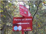 5
5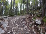 6
6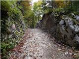 7
7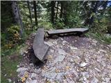 8
8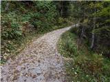 9
9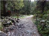 10
10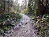 11
11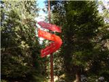 12
12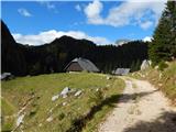 13
13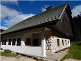 14
14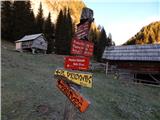 15
15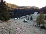 16
16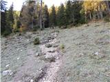 17
17 18
18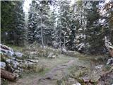 19
19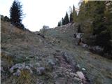 20
20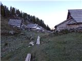 21
21 22
22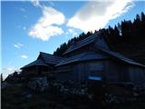 23
23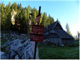 24
24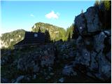 25
25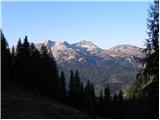 26
26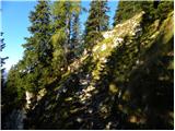 27
27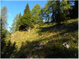 28
28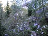 29
29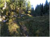 30
30 31
31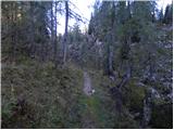 32
32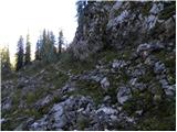 33
33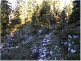 34
34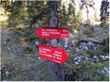 35
35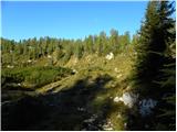 36
36 37
37 38
38 39
39 40
40 41
41 42
42
Discussion about the trail Planina Blato - Planina Ovčarija (via planina Viševnik)