Pri Rosu - Koča pri Peričniku (by road)
Starting point: Pri Rosu (685 m)
| Lat/Lon: | 46,449°N 13,9243°E |
| |
Name of path: by road
Time of walking: 40 min
Difficulty: easy marked way
Altitude difference: 65 m
Altitude difference po putu: 65 m
Map: Kranjska Gora 1:30.000
Recommended equipment (summer):
Recommended equipment (winter):
Views: 4.557
 | 1 person likes this post |
Access to the starting point:
Leave the Gorenjska motorway at exit Jesenice - West, then continue in the direction of Kranjska Gora. Just before the village of Dovje, the road to the left turns off, leading to Mojstrana and the Krma, Kot and Vrata valleys. Follow the road at the junctions towards the Vrata valley, and follow it to the Pri Rosu parking lot.
Path description:
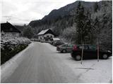
At the end of the parking lot, there are a number of signs, and the route immediately splits into two parts. We continue straight ahead (left along the Triglav Bistrica Trail) and continue along the road, which soon turns left over a bridge onto another trail to the Triglav Bistrica Trail. Here again, continue along the road, which ascends moderately through the forest to Koča pri Peričniku, which is reached after a walk of just under 40 minutes from the starting point.
Pictures:
 1
1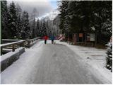 2
2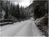 3
3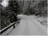 4
4 5
5 6
6 7
7 8
8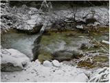 9
9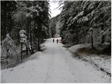 10
10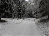 11
11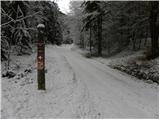 12
12 13
13 14
14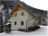 15
15 16
16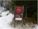 17
17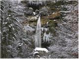 18
18
Discussion about the trail Pri Rosu - Koča pri Peričniku (by road)
|
| Filip_Zagreb5. 12. 2015 |
Zna li netko je li koča pri Peričniku odprta? In je li možno prenočevanje?
|
|
|
|
| Jusk15. 11. 2019 |
Popoldanski deževni pohod iz Mojstrane mimo planine Višek do plaza Črlovec,nazaj pa po tej poti po cesti. Dež je padal brez prestanka,pot je temu primerna 
|
|
|