Rateče - Dom na Tromeji (footpath)
Starting point: Rateče (865 m)
| Lat/Lon: | 46,4963°N 13,7192°E |
| |
Name of path: footpath
Time of walking: 55 min
Difficulty: easy marked way
Altitude difference: 280 m
Altitude difference po putu: 300 m
Map: Kranjska Gora 1:30.000
Recommended equipment (summer):
Recommended equipment (winter):
Views: 11.973
 | 1 person likes this post |
Access to the starting point:
First we drive to Kranjska Gora, then we continue driving to Ratečeam. At the junction where the road to Planica turns left and continues straight on towards Itali, turn right and drive into the centre of Rateč, where you can park in a suitable place.
Path description:
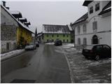
From the centre of Rateče, take the road towards Tromeje. The road, which at first climbs only gently, leads us through a compacted settlement, then leads to a small crossroads where we continue left in the direction of Tromeje (right dead end). The road then leads us past a few more houses, and we quickly arrive at the next crossroads, where we continue to the right. Here the road leads us past the yard of a nearby house, and the road above it turns into a forest and turns into a slightly steeper footpath. Climb through the forest for a while and then you will reach a forest road leading from Rateče towards Tromeja.
We continue on the road, which becomes steeper, and we follow it for some time as we climb through the forest. At a higher level, we cross a hay meadow, and the trail returns to the forest and leads to a marked crossroads. Here we continue to the right (straight ahead Ofen - Tromeja) and after 3 minutes of further walking we arrive at the Doma na Tromeeji (Home on Tromeja), following a road that begins to descend gently.

Pictures:
 1
1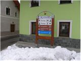 2
2 3
3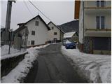 4
4 5
5 6
6 7
7 8
8 9
9 10
10 11
11 12
12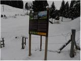 13
13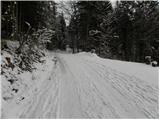 14
14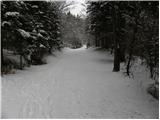 15
15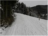 16
16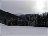 17
17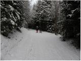 18
18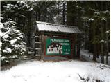 19
19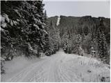 20
20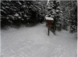 21
21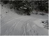 22
22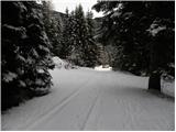 23
23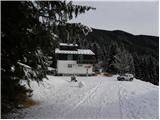 24
24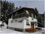 25
25 26
26
Discussion about the trail Rateče - Dom na Tromeji (footpath)