Ravenska Kočna - Goli vrh (austrian way)
Starting point: Ravenska Kočna (1000 m)
| Lat/Lon: | 46,3847°N 14,5364°E |
| |
Name of path: austrian way
Time of walking: 2 h 30 min
Difficulty: easy marked way
Altitude difference: 787 m
Altitude difference po putu: 800 m
Map: Kamniške in Savinjske Alpe 1:50.000
Recommended equipment (summer):
Recommended equipment (winter): ice axe, crampons
Views: 19.188
 | 3 people like this post |
Access to the starting point:
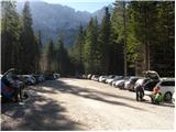
From the Gorenjska highway, Kranj or Preddvor, take Zgornje Jezersko, then about 1 km after the Petrol station, turn right in the direction of Planšarski jezero and Češka cottage. Continue past the lake, then the road leads through a large meadow, where the asphalt ends and a beautiful view of the surrounding mountains opens up, and then the road returns to the forest, where it first crosses a torrent. A little further on, the road splits and we continue along the right-hand road (on the left the Davo Karničar Mountain Centre and also the footpath to Jenkova planina and the former starting point for the above-mentioned mountain pasture), which quickly leads to a large marked parking area, where we park.
Path description:
Somewhere in the middle of the large parking lot, a passageway opens to the left, along which there are mountain signs for Velika Babo, Goli vrh and a sign for the hunting trail to Ledine. The trail starts following cart track, which leads us to the edge of the meadow, where we will see the Gorniški centar on the left. We continue straight on to the clearly visible signs at the nearby crossroads, from which we continue straight on in the direction of Velika Babe and Goli vrh (to the right Ledine). The way ahead still leads us along cart track, which soon turns left, and then climbs crosswise. Higher up, the path from the old starting point, or the marked path from Planšarski jezero, joins us from the left. The cart track then turns into a footpath which climbs relatively steeply through the forest. After about an hour and a half of walking, you emerge from the forest onto the abandoned and rather overgrown Jenkova planina, where there is also a crossroads.
Continue straight on (left Goli vrh - Slovenian trail, right Velika Baba) to the "signpost" (after Slovenia's entry into Schengen, only a metal pole remains) marking the border crossing. At the post, you will see a small wooden hut on your left, just a few steps walk away.
Near the hut at Jenkova planina, you will see an Austrian direction sign with the inscription "Goli 615", which directs you to the initially winding footpath. After a few steps, the path goes into the forest, where it crosses some steep and, in the wet, slippery slopes in a barely significant ascent. A little further on, the path passes to the indistinct eastern ridge Goli vrh, where it starts to climb steeply. Higher up, the trail gradually moves out of the forest and onto the increasingly scenic slopes of Goleg vrh. Just when we think we have only a few steps to the summit, a view opens up of the "main" summit, which is still less than a 5-minute walk away.

Pictures:
 1
1 2
2 3
3 4
4 5
5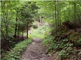 6
6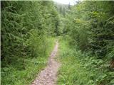 7
7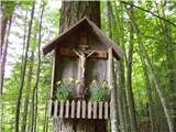 8
8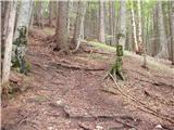 9
9 10
10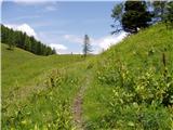 11
11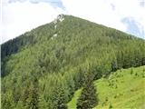 12
12 13
13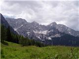 14
14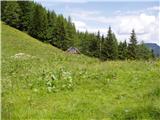 15
15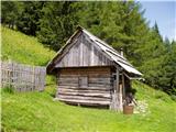 16
16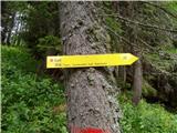 17
17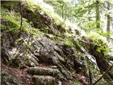 18
18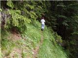 19
19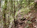 20
20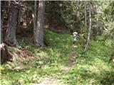 21
21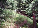 22
22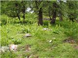 23
23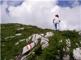 24
24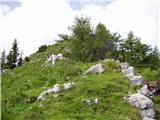 25
25 26
26 27
27
Discussion about the trail Ravenska Kočna - Goli vrh (austrian way)
|
| Guest27. 01. 2008 |
Mi smo hodili na vrh 3 ure, saj je bilo snega kar precej in ker je bil južen, se je udiralo. Na vrhu je danes močno pihalo, razgled pa je bil dober. Poleg nas štirih nismo srečali nobene žive duše. Vračali pa smo se po slovenski poti, ki je bila uhojena in ponekod ledena.
|
|
|
|
| Tary18. 05. 2013 |
Danes smo naredili to turo. Po avstrijski poti je kar nekaj podrtih dreves čez pot. Ni tako lepo urejena kot slovenska, ampak kljub temu zanimiva. 
|
|
|
|
| gorskarozica10. 12. 2016 |
Izgubljena ženska ročna ura, 10. 12. 2016 na Golem vrhu. Če bi jo kdo našel, prosim, da me pokliče na tel. 031 774 081. Hvala!
|
|
|
|
| anica.zu@gmail.com20. 08. 2019 |
Je šel kdo v zadnjem času gor? Obstaja mogoče kakšen novejši opis za to pot?
|
|
|
|
| jana196620. 08. 2019 |
Pot ni kaj dosti spremenjena,le da je na Jenkovi planini trava tako visoka,da se koča iz poti ne vidi ,od tam naprej pa je ostalo kar nekaj podrtih dreves ob poti naprej proti vrhu ,preverjeno v nedeljo.Razgled vse povrne,pa lep izlet.
|
|
|