Rifugio Dibona - Tre Dita (via Rifugio Giussani)
Starting point: Rifugio Dibona (2083 m)
| Lat/Lon: | 46,5326°N 12,0703°E |
| |
Name of path: via Rifugio Giussani
Time of walking: 2 h 30 min
Difficulty: partly demanding marked way
Altitude difference: 611 m
Altitude difference po putu: 625 m
Map: Tabacco 03 1:25.000
Recommended equipment (summer):
Recommended equipment (winter): ice axe, crampons
Views: 5.759
 | 1 person likes this post |
Access to the starting point:
First, drive to Cortina d'Ampezzo (you can get here via Border crossing Rateče or Predel to Trbiž / Tarvisio and then take the motorway towards Udine to the Tolmezzo exit. From Tolmezzo, follow the road towards Ampezzo and the Passo della Mauria mountain pass. The road then descends and leads to a crossroads where you turn left (possibly right) towards Cortina d'Ampezzo. At all subsequent junctions, follow the signs for Cortina d'Ampezzo. Or from the Primorska side, take the motorway towards Trieste. Continue on the Italian motorway towards Padua, but only as far as the motorway junction where you continue towards Veneto and Belluno. Near Belluno, the motorway ends and we continue towards Cortina d'Ampezzo at the next junctions and then follow the signs for the Passo di Falzarego Alpine pass. We then follow this ascending road to where a road forks off to the right in the direction of the rifugio Dibona hut (the fork is at about 1700m). The rather ruined and initially tarmac road leads us higher up to a junction where we continue on the lower left road (Duca d'Aosta hut on the right) and follow it to the parking lot behind the Dibona hut.
Path description:
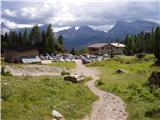
From the parking lot, continue along the dirt road past the gate. Follow this road to a marked junction, where you turn right onto a wide mulatier marked "Rif. Camillo Giussani". The wide path then climbs slowly and is joined at a left-hand bend by the path from hut Rifugio Pomedes, and a little later by path 404 on the left, which crosses the slopes below the south face of Tofana di Rozes. The Mulatiera then continues to climb up the increasingly steep slope between Tofana di Rozes and Tofano di Mezzo. Soon you reach the abandoned Cantore hut. There is a short climb along the funicular and we are at the Rifugio Giussani.
From the hut we continue westwards and after a short climb over scree we reach a less visible crossroads. The path to the left leads up to the Tofana di Rozes summit, while we turn right and after crossing the scree to the west we soon reach Tre Dita.
Pictures:
 1
1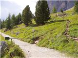 2
2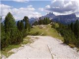 3
3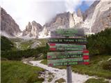 4
4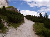 5
5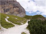 6
6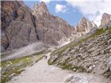 7
7 8
8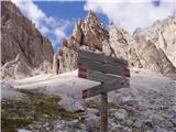 9
9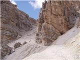 10
10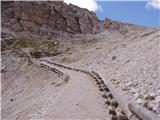 11
11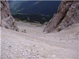 12
12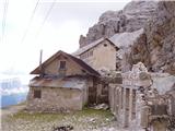 13
13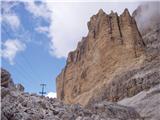 14
14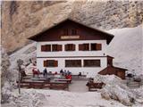 15
15 16
16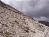 17
17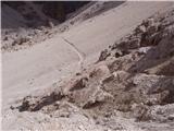 18
18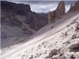 19
19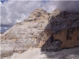 20
20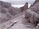 21
21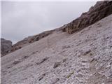 22
22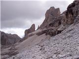 23
23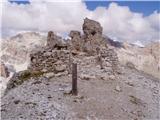 24
24
Discussion about the trail Rifugio Dibona - Tre Dita (via Rifugio Giussani)
|
| VanSims20. 07. 2010 |
Torej tisto razpotje je res slabše vidno a dobro označeno!
Že od Rifugia Giussanija nas spremljata dve markaciji: rdeča in modra! Že to nam da nekako slutiti da sta zaznamovani dve poti. Tik pred razpotjem sta na skali napisa FERRATA in VETTA. Potem vidimo da modre pike zavijejo navzgor(Tofana di Rozes), rdeče pa desno(Tre Dita)
|
|
|
|
| VanSims20. 07. 2010 |
Cesta do Rifugia Dibona je sedaj frišno asfaltirana  ampak vendar le spet samo do križišča.  Naprej je še vedno makadam. Matr pa tudi na tistem asfaltu se komi srečaš... 
|
|
|