Rogla (Hotel Planja) - Jezerski vrh
Starting point: Rogla (Hotel Planja) (1474 m)
| Lat/Lon: | 46,4526°N 15,331°E |
| |
Time of walking: 3 h 5 min
Difficulty: easy marked way
Altitude difference: 63 m
Altitude difference po putu: 385 m
Map: Pohorje 1:50.000
Recommended equipment (summer):
Recommended equipment (winter): ice axe, crampons
Views: 269
 | 1 person likes this post |
Access to the starting point:
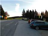
a) From the Ljubljana - Maribor motorway, take the Slovenske Konjice exit and continue driving towards the above-mentioned place. From Slovenske Konjice continue towards Zreče, and we continue along the road in the direction of Roga. When we arrive at Rogla, we park in a large parking lot near the Planja Hotel.
b) First we drive to Lovrenc na Pohorju (to get here from the road Maribor - Dravograd), then we continue driving towards Rogla and Koča na Pesku. The dirt road then leads first to Mašinžaga and then to Koča na Pesku. From Koča na Pesku, continue on the asphalt road, which then leads up to a large parking lot near the Planja Hotel.
Path description:
From the parking lot, walk to the mountain direction signs located by the Planja pizzeria, and then follow the path in the direction of Lovrenška jezera, Sedla Komisija and Ostruščica. At first, descend slightly along the four-seater Planja, and when you reach a narrower asphalt path, follow it to the left for a short distance, and then the signs for Lovrenška jezera direct you to the right to a larger pasture. This is followed by a climb up a gentle grassy slope, and higher up the meadow is replaced by a sparse forest and we arrive at the top slopes of Ostruščica.
From Ostruščice, follow cart track down to the Komisija saddle, where the trail splits.
Continue slightly left in the direction of Lovrenška jezera and Ribniška koča (slightly right Lovrenška jezera and Ribniška koča - the eastern path) and continue through the forest, then the forest begins to thin and in a slight ascent you arrive on the viewing slopes, from which a beautiful view opens up towards Karawanks and the Kamniško Savinjski Alps. The trail then returns to the forest and continues without any major changes in altitude, and after a while leads to a marked crossroads.
From the marked crossroads, continue straight ahead in the direction of Lovrenc na Pohorju and Ribniška koča (right Lovrenška jezera - 10 minutes and Rogla along the eastern path). Then cross the slopes below the plateau Lovrenška jezera, where the path crosses a few streams, and then the slope becomes a viewpoint and you arrive at the crossroads at Planinka.
Here we continue straight on (to the right Lovrenc to Pohorje), and the path leads us along beautiful views of Pohorje and Kamnik Savinja Alps and Karawanks in the distance, and to the right we also get a nice view towards Golica / Koralpe. After a few minutes of descending through the vast meadow of Planinka, the path enters the forest and then descends a little more steeply. At a lower altitude, you will pass a small well, after which you will reach the Šiklarica preval, located at 1300 m above sea level.
From the pass, gradually start to climb, following the signs at the crossroads. A little higher up, a short trail (2 minutes) branches off to the right to the sign of the two downed airmen. Continue climbing through the forest, but higher up the forest starts to thin out and you reach the next crossroads, located a few minutes below Jezerc vrh.
Go straight ahead here (right Ribniško jezero 3 minutes) and climb to the nearby Jezerski vrh, which offers a fine view.
Description and figures refer to the situation in October 2022.

Pictures:
 1
1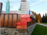 2
2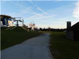 3
3 4
4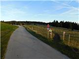 5
5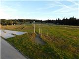 6
6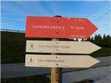 7
7 8
8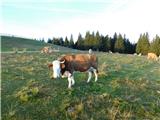 9
9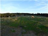 10
10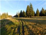 11
11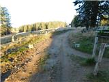 12
12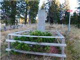 13
13 14
14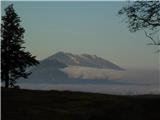 15
15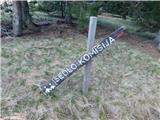 16
16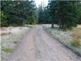 17
17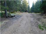 18
18 19
19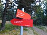 20
20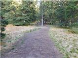 21
21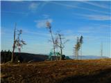 22
22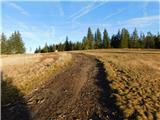 23
23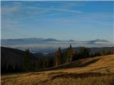 24
24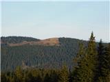 25
25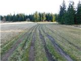 26
26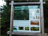 27
27 28
28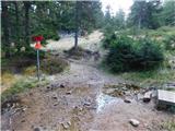 29
29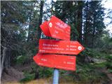 30
30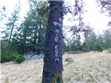 31
31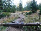 32
32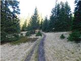 33
33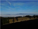 34
34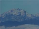 35
35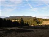 36
36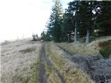 37
37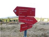 38
38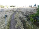 39
39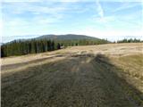 40
40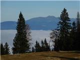 41
41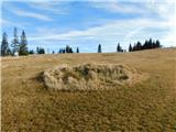 42
42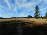 43
43 44
44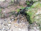 45
45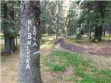 46
46 47
47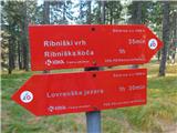 48
48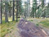 49
49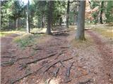 50
50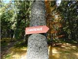 51
51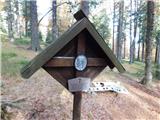 52
52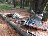 53
53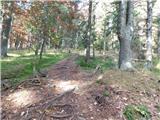 54
54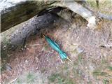 55
55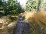 56
56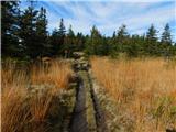 57
57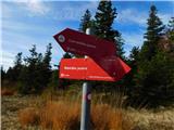 58
58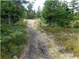 59
59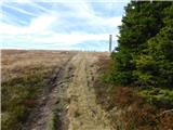 60
60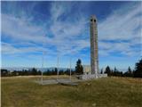 61
61 62
62
Discussion about the trail Rogla (Hotel Planja) - Jezerski vrh