Ainos National park - Ainos (Kefalonia)
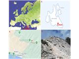
Starting point: Ainos National park (1600 m)
| Lat/Lon: | 38,13968°N 20,66002°E |
| |
Time of walking: 30 min
Difficulty: easy marked way
Altitude difference: 28 m
Altitude difference po putu: 105 m
Map: Kefalonia - Ithaca 1:70000
Recommended equipment (summer):
Recommended equipment (winter):
Views: 309
 | 1 person likes this post |
Access to the starting point:
On the Greek island of Kefalonia, at the highest point of the regional road between the towns of Argostoli and Sami, and exactly halfway in terms of distance, a road branches off towards Ainos National Park. Along this wide and beautiful road, you will drive for another 15 kilometers, passing by the observatory, until you enter the park (the barriers are lifted during daytime, and entry is free). You can park your vehicle at the end of the paved road near the radio tower (there is no parking fee, which is the norm throughout Kefalonia).
Path description:
The narrow unpaved road continues towards Mount Ainos. The road loses 75 meters in elevation. Then, on the right side of the road, a footpath branches off (approximately 30 meters away, another trail from the village of Digaleto also joins the road), leading to the summit of the mountain.
The description and pictures are from June 2023.
Pictures:
 1
1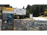 2
2 3
3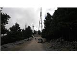 4
4 5
5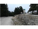 6
6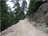 7
7 8
8 9
9 10
10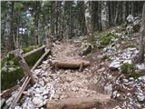 11
11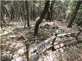 12
12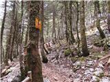 13
13 14
14 15
15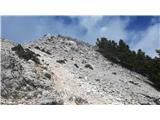 16
16 17
17 18
18 19
19
Discussion about the trail Ainos National park - Ainos (Kefalonia)