Aljažev dom v Vratih - Glava v Zaplanji (via Plemenice)
Starting point: Aljažev dom v Vratih (1015 m)
| Lat/Lon: | 46,4128°N 13,8466°E |
| |
Name of path: via Plemenice
Time of walking: 5 h 30 min
Difficulty: very difficult marked way, easy unmarked way
Altitude difference: 1541 m
Altitude difference po putu: 1541 m
Map: Triglav 1 : 25.000
Recommended equipment (summer): helmet, self belay set
Recommended equipment (winter): helmet, self belay set, ice axe, crampons
Views: 9.646
 | 3 people like this post |
Access to the starting point:
Gorenjsko avtocesto zapustimo na izvozu Hrušica in cesti naprej sledimo v smeri Kranjske Gore. Le malo pred vasjo Dovje pa se z glavne ceste v levo odcepi cesta, ki pelje v Mojstrana (Vrata, Kot in Krma). Cesti naprej sledimo v smeri doline Vrata in se po njej peljemo do velikega parkirišča v bližini Aljaževega doma.
Path description:
From the parking lot, continue along the macadam road, which after a 3-minute walk leads to the crossroads at Aljaževem dom. Continue straight ahead in the direction of Triglav, Luknja and Pogačnik's home (right Škrlatica) along the wide path that goes behind the chapel (on the right) and Aljaž's home (on the left) into the lane of a forest. A wide tourist-walking path leads us past the winter bivouac out of the forest, where we see the famous wedge in front of us (a monument dedicated to the fallen partisan mountaineers). Continue straight ahead (Tominškova cesta on the left) along the path which returns to the forest and leads us to the next crossroads, where we continue straight ahead (Stenar, Pogačnikov dom on the right) until we reach the next crossroads (Stenar, Pogačnikov dom on the right). The path continues to climb along the torrent and soon leads to a crossroads where we continue straight on in the direction of Luknja (left the path over the Prag). The path continues through a short lane of scrub and then passes under the scree of the surrounding cliffs. Here a path branches off to the right to the bivouac below Luknja (5 minutes), and we continue straight ahead on an increasingly steep path. In the last few metres below Luknja, the path climbs even steeper and leads us to the border with Primorska. Here we have a beautiful view of the mountains above the Soča valley.
Continue left in the direction Triglav over Plemenice (straight down Zadnjica, right Bovški Gamsovec). After a few steps the path climbs up the wall almost vertically. Put on your helmet before entering the climbing part of the route. In the initial part of the helmet fixed safety gear are helpful, but they are sparsely measured in the upper part. Once you have climbed the initial wall, the route is laid, which does not mean that the problems are over. From here on fixed safety gear is almost non-existent and occasionally we walk on the path over a deep chasm. In the wet there is a high risk of slipping! The problems then slowly ease and the path leads us to the famous Sphinx (the steepest pillar in the Triglav region), but to see it you have to step a little way off the marked path. The way forward leads to the West Triglav plateau, where there is a crossroads. Here we continue to the right (left Triglav, slightly right Dolič) along an unmarked path which, after a further 10 minutes' walk, leads us to Morbegna. From Morbegna to the top we have only two minutes to climb up the top slope of Glave in Zaplanja.

Pictures:
 1
1 2
2 3
3 4
4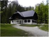 5
5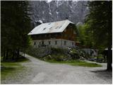 6
6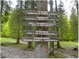 7
7 8
8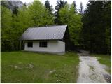 9
9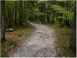 10
10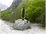 11
11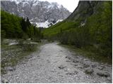 12
12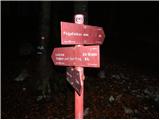 13
13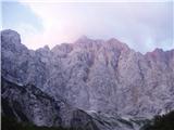 14
14 15
15 16
16 17
17 18
18 19
19 20
20 21
21 22
22 23
23 24
24 25
25 26
26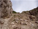 27
27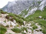 28
28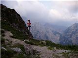 29
29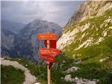 30
30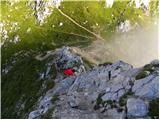 31
31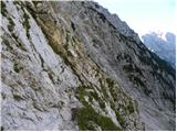 32
32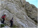 33
33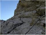 34
34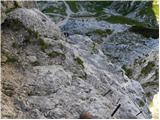 35
35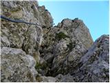 36
36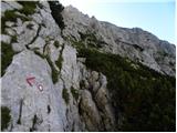 37
37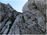 38
38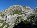 39
39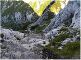 40
40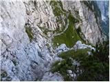 41
41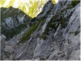 42
42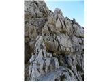 43
43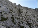 44
44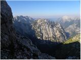 45
45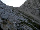 46
46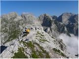 47
47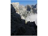 48
48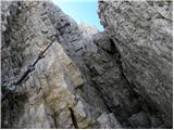 49
49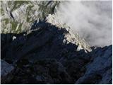 50
50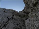 51
51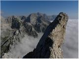 52
52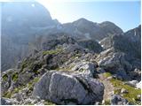 53
53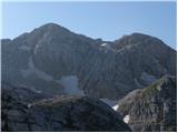 54
54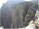 55
55 56
56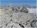 57
57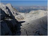 58
58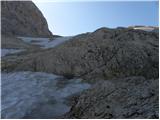 59
59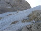 60
60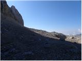 61
61 62
62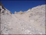 63
63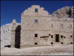 64
64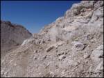 65
65 66
66
Discussion about the trail Aljažev dom v Vratih - Glava v Zaplanji (via Plemenice)
|
| ben12. 02. 2009 |
Saj je vse lepo in prav, ampak od kdaj je pot čez Plemenice zelo zahtevna NEOZNAČENA steza?  Da pa hodiš točno 5 ur in 32 minut... 
|
|
|
|
| Tadej12. 02. 2009 |
Do Morbegne je okviren čas 5 ur in 30 minut. Da pa do Glave v Zaplanji ni enako kot do Morbegne pa sta simbolično dodani 2 minuti.
Težavnost poti je res nekoliko nerodno napisana. Čez Plemenice gre za zelo zahtevno označeno pot, vzpon na Glavo v Zaplanji pa poteka po neoznačeni poti, ki pa tehnično ni zahtevna.
|
|
|