Aljažev dom v Vratih - Kucelj (Julian Alps)
Starting point: Aljažev dom v Vratih (1015 m)
| Lat/Lon: | 46,4128°N 13,8466°E |
| |
Time of walking: 4 h 45 min
Difficulty: easy pathless terrain, partly demanding marked way
Altitude difference: 1357 m
Altitude difference po putu: 1420 m
Map: Triglav 1:25.000
Recommended equipment (summer):
Recommended equipment (winter): ice axe, crampons
Views: 1.830
 | 4 people like this post |
Access to the starting point:
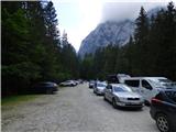
Leave the Gorenjska motorway at the Hrušica exit and follow the road towards Kranjska Gora. Just before the village of Dovje, the road branches off to the left and leads to Mojstrana (Vrata, Kot and Krma). Follow the road in the direction of the Vrata valley and follow it to the large parking lot near the Aljaž's home.
Path description:
From the parking lot, continue along the macadam road, which after a 3-minute walk leads to the crossroads at Aljaževem dom. Continue right in the direction of Škrlatica and Dolkova špica along the path which leads us across the meadow into the forest. Continue up the initially gently sloping cart track, which changes to a slightly steeper footpath higher up. Soon, however, the path leads to the bed of a torrent, along which it climbs for only a short distance, then turns right and climbs steeply through the forest. The path then turns to the left, where it crosses a short avalanche-prone slope, and then gradually passes onto the slopes below Stenar. The slopes continue to climb up the aforementioned slopes, which are lightly vegetated with dwarf pines and individual larch trees. Higher up, the path leads to a small crossroads, where we continue to the right in the direction of Škrlatica (to the left Stenar along an unmarked path via Stenarske vratace).
The way forward climbs for only a short time, then lays down and leads us to a larger crossroads where we continue right in the direction of Škrlatica (left bivouac 2 minutes and Križ 1:30).
The trail crosses a small scree slope and then turns sharp right. Continue on a slightly exposed slope (risk of slipping), after which you will reach the pastures below Dolkova spica. The path ahead slowly starts to descend, but only to the steeper part of the path. Here, in early summer, we also encounter a snowfield (caution). The path then starts to rise again and soon we reach cirque Last Dolek, located between Škrlatica and Dolkova spica.
Here we are at a crossroads where the path to Škrlatica branches off to the right. We continue to the left towards Križ and Pogačnik's home. From the crossroads, follow this path for only about ten metres, then leave the marked path and turn left onto the trackless road.
Here we start climbing up a slope which becomes partly covered with grass. After such a slope, you will soon reach a ridge where you continue left towards the summit. There is a slightly steeper climb up the rocky slope on the north side to the summit, where there is something called cairns.

Pictures:
 1
1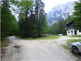 2
2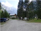 3
3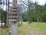 4
4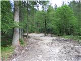 5
5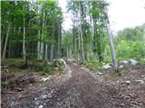 6
6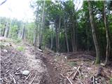 7
7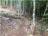 8
8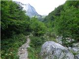 9
9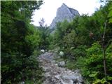 10
10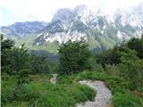 11
11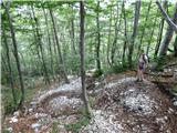 12
12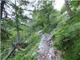 13
13 14
14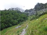 15
15 16
16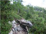 17
17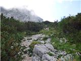 18
18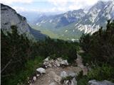 19
19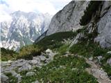 20
20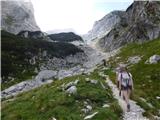 21
21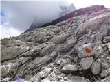 22
22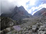 23
23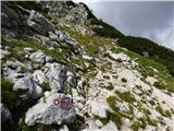 24
24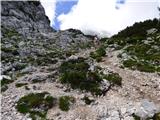 25
25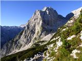 26
26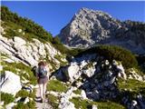 27
27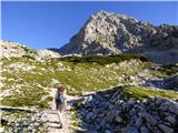 28
28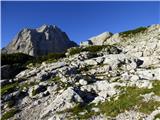 29
29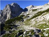 30
30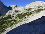 31
31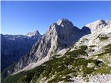 32
32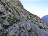 33
33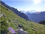 34
34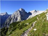 35
35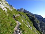 36
36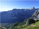 37
37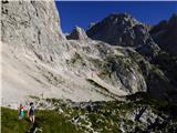 38
38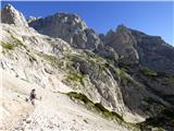 39
39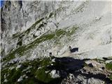 40
40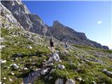 41
41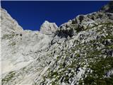 42
42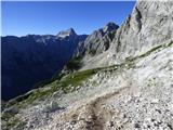 43
43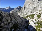 44
44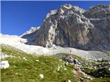 45
45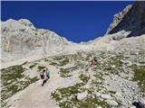 46
46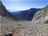 47
47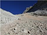 48
48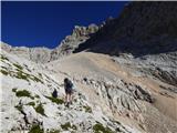 49
49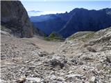 50
50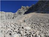 51
51 52
52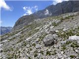 53
53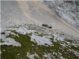 54
54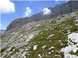 55
55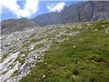 56
56 57
57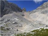 58
58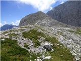 59
59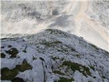 60
60 61
61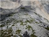 62
62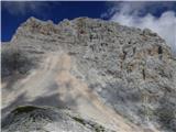 63
63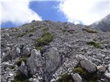 64
64 65
65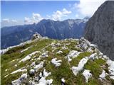 66
66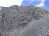 67
67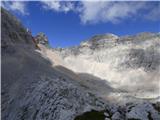 68
68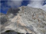 69
69
Discussion about the trail Aljažev dom v Vratih - Kucelj (Julian Alps)