Aljažev dom v Vratih - Rjavina (Tominšek route)
Starting point: Aljažev dom v Vratih (1015 m)
| Lat/Lon: | 46,4128°N 13,8466°E |
| |
Name of path: Tominšek route
Time of walking: 6 h
Difficulty: very difficult marked way
Altitude difference: 1517 m
Altitude difference po putu: 1700 m
Map: Triglav 1:25.000
Recommended equipment (summer): helmet, self belay set
Recommended equipment (winter): helmet, self belay set, ice axe, crampons
Views: 21.896
 | 2 people like this post |
Access to the starting point:
Leave the Gorenjska motorway at the Hrušica exit and follow the road towards Kranjska Gora. Just before the village of Dovje, the road branches off to the left and leads to Mojstrana (Vrata, Kot and Krma). Follow the road in the direction of the Vrata valley and follow it to the large parking lot near the Aljaž's home.
Path description:
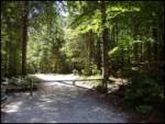
From the parking lot, continue along the macadam road, which after a 3-minute walk leads to the crossroads at Aljaževem dom. Continue straight ahead in the direction of Triglav, Luknja and Pogačnik's home (right Škrlatica) along the wide path that goes behind the chapel (on the right) and Aljaž's home (on the left) into the lane of a forest. The wide tourist-walking path leads us past the winter bivouac out of the forest, where we see the famous wedge (a monument dedicated to the fallen partisan mountaineers) in front of us. Here, the mountain marker for the Tominšek trail directs us to the left and leads us over lane of rubble into the forest. The well-worn path begins to climb upwards through the forest. As the path through the forest is quite steep in places, some steps have been placed on the path to make walking easier. After an hour and a half of walking, the forest becomes thinner and the path leads to the start of the climbing part of the trail. During the ascent of the climbing part, we are helped by the fixed safety gear, which are in good condition (restored in 2006). The path continues to become more and more vertiginous and rises steeply along the northern walls of the Begunj Peak. As the climbing part of the route is exposed to falling rocks, a helmet is a must! After a good three hours of walking, the steepness eases and the route joins the normal route over the Prag. Just a few steps further along the path, you will see a nice little spring where you can rest. The way forward soon leads us to the next crossroads, where we continue to the left in the direction of Staničev's home (Kredarica on the right). The way forward is through a karst world full of cracks and potholes (be careful). Higher up, the path crosses a shorter scree slope and then ascends to a plateau-like world where we can already see the home of Valentin Stanič in front of us, which is only a few 10 steps of easy walking away.
From Stanič's home, continue along the path in the direction of Krma and Rjavina. The path climbs moderately at first and then leads to the next crossroads, where we continue left in the direction of Rjavina (straight Krma). The path then descends slightly and leads us to the nondescript saddle Dovška vratca. From here on the path starts to climb steeply up the western slopes of Rjavina. With the help of some fixed safety gear, the path leads us to the ridge of Rjavina. There follows a scenic walk along the ridge to the western summit, then the path descends slightly and we are joined on the left by a climbing route from the Kot valley. We continue straight ahead and the increasingly scenic path leads us to a vertical chimney, which descends for about 30 m (protected only by rungs and crampons). The path, which becomes easier, then leads us past two natural windows to a scenic summit in a few minutes.
Vrata - Staničev dom 4:00, Staničev dom - Rjavina 2:00.

Pictures:
 1
1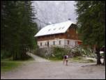 2
2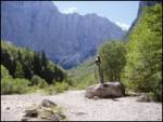 3
3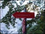 4
4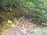 5
5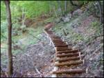 6
6 7
7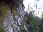 8
8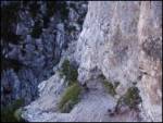 9
9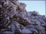 10
10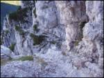 11
11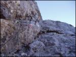 12
12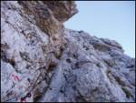 13
13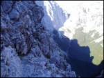 14
14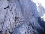 15
15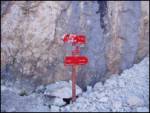 16
16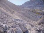 17
17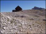 18
18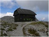 19
19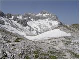 20
20 21
21 22
22 23
23 24
24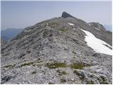 25
25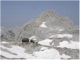 26
26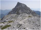 27
27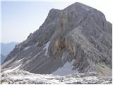 28
28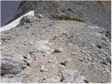 29
29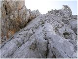 30
30 31
31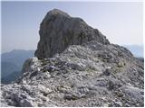 32
32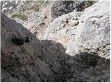 33
33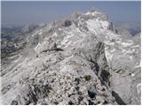 34
34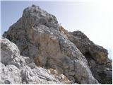 35
35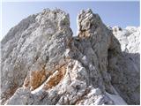 36
36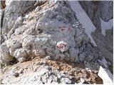 37
37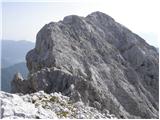 38
38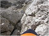 39
39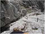 40
40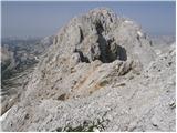 41
41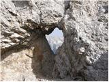 42
42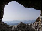 43
43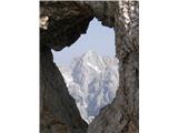 44
44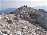 45
45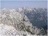 46
46
Discussion about the trail Aljažev dom v Vratih - Rjavina (Tominšek route)
|
| uhan117. 07. 2012 |
Zdravo
Vprašanje: Vrata-Tominškova-Cmir-Vrbanove špice-Rjavina-Stanič-Prag-Vrata... Ali je to izvedljivo v enem dnevu in če je smer pravilna - najprej na Vrbanove in nato na Rjavino in čez greben proti Staniču?
Če je že kdo hodil to, koliko časa je porabil?
Hvala
|
|
|
|
| bos17. 07. 2012 |
moj predlog je, da greš iz Kota direktno na Rjavino, po grebenu do Staniča, potem na Cmir ter da sestopiš čez Vrbanove špice nazaj v Kot
to je izvedljivo v enem dnevu, preverjeno če si seveda ustrezno pripravljen
|
|
|
|
| bos17. 07. 2012 |
potek tvoje ture je danes opravil "Ljubitelj gora"
poglej na razmere
|
|
|
|
| uhan118. 07. 2012 |
Hvala...
Ena ali druga varianta prideta v poštev. Sicer bomo nastanjeni v Vratih, zato bi od tam štartal. Lahko se pa zapeljemo v Kot in od tam naprej.
lp
|
|
|
|
| ljubitelj gora18. 07. 2012 |
Tole skakanje gor in dol čez vse te grebene je naporno za 1 dan, dost kondicije je treba imet in štartat zelo zgodaj. Raje pejd eno iz Kota čez Vrbanove špice do Staniča pa čez Rjavino nazaj v dolino ali pa obratno, kakor hočeš, druga pa iz Vrate po Tominškovi na Begunjski vrh, nato proti Cmiru in nazaj do Staniča ter čez Prag v dolino. Malo morje je možnosti, še najbolje je it kar iz Vrat pa si razdelit te vrhove na dva dni s spanjem v koči.
|
|
|
|
| bo_zl8. 08. 2018 |
Danes prehodil. Bi rekel da je Rjavina vrh ki te največkrat preseneti. Ko že misliš da sedaj pa si končno na vrhu sledi še en spust in ponoven vzpon. Mislim da vsaj 4 krat tako. In tudi plezanja je kar nekaj. Ni samo ta kamin izpostavljen, so tudi še drugi deli. Tako da tudi pot od Staniča do vrha sodi med zelo zahtevne.
|
|
|