Aljažev dom v Vratih - Rogljica (western way)
Starting point: Aljažev dom v Vratih (1015 m)
| Lat/Lon: | 46,4128°N 13,8466°E |
| |
Name of path: western way
Time of walking: 5 h 15 min
Difficulty: very difficult pathless terrain
Altitude difference: 1532 m
Altitude difference po putu: 1532 m
Map: Triglav 1 : 25.000
Recommended equipment (summer): helmet
Recommended equipment (winter): helmet, ice axe, crampons
Views: 13.792
 | 2 people like this post |
Access to the starting point:
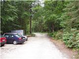
Leave the Gorenjska motorway at the Hrušica exit and follow the road towards Kranjska Gora. Just before the village of Dovje, the road branches off to the left and leads to Mojstrana (Vrata, Kot and Krma). Follow the road in the direction of the Vrata valley and follow it to the large parking lot near the Aljaž's home.
Path description:
From the parking lot, continue along the macadam road, which after a 3-minute walk leads to the crossroads at Aljaževem dom. Continue right in the direction of Škrlatica and Dolkova špica along the path which leads us across the meadow into the forest. Continue up the initially gently sloping cart track, which changes to a slightly steeper footpath higher up. Soon, however, the path leads to the bed of a torrent, along which it climbs for only a short distance before turning right and climbing steeply through the forest. The path then turns to the left, where it crosses a short avalanche-prone slope, and then gradually passes onto the slopes below Stenar. The slopes continue to climb up the aforementioned slopes, which are lightly covered with dwarf pines and individual larch trees. Higher up, the path leads us to a small crossroads, where we continue to the right in the direction of Škrlatica (left Stenar on the unmarked path through Stenarskih vratc. The way forward climbs for only a short time, and then the path is laid and leads us to a larger crossroads, where we continue to the left in the direction of Pogačnik's home and bivouac at Dwarf pines (right Škrlatica). The marked trail passes the bivouac on the right and climbs steeply behind it for a short distance. The steepness eases and the path leads through a karst world full of potholes, cracks and caves. A beautiful high-mountain path, which offers beautiful views, especially of the surrounding peaks, leads us higher up to the next crossroads. Continue to the right in the direction of Škrlatica and Dolkova špica (Križ, Pogačnikov dom and Cirque on the left) along a path that crosses the slopes below the walls of Gubno and Dovško Gamsovec almost horizontally. After about 30 minutes of further walking, the trail starts to climb up the hilly terrain towards the steep Rdeča škrbina, located between Dolkova Špica and the lesser known Rogljica.
From here, continue along the marked trail for another 10 metres in the direction of Škrlatica, then turn left along the trackless path and continue your ascent along the sharp, crumbly and precipitous ridge. At the more difficult places, move slightly to the left. Climb it to the summit, which is reached after about 20 minutes of trackless terrain.
The climbing reaches grade 2 on a crumbly and exposed ridge. I recommend being accompanied by a mountain guide. The climb is short but very dangerous. Dor - bivouac 3:00, bivouac - Rogljica 2:15.

Pictures:
 1
1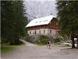 2
2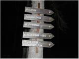 3
3 4
4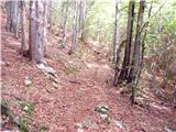 5
5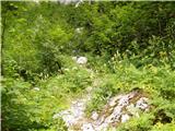 6
6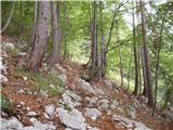 7
7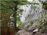 8
8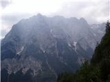 9
9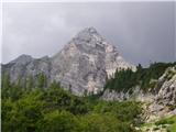 10
10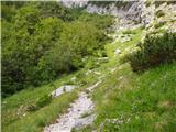 11
11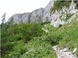 12
12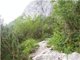 13
13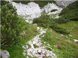 14
14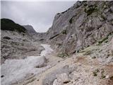 15
15 16
16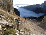 17
17 18
18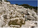 19
19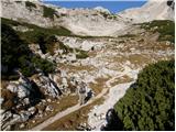 20
20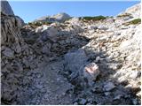 21
21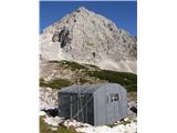 22
22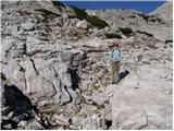 23
23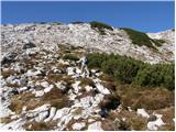 24
24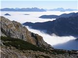 25
25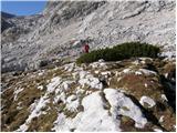 26
26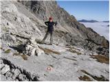 27
27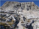 28
28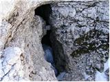 29
29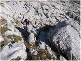 30
30 31
31 32
32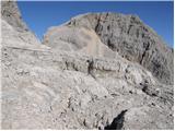 33
33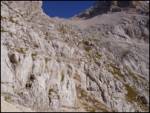 34
34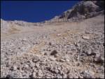 35
35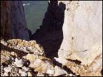 36
36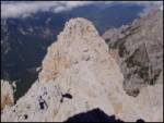 37
37
Discussion about the trail Aljažev dom v Vratih - Rogljica (western way)