Bad Gleichenberg (Eichgraben Weg) - Gleichenberger Kogel (via Mühlsteinbruch)
Starting point: Bad Gleichenberg (Eichgraben Weg) (328 m)
| Lat/Lon: | 46,88265°N 15,92017°E |
| |
Name of path: via Mühlsteinbruch
Time of walking: 1 h 10 min
Difficulty: easy marked way
Altitude difference: 270 m
Altitude difference po putu: 305 m
Map:
Recommended equipment (summer):
Recommended equipment (winter): ice axe, crampons
Views: 80
 | 1 person likes this post |
Access to the starting point:
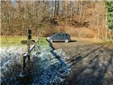
We drive to Gornja Radgona, from where we drive to Austria. Through Radgona / Bad Radkersburg, follow the signs for the motorway, then turn right after Halbenrain towards Vrbna / Feldbach. When you reach Bad Gleichenberg after the Eurowash car wash, turn right onto Badstraße, then follow Ringstraße, Bernreither Straße, Steinriegelstraße and turn left onto Eichgraben Weg. Continue along the above-mentioned path for another 100 metres and then park in the parking lot at the edge of the forest.
Path description:
From the parking lot, follow the marked footpath as it climbs through the forest, passing a small recreation park on the left at the very beginning. The path then ascends through the forest, where it passes a number of information and educational signs, and at the crossroads you follow the markings of route No 13.
Higher up, the trail splits, and we take the right-hand path, with signs for Gleichenberg Dorf (straight ahead, Alte Wasserstelle), and continue climbing through the forest. A little further on, the path forks again, and this time we continue left in the direction of Mühlsteinbruch and Enzianhütte.
There is only a short climb and we pass a lookout tower to reach the cross at Mühlsteinbruch, with the Enzianhütte hut a little further on.
After the Enzianhütte, return to route 13 and follow it to the left, and a little higher up you will reach a forest road which you follow to the left. After a few minutes of traversing down the slopes of the Bschaidkogel, you will reach the pass between the aforementioned peak and your destination. Here, go left in the direction of "Kogel Gipfel" (straight ahead Gleichenberg Dorf) and start climbing gently up the cart track. A little further on, the old pilgrim's path joins from the left and the path bypassing Mühlsteinbruch. The trail continues to climb mostly transversely, but splits higher up. A steep shortcut continues straight ahead, and we continue to the left and then, following the path, begin to turn in a semicircle to the right. Follow this path to the nearby summit, where there is a cross with a registration box by the ruins.
Starting point - Mühlsteinbruch 0:35, Mühlsteinbruch - top 0:35.
Description and pictures refer to the situation in December 2022.

Pictures:
 1
1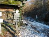 2
2 3
3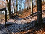 4
4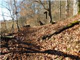 5
5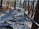 6
6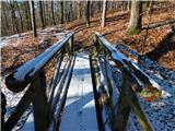 7
7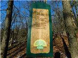 8
8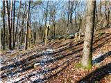 9
9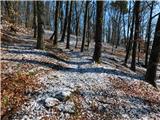 10
10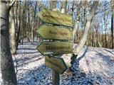 11
11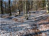 12
12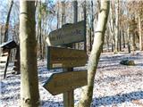 13
13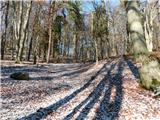 14
14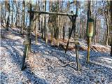 15
15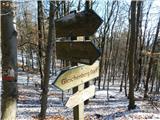 16
16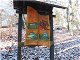 17
17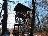 18
18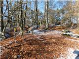 19
19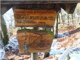 20
20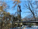 21
21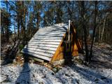 22
22 23
23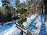 24
24 25
25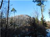 26
26 27
27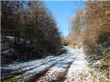 28
28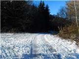 29
29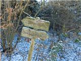 30
30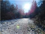 31
31 32
32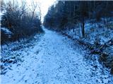 33
33 34
34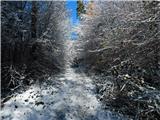 35
35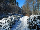 36
36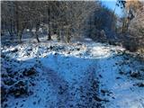 37
37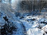 38
38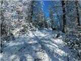 39
39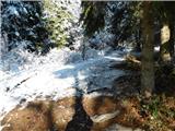 40
40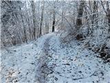 41
41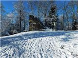 42
42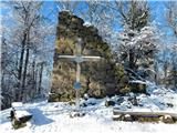 43
43
Discussion about the trail Bad Gleichenberg (Eichgraben Weg) - Gleichenberger Kogel (via Mühlsteinbruch)