Bad Gleichenberg (Eichgraben Weg) - Mühlsteinbruch
Starting point: Bad Gleichenberg (Eichgraben Weg) (328 m)
| Lat/Lon: | 46,88265°N 15,92017°E |
| |
Time of walking: 35 min
Difficulty: easy marked way
Altitude difference: 163 m
Altitude difference po putu: 170 m
Map:
Recommended equipment (summer):
Recommended equipment (winter): ice axe, crampons
Views: 96
 | 1 person likes this post |
Access to the starting point:
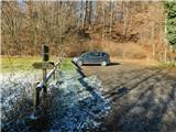
We drive to Gornja Radgona, from where we drive to Austria. Through Radgona / Bad Radkersburg, follow the signs for the motorway, then turn right after Halbenrain towards Vrbna / Feldbach. When you reach Bad Gleichenberg after the Eurowash car wash, turn right onto Badstraße, then follow Ringstraße, Bernreither Straße, Steinriegelstraße and turn left onto Eichgraben Weg. Continue along the above-mentioned path for another 100 metres and then park in the parking lot at the edge of the forest.
Path description:
From the parking lot, follow the marked footpath as it climbs through the forest, passing a small recreation park on the left at the very beginning. The path then ascends through the forest, where it passes a number of information and educational signs, and at the crossroads you follow the markings of route No 13.
Higher up, the trail splits, and we take the right-hand path, with signs for Gleichenberg Dorf (straight ahead, Alte Wasserstelle), and continue climbing through the forest. A little further on, the path forks again, and this time we continue left in the direction of Mühlsteinbruch and Enzianhütte.
There is only a short climb and we pass a lookout tower to reach the cross at Mühlsteinbruch, with the Enzianhütte hut a little further on.
Description and pictures refer to December 2022.
Pictures:
 1
1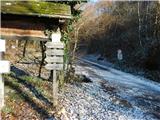 2
2 3
3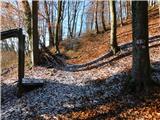 4
4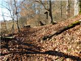 5
5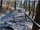 6
6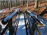 7
7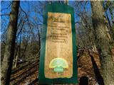 8
8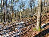 9
9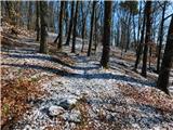 10
10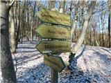 11
11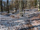 12
12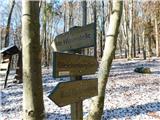 13
13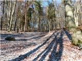 14
14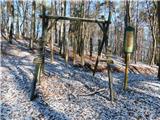 15
15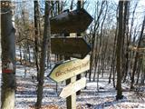 16
16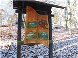 17
17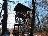 18
18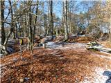 19
19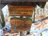 20
20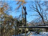 21
21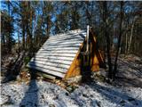 22
22
Discussion about the trail Bad Gleichenberg (Eichgraben Weg) - Mühlsteinbruch