Bad Vellach - Kärntner Storschitz / Pristovški Storžič
Starting point: Bad Vellach (815 m)
| Lat/Lon: | 46,4304°N 14,5515°E |
| |
Time of walking: 2 h 30 min
Difficulty: easy marked way
Altitude difference: 944 m
Altitude difference po putu: 950 m
Map: Karavanke - osrednji del 1:50.000
Recommended equipment (summer):
Recommended equipment (winter): ice axe, crampons
Views: 8.128
 | 1 person likes this post |
Access to the starting point:
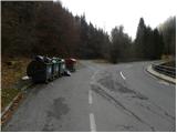
From the motorway Ljubljana - Jesenice take the exit Kranj - East and follow the road towards Jezersko. From Zgornje Jezersko, continue towards Austria, and we take the road to Bela / Bad Vellach. When the road gets quite close to the river Bela, we pay attention, because soon we will see on the left side, yellow mountain direction signs with inscriptions for Kärntner Storschitz, the village of Korte. . . As there are no suitable parking places at the starting point, it is best to park a good 100 m higher up, in a suitable place along the road.
The starting point can also be reached via Border crossing Pavličev vrh.
Path description:
From the mountain signs, cross the bridge first, then start climbing up the macadam road, which is closed to public traffic. Through many serpentines, with increasingly beautiful views, in about 45 minutes, we climb up to the Pastirk farm, where there is a crossroads.
Here, pass the chapel on the right and walk through the farm yard, then, slightly above the house, notice the yellow mountain signpost pointing right into the forest. Continue up the older cart track, which has some less well-marked forks. Higher up, the path, very poorly marked in several places, leads to a clearing, above which the cart track turns into a footpath. Next, follow the poorly trodden but slightly better marked path, which ascends in a moderate ascent to the nearby forest road.
Once on the road, the orientation problems end, as the path is better marked higher up. Walk along the road for a while, then continue straight ahead behind the hunting observation post on the increasingly worse cart track, which quickly turns into a gently sloping footpath, which takes you across a partly marshy clearing to the marked crossroads at Pastirkov Peak.
Here, the path from Jezerski vrh joins us from the left, and we continue our journey partly along the cart track, and partly along the occasionally steeper mountain path. Higher up, the path climbs steeply for a while, then leads to the Kepp saddle, where we join the path from the village of Korte / Trögern.
Here, continue left in the route Kärntner Storschitz on the path that goes into the forest and gradually starts to climb steeply. As you go through the woods, the path climbs quite steeply for a few metres (slip hazard in wet conditions), and then levels off and crosses a few metres of slightly steeper slope (not difficult in dry conditions) with the help of a rope. Above the steep part, the path flattens out a little and leads out of the forest into the lane of dwarf pines, through which you climb to the nearby summit in a few minutes.

Pictures:
 1
1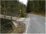 2
2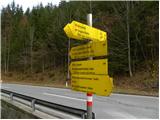 3
3 4
4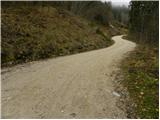 5
5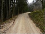 6
6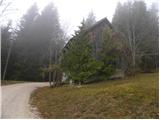 7
7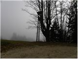 8
8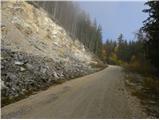 9
9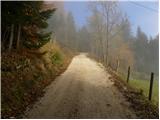 10
10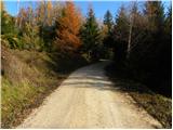 11
11 12
12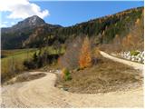 13
13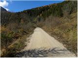 14
14 15
15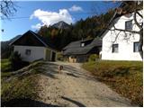 16
16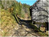 17
17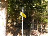 18
18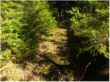 19
19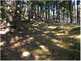 20
20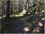 21
21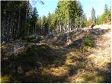 22
22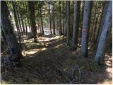 23
23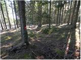 24
24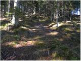 25
25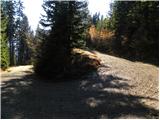 26
26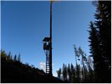 27
27 28
28 29
29 30
30 31
31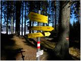 32
32 33
33 34
34 35
35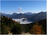 36
36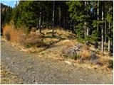 37
37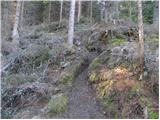 38
38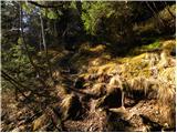 39
39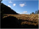 40
40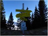 41
41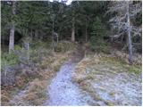 42
42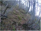 43
43 44
44 45
45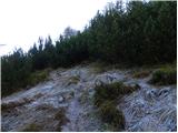 46
46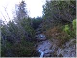 47
47 48
48 49
49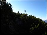 50
50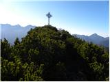 51
51 52
52 53
53 54
54
Discussion about the trail Bad Vellach - Kärntner Storschitz / Pristovški Storžič