Bajgot - Mali Šumik waterfall
Starting point: Bajgot (1050 m)
Time of walking: 35 min
Difficulty: difficult marked way
Altitude difference: -160 m
Altitude difference po putu: -160 m
Map: Pohorje 1:50.000
Recommended equipment (summer): helmet
Recommended equipment (winter): helmet, ice axe, crampons
Views: 9.546
 | 1 person likes this post |
Access to the starting point:
From Maribor or Dravograd, drive to Selnica ob Dravi, from where you continue to the village of Ruše. In Ruše, turn right and then left towards Smolnik. The ascending road soon leads to the village and a few kilometres further to a crossroads, where you turn left towards the Šumik waterfall. Follow the road for another 100m to the parking lot above Šumik Falls.
Path description:
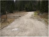
From the parking lot, follow the initially wide footpath in the direction of Maly and Veliki Šumik. After a few steps, a notice board warns us that we will continue on a steep and dangerous path (mountain shoes are required). The path crosses the Lobnica River and gradually begins to descend. We continue down the path, which becomes steeper and steeper and in some places guarded. When we are very close to Veliki Šumik, the path leads us over the most difficult part of the trail. With the help of a rope ladder, we descend over a short steep wall and then cross steep slopes, mostly without fixed safety gear. The trail then leads to the place where the stamp is located (from here you can already see the waterfall), followed by a steep descent to a beautiful viewpoint of the waterfall.
From Veliki Šumik, continue along the path, which continues to descend along the Lobnica River on the sometimes steep slopes. A little further on, cross the Verna stream with the help of a rope, which turns into several small waterfalls at high water level. Just a little further on, cross the River Lobnica via a small bridge. Just after the bridge, you will see a 9m waterfall marker. From the sign you can see the waterfall from above, but if you want to see it from below, continue along the path, which first ascends and then descends to the crossroads of the path. Here we continue right down the steep path, which quickly leads us to the Lobnice riverbed, from which we have a view of the waterfall.

Pictures:
 1
1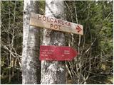 2
2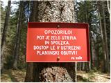 3
3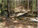 4
4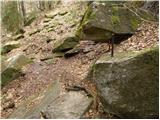 5
5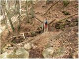 6
6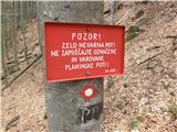 7
7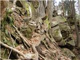 8
8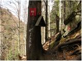 9
9 10
10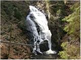 11
11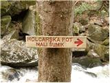 12
12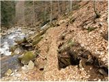 13
13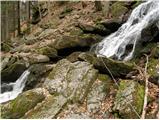 14
14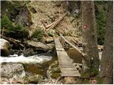 15
15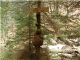 16
16 17
17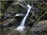 18
18
Discussion about the trail Bajgot - Mali Šumik waterfall