Bast - Sveti Jure (Biokovo) (circular path on ridge of Biokovo)
Starting point: Bast (310 m)
| Lat/Lon: | 43,3607°N 16,9788°E |
| |
Name of path: circular path on ridge of Biokovo
Time of walking: 20 h
Difficulty: partly demanding marked way
Altitude difference: 1452 m
Altitude difference po putu: 1452 m
Map:
Recommended equipment (summer):
Recommended equipment (winter):
Views: 5.634
 | 5 people like this post |
Access to the starting point:
From the A1 Zagreb - Ploče motorway, after passing the Zadar, Sibenik and Split exits, head towards Makarska to the Zagvozd - Makarska exit and cross the Sv. Ilija tunnel. Just after the tunnel exit, we turn into the village of Bast, which is also our starting point.
Path description:
The starting point is in the village of Bast, above the quarry, from where the marked trail heads steeply up the marked path, where the steepness hardly lets up. In summer, the heat will be an additional problem, the biggest being the lack of liquids, as there is no serviced hut or drinking water source in this first part. After about 4. 45 hours we reach the first summit Ščirovac 1. 619 m .
From here we continue along a partly difficult (the only part that is a bit difficult) ridge to Sv. Ilija 1,640 m, which is reached after 1. 40 hours. From here we continue past the remote Hunting Hut, below the summit of Špilje and Motika to the unmaintained mountain hut PD Makarska - Biokovo on Lokva 1. 467 m, after 3. 45 hours.
Sleep in the mountain hut.
Information for renting a hut on the link : http://www. hps. hr/info/planinarske-kuce/planinarska-kuca-slobodan-ravlic/
On the second day, the route leads us along the marked path below Čavlenovec to St. George / Sv. Jura (1. 762 m, where we arrive partly below the summit also on a narrow asphalt road after 1. 45 hours, where there is a transmitter (the highest point of Biokovo - the peak, which is the second highest in Croatia) and the church of St. George / Sv. Jura. Afterwards, the trail descends a partly difficult slope, guarded by a rope (approx. 150 m). At the end of the slope you reach a hut below Sv. Juro 1,584 m, next to which there is also a water tap from which you can pour drinking water. From here we continue along the asphalt road (approx. 3. 5 km) and arrive at the lodge below Vošec 1,301 m after about one hour, where there is the possibility of the first serious restocking. From here to the top of Vošec, where the mountain lodge at 1,422 m is located, it takes another 0. 30 hours. From here and on the Sv. Jura peak, there is a view that will be remembered for the rest of our lives. From Vošec, an easier marked and well-trodden path descends steeply to Makarska and its coast, which takes 2. 40 hours (the time also includes the fatigue from the almost 30 km long route).

Pictures:
 1
1 2
2 3
3 4
4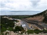 5
5 6
6 7
7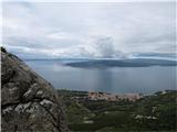 8
8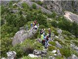 9
9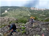 10
10 11
11 12
12 13
13 14
14 15
15 16
16 17
17 18
18 19
19 20
20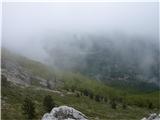 21
21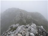 22
22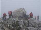 23
23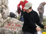 24
24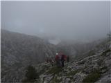 25
25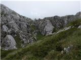 26
26 27
27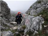 28
28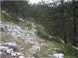 29
29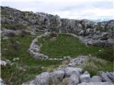 30
30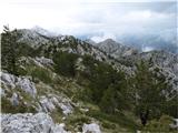 31
31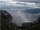 32
32 33
33 34
34 35
35 36
36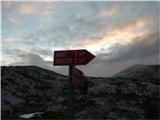 37
37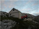 38
38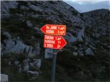 39
39 40
40 41
41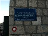 42
42 43
43 44
44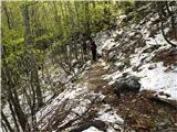 45
45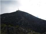 46
46 47
47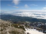 48
48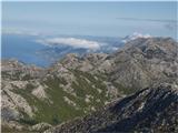 49
49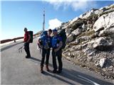 50
50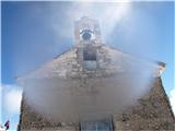 51
51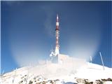 52
52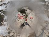 53
53 54
54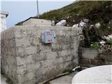 55
55 56
56 57
57 58
58 59
59 60
60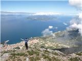 61
61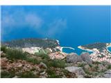 62
62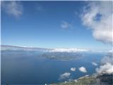 63
63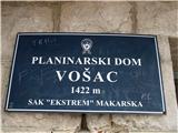 64
64 65
65 66
66 67
67 68
68 69
69 70
70 71
71 72
72 73
73 74
74 75
75 76
76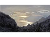 77
77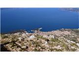 78
78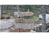 79
79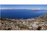 80
80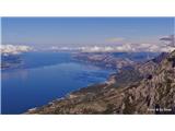 81
81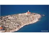 82
82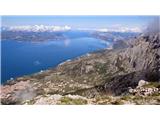 83
83
Discussion about the trail Bast - Sveti Jure (Biokovo) (circular path on ridge of Biokovo)