Beli Potok at Frankolovo - Lindek Castle
Starting point: Beli Potok at Frankolovo (435 m)
| Lat/Lon: | 46,3484°N 15,323°E |
| |
Time of walking: 45 min
Difficulty: easy marked way
Altitude difference: 260 m
Altitude difference po putu: 260 m
Map:
Recommended equipment (summer):
Recommended equipment (winter): crampons
Views: 8.717
 | 1 person likes this post |
Access to the starting point:
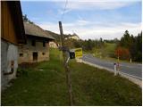
From the motorway Ljubljana - Maribor, take the exit Celje - centre, then continue to Vojnik, Frankolovo and Zrece. At the end of Frankolovo, you will see signs for the Lindek castle, which will direct you left onto a narrower and ascending asphalt road. Park along the road in a suitable place.
Path description:
Walk along the asphalt road for a few minutes and then arrive at a small crossroads, where you continue neither left nor right, but straight on the marked cart track in the direction of the Lindek Castle, Kislice and Stenice. The path continues along cart track, which follows the bed of the Belski brook. Higher up, we cross the aforementioned stream, and the path leads us to the 9 m high Lindeškega waterfall. Above the waterfall, the path switches to slightly steeper slopes, then lays down and turns slightly to the right. There are a few minutes of gentle ascent through the forest, and then the path leads to a nearby macadam road. Follow the road to the right, and after a few steps it leads to a small pass where there is a marked crossroads.
Here, turn right in the direction of Castle Lindek (left along road Stenica) and follow the path cart track, which climbs gently through the forest. Follow this path until you reach the ruins of Castle Lindek, which you will reach after about 10 minutes of further walking.

Pictures:
 1
1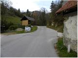 2
2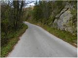 3
3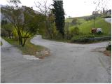 4
4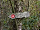 5
5 6
6 7
7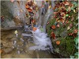 8
8 9
9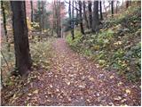 10
10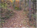 11
11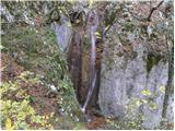 12
12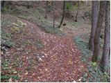 13
13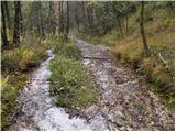 14
14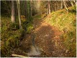 15
15 16
16 17
17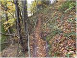 18
18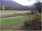 19
19 20
20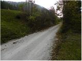 21
21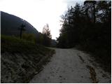 22
22 23
23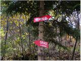 24
24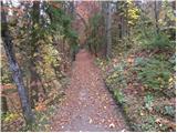 25
25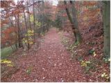 26
26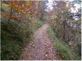 27
27 28
28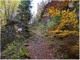 29
29 30
30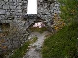 31
31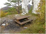 32
32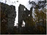 33
33 34
34 35
35
Discussion about the trail Beli Potok at Frankolovo - Lindek Castle