Beli Potok at Frankolovo - Stenica
Starting point: Beli Potok at Frankolovo (435 m)
| Lat/Lon: | 46,3484°N 15,323°E |
| |
Time of walking: 1 h 45 min
Difficulty: easy marked way
Altitude difference: 656 m
Altitude difference po putu: 700 m
Map:
Recommended equipment (summer):
Recommended equipment (winter): ice axe, crampons
Views: 13.968
 | 2 people like this post |
Access to the starting point:
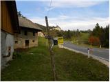
From the motorway Ljubljana - Maribor, take the exit Celje - centre, then continue to Vojnik, Frankolovo and Zrece. At the end of Frankolovo, you will see signs for the Lindek castle, which will direct you left onto a narrower and ascending asphalt road. Park along the road in a suitable place.
Path description:
Walk along the asphalt road for a few minutes and then arrive at a small crossroads, where you continue neither left nor right, but straight on the marked cart track in the direction of Castle Lindek, Kislice and Stenica. The path continues along the cart track, which follows the bed of the Belski brook. Higher up, we cross the aforementioned stream, and the path leads us to the 9 m high Lindeškega waterfall. Above the waterfall, the path switches to slightly steeper slopes, then lays down and turns slightly to the right. There are a few minutes of gentle ascent through the forest, and then the path leads to a nearby macadam road. Follow the road to the right, and after a few steps it leads to a small pass where there is a marked crossroads.
Here, continue left along the asphalt road (right Castle Lindek 10 to 15 minutes), which leads us after a few metres to the next crossroads. This time continue along the right-hand road in the direction of the path to Stenica. At the next crossroads, continue right again, and we follow the asphalt road for a short time, then, when we reach a larger hayfield, we leave it and continue our ascent to the left (an arrow on the asphalt points to the left), along the edge of the forest, relatively steeply uphill. Climb along the edge of the wood for a while and then you will reach a grassy cart track, which you follow to the right, to a nearby farm.
Here, walk through the farmyard of a dwelling house (beware of the big dog!), after which you will come to a small fork, where you will continue along the upper left-hand cart track. Continue briefly on cart track, and then you reach a fainter macadam road, which you reach just at the end of the road, but we just cross it and continue the climb on a steeper marked mountain path. (You can also get here by following the road straight on instead of turning left onto the hayfield, and then after a few minutes continue left - this is how you get away from the dog).
Climb quite steeply through the woods for a few minutes, then reach cart track, which you follow to the left, but walk along it for only a short time, as the signs for Stenica then direct you to the right onto another steeper footpath. Continue through the forest for a while and then you will reach a dirt road, which you follow to the left. At the sight of Pohorje, walk to the right-hand bend, and we leave the road just at the bend and climb past the nearby garage into the woods. The path continues steeply up the eastern ridge of Stenica, and then leads to the headland, where it lays. There is a short descent, and then the marked trail continues along and along the ridge Stenica to the main summit, which is reached after a further 20 minutes of walking.

Pictures:
 1
1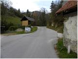 2
2 3
3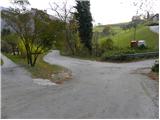 4
4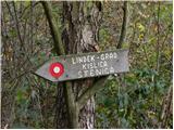 5
5 6
6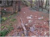 7
7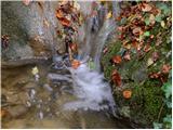 8
8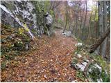 9
9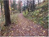 10
10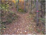 11
11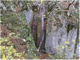 12
12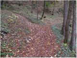 13
13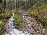 14
14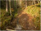 15
15 16
16 17
17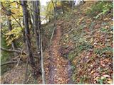 18
18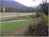 19
19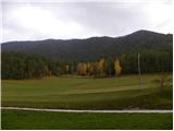 20
20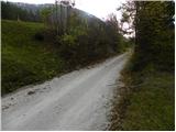 21
21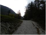 22
22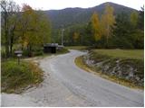 23
23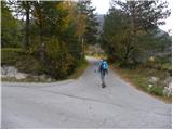 24
24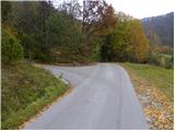 25
25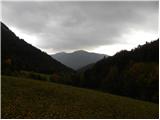 26
26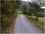 27
27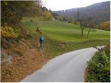 28
28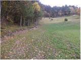 29
29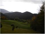 30
30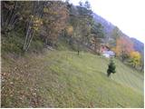 31
31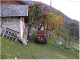 32
32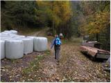 33
33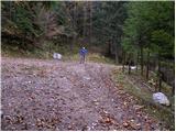 34
34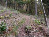 35
35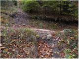 36
36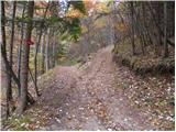 37
37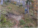 38
38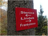 39
39 40
40 41
41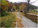 42
42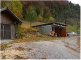 43
43 44
44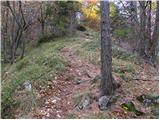 45
45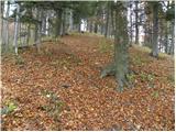 46
46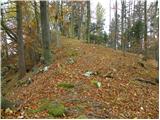 47
47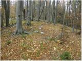 48
48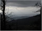 49
49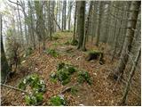 50
50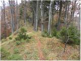 51
51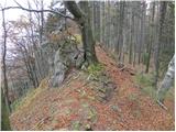 52
52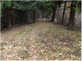 53
53 54
54 55
55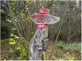 56
56
Discussion about the trail Beli Potok at Frankolovo - Stenica
|
| pohodnik3815. 11. 2011 |
Na Martinovo soboto prehodil tole pot,zelo zgledno urejena in markirana res pa je da z vrha ni razgleda ampak vseeno zadovoljn z pohodom saj mi je bilo naklonjeno zelo krasno vreme...omenil bi še tule je na 28 fotografiji rečeno da se zavije levo gor to je sedaj spremenjeno gre se naprej po cesti pod domačijo in nato v ovinku gor čez travnik v gozd....nekaj utirnkov z pohoda pa si lahko ogledate tukaj.
|
|
|
|
| Marx24. 11. 2011 |
Zelo mi je všeč da je tudi Stenica prišla do svog prostora na tistem spletu. Omeniti je treba tudi da obstaja pot iz Vitanja ki je deloma precej strma in atraktivna (kratek opis je na trenutnih razmerah)
Še nekaj - ko bi na sliki 11 šli levo mimo markacij , in po katerih 50-ih metrov desno po kolovozu rahlo navzgor , bi prišli na delno zahtevnu nemarkirano pot ki za katero uro pride na razglednik na Kislici. Kot pravim , pot je nemarkirana , ampak je dobro uhojena in so na par mesta puščice.
|
|
|
|
| wolphgang24. 11. 2011 |
Marx, mimogrede, vsak ima možnost vnest svojo destinacijo in poti do nje
|
|
|
|
| pohodnik3824. 11. 2011 |
@Marx bom naslednjič poskusil to pot,vem da je Kislica-Špičast vrh zelo razgleden 
|
|
|
|
| aonuk18. 02. 2012 |
Nekaj svežih slik z vrha Stenice,žal premalo obiskan (slab razgled)Lepa tura,tako iz Belega potoka ali Vitanja (treba bo postaviti razgledni stolp)
lp Vinko
|
|
|
|
| pohodnik3812. 03. 2012 |
Tokrat isto izhodišče ker pa Špičast vrh(Kislica)-994m ki je sosednji vrh Stenice nima tukaj na tem portalu še opisa pa par besed tukaj.Lepa lahka in kratka pot vrh ima zavidanja vreden razgled glede na Stenico...predvsem proti jugu proti Celju vse do Kum-a...vreme lepo le zjutraj je bolj slabo kazalo potem pa so se oblaki nekam umaknili.Pot je lahko sledljiva dobro uhojena ponekod možici,kakšna puščica ali takec na drevesu tako da se ni možno izgubiti...nekaj utrinkov pa na tej povezavi.
|
|
|
|
| pohodnik3830. 12. 2012 |
Včeraj 29.12. spet na Kislico-Špičasti vrh vreme špica razgled pa dih jemajoč sploh zaradi neskončne beline oblakov ki so prekrivali nižine  VIDEO-Špičasti vrh VIDEO-Špičasti vrh Lp! Tone
|
|
|
|
| pohodnik3820. 01. 2013 |
V zimskih razmerah na Kislico-Špičasti vrh-994m  SLIKE SLIKE Lp! Tone
|
|
|
|
| pohodnik388. 10. 2013 |
Sobotna "avantura" po brezpotju z Kislice na Stenico v sliki in besedi. OBJAVA Lp! Tone 
|
|
|
|
| marinka6731. 05. 2014 |
Danes osvojena Stenica v zelo vetrovnem vremenu. Lep izlet, ravno prav dolg za spomladansko "ogrevanje" pred visokogorjem 
|
|
|
|
| artur11. 08. 2016 |
Danes prehodil to pot.
Za informacijo lahko povem le to, da je sprememba markacije od 28 slike do 32 slike. Ne gre se namreč več mimo kmetije ampak spodaj po cesti.
Je pa verjetno v jeseni lepši pohod kot sedaj poleti.
Se pa splača še pogledat grad Lindek, saj ti ne vzame več kot 20 min.
lp
|
|
|
|
| redbull12. 08. 2016 |
bolš da ne gre, ker te tam čaka res vse prijazen kuža 
|
|
|
|
| Hribolazec8129. 05. 2018 |
Jas bi naredil pot iz frankolovega na grad Lindek - Stenica - Kislica ter nazaj v dolino, je kje opisana ta pot? Na grad in stenico poznam pot, ampak do kislice naprej ne znam, ter nazaj do izhodišča belega potoka vesel bi bil za pomoč 
|
|
|
|
| homoAlpinus30. 05. 2018 |
Hribolazec81. Najbolje,da slediš opisu za vzpon na Kislico in potem malo naprej po grebenu od Špičastega vrha zaviješ desno po gozdni cesti na travnik pri kmetiji Vrhivšek. Greš mimo nje po makedamu in ko zagledaš Vitanje se usmeriš strmo na greben na Stenico. Spust pa opravi po markirani poti, ki te vodi proti vzhodu in Lindeku.
|
|
|