Belska Kočna - Kranjska Rinka
Starting point: Belska Kočna (968 m)
| Lat/Lon: | 46,4023°N 14,5664°E |
| |
Time of walking: 5 h 5 min
Difficulty: very difficult marked way
Altitude difference: 1485 m
Altitude difference po putu: 1585 m
Map: Kamniške in Savinjske Alpe 1:50.000
Recommended equipment (summer): helmet, self belay set
Recommended equipment (winter): helmet, self belay set, ice axe, crampons
Views: 4.754
 | 1 person likes this post |
Access to the starting point:
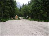
First, we drive to Jezersko, then continue our drive towards Austria. From Jezersko, the road climbs in a few serpentines to the Jezerski vrh border crossing, and from there it starts to descend steeply in a number of serpentines. Lower down, at Bela / Bad Velach, you reach a marked crossroads, where you turn right in the direction of Belska Kočna / Velacher Kotschna. The road crosses the Bela stream and a few metres further on leads to the next crossroads. Here, continue straight ahead on the right-hand road and continue driving along the aforementioned stream. Follow this road to a parking area next to a ramp which prevents further traffic.
Access is also possible via the Pavlič saddle. In this case, turn left at Bela. Continue as described above.
Due to the construction of the new forest road (2009) at Jenkova planina, the parking area by the barrier may be full of logs, so park a little lower down in a suitable place by the road.
Path description:
From the parking lot, continue along the road, which leads to a crossroads after a 3-minute walk. Continue straight ahead, following the road in the direction of Logarska dolina (right Goli vrh). Follow the gently sloping road for about 20 minutes to a place where a marked trail branches off up to the left. Continue along the initially wide path, which leads us through the forest at a moderate gradient to a torrential stream, where the path turns right, crosses the stream and then leads us to a protected part of the path. With the help of a rope ladder, you climb a slightly exposed ridge, which is short and easy on land. The path continues to climb through scrub with beautiful views of the surrounding peaks. The peak that catches our eye the most is the Vellacher Turm, which we are getting closer and closer to. Next, the path leads us past a pleasant little well, behind which we soon reach an old hunting lodge surrounded by lush vegetation. The path then climbs for some time through scrub and sparse wodland, beyond which we enter the embrace of larch trees. The world ahead is becoming more and more alpine, and the larch trees are being replaced by scree, which, due to their axial position, is under snow for quite a long time. Over the scree, a rather steep and increasingly scenic path leads us, which after a while leads to Savinjsko sedlo, where there is a crossroads. Here we continue to the right in the direction of Kranjska hut (left down Okrešelj, Mrzla gora and Logarska dolina). From the saddle, the trail first climbs gently to a beautiful viewpoint and then descends to the scree slope separating the Savinja and Jezersko saddles. The path continues along the aforementioned scree slope, which after a gentle ascent of 10 minutes leads to Jezersko sedlo, where the next crossroads are located.
From Jezersko sedlo continue in the direction of Kranjska koča na Ledinah along the path, which begins to descend gently. After just 10 steps we reach the next crossroads, where we continue left and continue our ascent along a moderately steep scree slope (straight down Kranjska koča and Jezersko). Just a little further on, the path from the Logarska dolina joins us from the left, and we continue past a natural window and continue our ascent along a marked path that turns slightly to the right and crosses steep western slopes in the ascent. The trail then turns left and climbs steeply along the steel cable. Soon you reach the northern slopes of the mountain and there is some easy climbing on broken rocks without fixed safety gear. Re-acquire the western slopes, where the route climbs very steeply again along the steel cable. From here there is also a very fine view of the precipitous cliffs of the Skute. There is a rather exposed traverse along the western side of the mountain, then the path turns left again and climbs almost vertically along the steel cable. The north slopes of the mountain are reached again and there is a short climb along the steel cable to the top of Koroška Rinka. From Križ, or Koroška Rinka, descend to the other side, along a path that descends steeply towards the valley between Kranjska and Koroška Rinka. The trail first follows a rugged ravine, then turns to scree, where it quickly reaches a crossroads, where it continues to the right (Turski žleb and Kamniška Bistrica on the left). The trail continues across the slopes of Koroška Rinka, then turns slightly to the left, where it climbs steeply. There is a short, very steep climb, and then the path leads to the main ridge, which is followed in a few steps to the top of Kranjska Rinka.

Pictures:
 1
1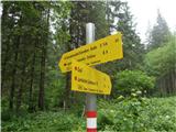 2
2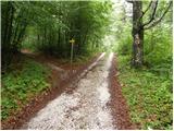 3
3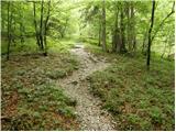 4
4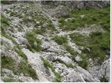 5
5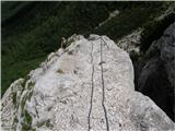 6
6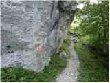 7
7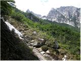 8
8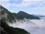 9
9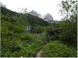 10
10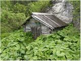 11
11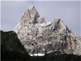 12
12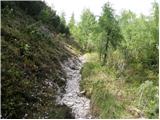 13
13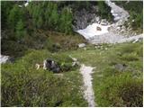 14
14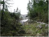 15
15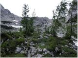 16
16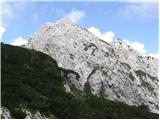 17
17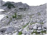 18
18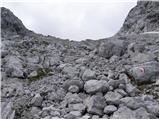 19
19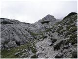 20
20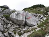 21
21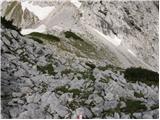 22
22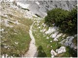 23
23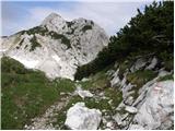 24
24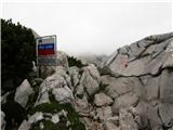 25
25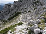 26
26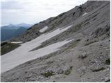 27
27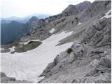 28
28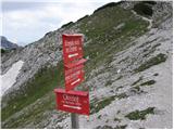 29
29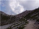 30
30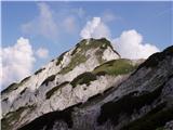 31
31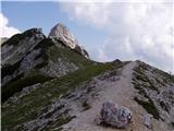 32
32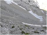 33
33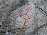 34
34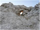 35
35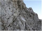 36
36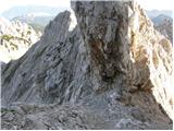 37
37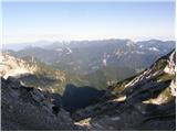 38
38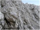 39
39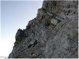 40
40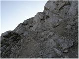 41
41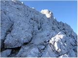 42
42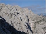 43
43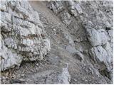 44
44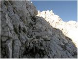 45
45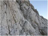 46
46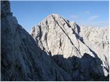 47
47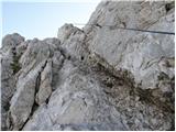 48
48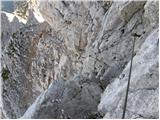 49
49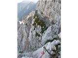 50
50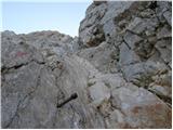 51
51 52
52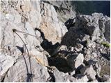 53
53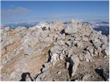 54
54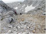 55
55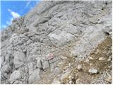 56
56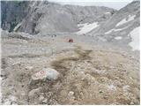 57
57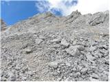 58
58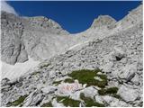 59
59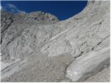 60
60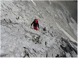 61
61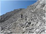 62
62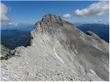 63
63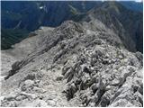 64
64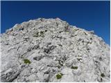 65
65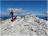 66
66
Discussion about the trail Belska Kočna - Kranjska Rinka