Bistrica pri Tržiču - Gutenberk Castle (Hudi grad) (west path)
Starting point: Bistrica pri Tržiču (615 m)
| Lat/Lon: | 46,362°N 14,285°E |
| |
Name of path: west path
Time of walking: 15 min
Difficulty: easy marked way, easy unmarked way
Altitude difference: 48 m
Altitude difference po putu: 48 m
Map: Karavanke - osrednji del 1:50.000
Recommended equipment (summer):
Recommended equipment (winter):
Views: 1.840
 | 1 person likes this post |
Access to the starting point:
Leave the Gorenjska motorway at the Podtabor junction, then continue towards Tržič and Ljubelj. Before the Petrol station in Bistrica pri Tržiču, turn right in the direction of Tržič and then left after the Tržič police station in the direction of Begunj. Go through the underpass under the main road, then exit the roundabout in the direction of Begunje and follow the signs for Begunje at the following junctions. Bistrica pri Tržiču then ends, and we take a sharp right off the main road towards Villa Bistrica (the villa is privately owned), and then park in a suitable place on the gravel road.
Path description:
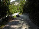
From where you parked, continue along the macadam road, which will take you to the crossroads by the chapel in a few minutes.
After the chapel, take a sharp left onto cart track in the direction of Dobrča and Bistriška planina (Bistrica pri Tržiču and the marked path to Tržič on the left, and straight ahead is the dirt road to villa Bistrica and the church of St George). After the nearby house, cart track turns into a forest and starts to climb steeply. Climb steeply for a few minutes and then reach a small pass where you leave the marked path towards Dobrča and continue right on an unmarked path, which was surfaced in 2018, and quickly climb up to Gutenberk Castle.
The description refers to the situation in 2018 (May) and the pictures are from different periods.
Pictures:
 1
1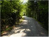 2
2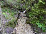 3
3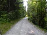 4
4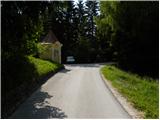 5
5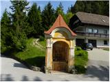 6
6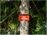 7
7 8
8 9
9 10
10 11
11 12
12 13
13 14
14 15
15
Discussion about the trail Bistrica pri Tržiču - Gutenberk Castle (Hudi grad) (west path)