Starting point: Blagovica (412 m)
| Lat/Lon: | 46,175°N 14,8034°E |
| |
Time of walking: 40 min
Difficulty: easy marked way
Altitude difference: 278 m
Altitude difference po putu: 278 m
Map: Posavsko hribovje - zahodni del 1:50.000
Recommended equipment (summer):
Recommended equipment (winter):
Views: 9.463
 | 1 person likes this post |
Access to the starting point:
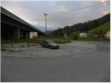
From the motorway Ljubljana - Maribor, take the exit Blagovica, and then continue driving towards the above-mentioned place. Just 10 m after the Blagovica sign, you will see signs for Golčaj, which will direct you to the right, to the road that goes under the motorway. Park in the parking lot just off the main road, opposite the fire station.
Path description:
From the parking lot, continue along the ascending road, which passes through an underpass, and then signs for Golčaj direct you left onto a steep footpath that continues to climb south of the motorway, whose traffic can still be heard for some time. Cross the road at a slightly higher level and continue the ascent on the wider cart track, which takes you past a water reservoir. cart track then becomes steeper and steeper and leads us higher up to a crossroads where we continue sharp left along the left cart track, which we follow for only a short time, as the signs for Golčaj then direct us to the right on a nicely marked footpath. Higher up, we briefly join the narrower cart track, and then resume our route along a relatively steep mountain path. The path is higher and leads to a marked crossroads in the immediate vicinity of Golčaj. Here continue left (right Limbarska gora) along a moderately steep forest path, which will take you to the summit in 3 minutes of further walking.
From the top, continue slightly to the right and after a short descent you will reach the nearby church of St. Neže.

Pictures:
 1
1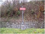 2
2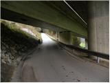 3
3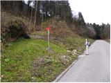 4
4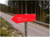 5
5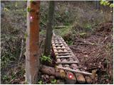 6
6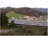 7
7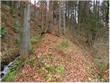 8
8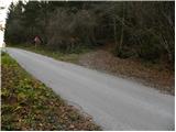 9
9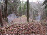 10
10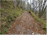 11
11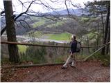 12
12 13
13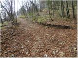 14
14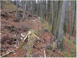 15
15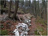 16
16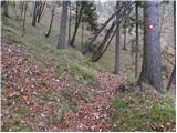 17
17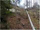 18
18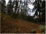 19
19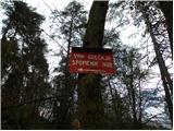 20
20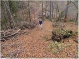 21
21 22
22 23
23 24
24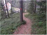 25
25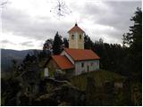 26
26
Discussion about the trail Blagovica - Golčaj
|
| bruny23. 10. 2011 |
 Danes tudi na Golčaj iz Blagovice ob nekoliko daljši pohodniški turi...Strmina v delu na Golčaj me je nekoliko presenetila in pot je vzorno označena z markacijami in tablami...
|
|
|
|
| grega_p4. 01. 2021 |
Zelo lepa pot, pohvale PD Blagovica. Sicer jim strmine ni uspelo zmanjšati :-), so pa lepo uredili začetni del z brunami, ograjami in mostički, ter nasplošno vzorno markirali in "možicirali" pot. Najlepše so pa vsekakor jaslice in okrašena smrekca na zgornjem delu poti - izvirno!
Za spust, še posebej v mokrem, pa priporočam vzhod - po cesti od Sv.Neže in še malo naprej po priključku na makadamsko cesto (cca 200m), potem pa levo navzdol po široki, ne preveč strmi poti, kjer pridemo do travnika in asfaltne ceste, ki nas pripelje do izhodišča. Traja približno 30min.
|
|
|
|
| zlatica7. 01. 2021 |
A fotke pa nobene, grega? Tako lep opis, da bi ga odlično dopolnile fotografije. 
|
|
|
|
| grega_p9. 01. 2021 |
Jah, moj telefon je star 12 let (na kar sem sicer prav ponosen), tako da bi bile fotke bolj slabe kvalitete, pa tudi slikam bolj poredko.
Rad pa opišem stvari in občutenja in na ta način mogoče koga spodbudim k izletu. Drugače bi samo fotke gledali vsi :-)
Včasih smo ljudje požirali pisane zgodbe planincev v knjigah in potem mrzlično čakali prost in jasen dan za turo, danes pa se prevečkrat zadovoljimo že s sliko.. Ni pa vse črno-belo seveda, vse ima svoj namen...
|
|
|