Blaguško jezero - Cerkvenjak
Starting point: Blaguško jezero (220 m)
| Lat/Lon: | 46,56612°N 16,00164°E |
| |
Time of walking: 1 h 45 min
Difficulty: easy marked way
Altitude difference: 121 m
Altitude difference po putu: 240 m
Map:
Recommended equipment (summer):
Recommended equipment (winter):
Views: 455
 | 1 person likes this post |
Access to the starting point:
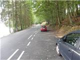
a) From the Maribor - Lendava motorway, take the Sveti Jurij ob Ščavnici exit, then follow the signs for the above-mentioned place and turn right towards Lenart in Slovenske gorice. The road then turns into a forest, where you will soon see the signs for Blaguško jezero, which point you sharp right. Drive for about 100 m and park in the parking lot.
b) Take Ptuj, then follow the signs to Radenci and follow the main road to Sveti Jurij ob Ščavnici, where you turn left towards Lenart v Slovenskih goricah. The road then turns into a forest, where you will soon see signs for Blaguško jezero, which point you sharp right. Drive for about 100 m and park in the parking lot.
Path description:
From the parking lot, continue onwards, where you will see the first markings along the eastern shore of the lake. The path ahead leads us over the embankment, from which we have a beautiful view of the lake and the Forest glamping resort Blaguš. On the other side of the embankment, the path turns left and moves slightly away from the lake, and when the fence ends, you descend along it back to the lake. When you reach the lake, turn right and continue along the northern shore of the lake to a dirt road that leads into the forest. At a small crossroads, go left, then pass a few houses to reach the main road, where you go right. Walk along the main road for a few minutes and then the signs for Cerkvenjak and Negova will direct you left onto a side road. A little further on, at the chapel, go slightly left and continue along the gently sloping road for a short distance. At the next sign for the Pomurska planinsko trail, go left to cart track, and when you reach the edge of the forest, continue to the right and continue walking along the edge of the forest.
Continue along the edge of the forest to the pasture of a nearby farm, where signs direct you left into the forest. Through the forest, follow the frequent markings, and a slightly steeper path will lead you in a few minutes to a small hut called Koča v naši grabi.
Above the hut, continue to the right and climb out of the forest to a field and pasture, and a few 10 steps further on, you will reach an asphalt road, which you follow to the right towards Cerkvenjak. Continue along the gently sloping road, which leads to Kočki Vrh, and follow the signs at a few small crossroads. We then start to descend through the forest, and from a nearby crossroads we continue slightly left, onto a road along which the markings continue. As you leave the forest, you pass a small lake and the road starts to climb again. The path ahead leads along a scenic road leading to the last house, where the road ends.
A few 10 paces before the yard of the last house, a passage opens to the right along a pasture fence to the upper road, which is quickly reached and followed to the left (this part of the path is not marked). Continue past the houses, and soon a red mountain direction sign directs you down to the right, where you begin to descend the grassy cart track, which initially opens up a fine view towards Cerkvenjak. At a lower level you reach another road, which you follow to the right, and after a few minutes of steady walking you reach the next crossroads.
Continue sharp left and then immediately right across the stream to cart track. The climb follows, first past a small lagoon, then alongside fine views. The wider cart track takes you higher up to a few houses, and at the crossroads where you reach the tarmac road, go right towards the Klopotč teaching and walking trail. Continue walking between the houses, and from the junction with the priority road, turn right and walk to the Church of St. Anthony the Hermit in Cerkvenjak.
Blaguško jezero - Koča v naši grabi 0:45, Koča v naši grabi - Cerkvenjak 1:00.
Description and pictures refer to the situation in September 2021.

Pictures:
 1
1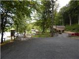 2
2 3
3 4
4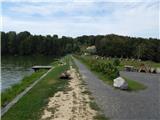 5
5 6
6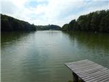 7
7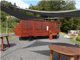 8
8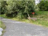 9
9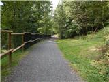 10
10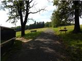 11
11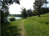 12
12 13
13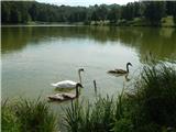 14
14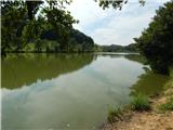 15
15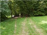 16
16 17
17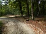 18
18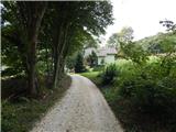 19
19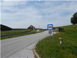 20
20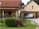 21
21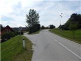 22
22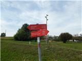 23
23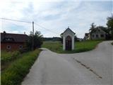 24
24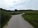 25
25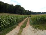 26
26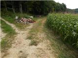 27
27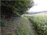 28
28 29
29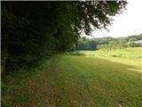 30
30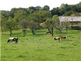 31
31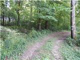 32
32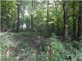 33
33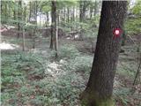 34
34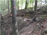 35
35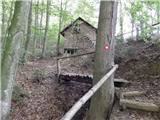 36
36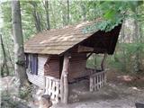 37
37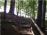 38
38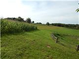 39
39 40
40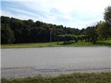 41
41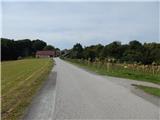 42
42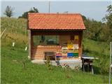 43
43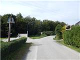 44
44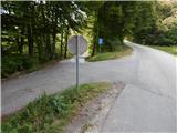 45
45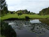 46
46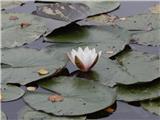 47
47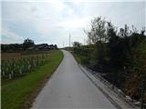 48
48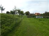 49
49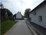 50
50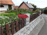 51
51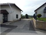 52
52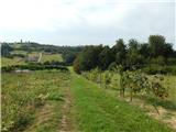 53
53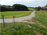 54
54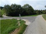 55
55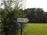 56
56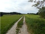 57
57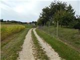 58
58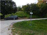 59
59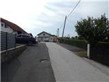 60
60 61
61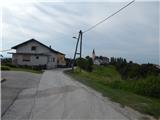 62
62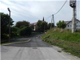 63
63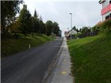 64
64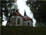 65
65 66
66
Discussion about the trail Blaguško jezero - Cerkvenjak