Blejska Dobrava (cemetery) - Sveta Katarina na Homu
Starting point: Blejska Dobrava (cemetery) (560 m)
| Lat/Lon: | 46,4068°N 14,1066°E |
| |
Time of walking: 50 min
Difficulty: easy unmarked way
Altitude difference: 74 m
Altitude difference po putu: 154 m
Map: TNP 1 : 50.000
Recommended equipment (summer):
Recommended equipment (winter): crampons
Views: 4.979
 | 3 people like this post |
Access to the starting point:
From the motorway Ljubljana - Jesenice, take the exit Lipce, where you turn left (direction Blejska Dobrava and Spodnje Gorje). After 100 m of driving, shortly after passing through the railway underpass, you will come to the next junction, where you turn left uphill to Blejska Dobrava (right Bled, Gorje). When the road soon becomes level, drive straight through the village, following signs for Vintgar and the cemetery. After about 1 km you will come to a railway tunnel. On the other side, where the road splits, turn right and after a further 100 m you will arrive at a large parking lot located near the cemetery.
Path description:
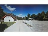
From the parking lot, continue on foot in the same direction, straight past the cemetery and the buildings next to it, on your right. Shortly after we have entered the dirt road, it turns right and starts to descend gently. The road soon leads into a mixed forest, where it continues to descend gently through bends. Then, as it flattens out, it leads us close to the river Radovna and soon to a bridge where we cross the river. On the other side, turn right up the hill (with the hydroelectric power station on the left), and you will reach a parking lot, at the end of which you will see concrete steps. Climb up the steps to the log cabin (in season a buffet and ticket sales for the gorge) from behind which you can also see the Šum waterfall from the top down on the bridge past the pergola. From the log cabin, continue up the stairs on the far left in the route marked "Katarina Bled". The path leads us past a small abandoned house quickly into the forest and climbs moderately for a short time. Shortly afterwards, when it levels off, we take a left at a crossroads and a little later we cross a small stream. Soon we are back at the 'crossroads', where we continue straight on, and the path briefly leads us to a clearing, beyond which it climbs only slightly to the left, back into the forest. A little higher up the path we encounter a small spring, and then the path turns slightly right and soon leads us out of the forest and onto the plain, where we see the Church of St Catherine. There is a restaurant on our right and benches across the parking lot on the opposite side, where we can rest and enjoy the view.

Pictures:
 1
1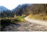 2
2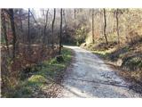 3
3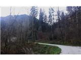 4
4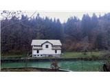 5
5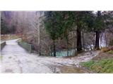 6
6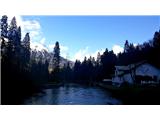 7
7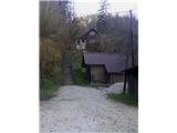 8
8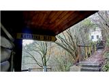 9
9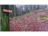 10
10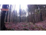 11
11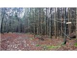 12
12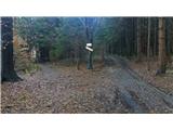 13
13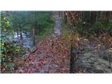 14
14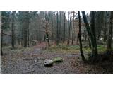 15
15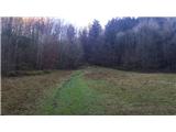 16
16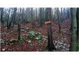 17
17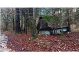 18
18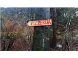 19
19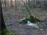 20
20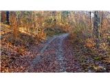 21
21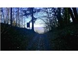 22
22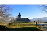 23
23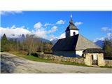 24
24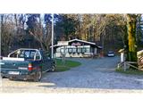 25
25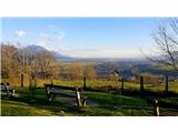 26
26
Discussion about the trail Blejska Dobrava (cemetery) - Sveta Katarina na Homu
|
| francimedved17. 06. 2020 |
Danes sem bil gor, pot je lepa, in ne strma, priporočam družinam z majhnimi otroki. Gostišče ob cerkvi je pa na žalost zaprto.
|
|
|
|
| Majdag29. 07. 2020 |
Sv. Katarina, soteska Vintgar.... Ker drugače sedaj ne gre, ko je začetek poti za sotesko Vintgar iz Podhoma. Mimo sv. Katarine je zelo luštna, lahka pot. In razgledi so vse do ceste za Vintgar.  Pot po mostičkih je čudovita, le ob večjem obisku se verjetno delajo zastoji, ker običajno vsi fotkajo iste motive.  https://jelenkamenmajdag.blogspot.com/2020/07/lepote-soteske-vintgar.html https://jelenkamenmajdag.blogspot.com/2020/07/lepote-soteske-vintgar.html
|
|
|
|
| julius30. 07. 2020 |
Na sliki št. 100% ni pogled na Ljubljansko kotlino. Malo si oglej zemljevid.
|
|
|
|
| Majdag20. 03. 2025 15:53:27 |
Včeraj smo se pohodniki DU J.K. Bela potepali čez Strmo stran proti Vintgarju. Je urejena nova potka, ki ne vodi skozi naselje. V Vintgarju imajo zanimiv pitnik za vodo in premično streho nad naravnimi stolčki. Pot čez Podhomski rob je zanimiva in vedno lepa. Pri Jurčku je bilo zaprto. Pot skozi gmajno proti mostičkom je v celoti nasuta s peskom in ni videti korenin. Spodaj cvetijo zvončki in čemaž že raste. Krasen sončni dan in bilo je lepo..  https://jelenkamenmajdag.blogspot.com/2025/03/pomlad-prihaja.html https://jelenkamenmajdag.blogspot.com/2025/03/pomlad-prihaja.html
|
|
|