Starting point: Bločice (623 m)
| Lat/Lon: | 45,764°N 14,455°E |
| |
Time of walking: 1 h 15 min
Difficulty: easy marked way
Altitude difference: 234 m
Altitude difference po putu: 295 m
Map: Snežnik 1:50.000
Recommended equipment (summer):
Recommended equipment (winter): crampons
Views: 8.920
 | 1 person likes this post |
Access to the starting point:
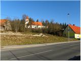
a) From the motorway Ljubljana - Koper take the exit Unec, then follow the road in the direction of Cerknica and further in the direction of Bloška Polica, but only to the settlement Bločice, where our route begins. The route to Križna gora starts immediately from the main road, but as there are no parking spaces here, it is better to park in the parking lot next to the church of St. Primož and Felicijan. To get there, turn left off the main road into the village in the middle of the village, then right twice and you'll be at the church.
b) Take the road to Velike Lašče or Sodražica and from there continue driving towards Nová vas na Blokach. From Nová vas, take the main road to Cerknica, but we only go as far as Bločice, where our route to Križna hora begins. The route to Križna gora starts immediately from the main road, but as there are no parking spaces here, it is better to park in the parking lot next to the church of Sts Primož and Felicijan. To get there, turn right off the main road into the village in the middle of the village, then right twice more and you'll be at the church.
Path description:
From the parking lot, walk to the church and the nearby cemetery, and from there walk down to the main road, which you can then cross carefully. On the other side of the main road, you will see a side road that starts to descend between some houses (the start of the path at Križna gora is not marked, but is opposite the house with the yellow facade).
At the nearby house, the road splits into two parts and we continue along the lower right-hand road, which soon loses its asphalt surface and descends to the Bločiška polje (Bločiška field). We continue along the worse road, which leads us further along the left edge of the vast bay. A little further on, initially still sparse markings lead us slightly to the left to cart track, which continues parallel to the road for a short time, then turns into a dense forest, through which it begins to climb moderately. Higher up, the fainter cart track lays down and leads us past a couple of crossroads, where we follow the markings carefully. The way forward continues through the forest for some time, then descends to a macadam road, which is followed to the left (Žerovnica on the right). Follow the road quickly to a marked crossroads, where you continue to the right in the direction of Svete Anna (left Križna jama 1 km), but from the crossroads on along the road walk only a few steps, as the markings then lead you left into the forest on a marked path.
At first, we follow the well-traced cart track, which soon turns to the right and becomes completely flat. Here, the markings lead us slightly left onto a marked but rather poorly trodden path which begins to climb steeply through the forest. Further on, the markings are quite frequent, so that, despite the less well-trodden path, there are no major problems with orientation. Higher up, we walk along a slightly wider path, but the markings quickly lead us to a steep path that climbs towards Križna gora. After a few minutes, the steepness gives way and we are joined on the left by the marked path from Križna jame (the path from Križna jame is marked at most crossroads, but is not marked).
Here we continue straight or slightly right along the path, which leads us in 3 minutes of moderate ascent to the top of Križna gora, where the Church of the Holy Cross stands.

Pictures:
 1
1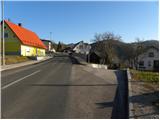 2
2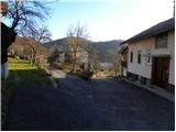 3
3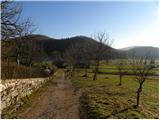 4
4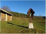 5
5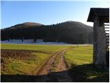 6
6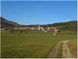 7
7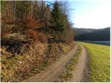 8
8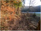 9
9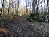 10
10 11
11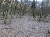 12
12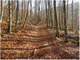 13
13 14
14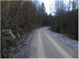 15
15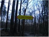 16
16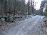 17
17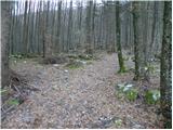 18
18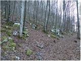 19
19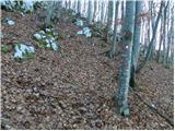 20
20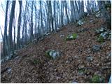 21
21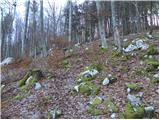 22
22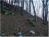 23
23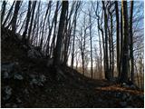 24
24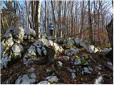 25
25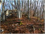 26
26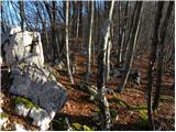 27
27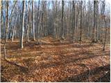 28
28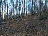 29
29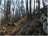 30
30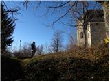 31
31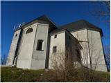 32
32 33
33 34
34 35
35
Discussion about the trail Bločice - Križna gora
|
| pinkimojca17. 07. 2025 18:38:37 |
Pot izgleda danes veliko bolj zaraščena v delu kjer se vzpenja. Vzpon je tudi veliko bolj strm, kot sem pričakovala.  Veliko več podrasti in če ne bi bilo markacij, bi resno dvomila, da sem na pravi poti. Markacije lepe, nove in jih je veliko.
|
|
|