Bodenbauer - Klagenfurter Hutte/Celovška koča (via Karweg)
Starting point: Bodenbauer (1052 m)
| Lat/Lon: | 46,4678°N 14,2152°E |
| |
Name of path: via Karweg
Time of walking: 2 h
Difficulty: easy unmarked way
Altitude difference: 612 m
Altitude difference po putu: 675 m
Map: Karavanke - osrednji del 1:50.000
Recommended equipment (summer):
Recommended equipment (winter): ice axe, crampons
Views: 4.604
 | 1 person likes this post |
Access to the starting point:
From the motorway Ljubljana - Jesenice take the exit Ljubelj (Tržič) and then continue in the direction of Klagenfurt / Klagenfurt. After the Ljubelj tunnel, the road starts to descend and we follow it to a junction where the road to the Poden valley / Bodental branches off to the left. Take the road mentioned above, which then leads you through Slovenji Plajberk / Windisch Bleiberg and higher up to Žabnica / Bodental. Follow the road to the end of the tarmac by the Podnart / Bodenbauer guesthouse, where you can park at a suitable roadside parking place.
Path description:
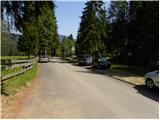
From Podnart near which you park on the widened road, take the macadam forest road closed to public traffic in the direction of Mlake / Märchenwiese and Klagenfurter Hutte / Klagenfurter Hütte. The road, which begins to climb gently, soon leads us to the first crossroads, where a path branches off to the right towards the farm Vgriz / Ogrisbauer, and we continue straight on in the direction of Klagenfurter Hutte. The road goes a little further into the forest and splits into two parts. Take the marked road to the left, and after about 30 minutes' walk from the starting point, it leads to Mlaka (a flat, spacious and scenic meadow).
Here the road turns slightly to the right, and we continue straight ahead on a parallel, but slightly less visible, marked path that continues across the meadow. On the other side of the meadow, the path returns to the woods and gradually begins to climb moderately. After a short climb, we reach a small crossroads where a touring-skiing path branches off to the left, and we continue straight ahead along a small torrential gully. A few 10 steps higher, we leave the ravine, as the markings direct us to the right (straight along the ravine at first, but higher up, through vast scree fields, a fainter, partly pathless path leads towards the Belščica saddle) onto a path that joins the forest road only a few metres higher. Once on the road, follow it to the left, and we follow it only as far as the first right-hand bend. At the end of the bend, we leave the marked trail that initially follows the road and take a sharp left onto an unmarked but well-traced path. After a few metres, the track turns slightly to the right and first starts to climb cross-country through the forest. Higher up, the track starts to climb steeply through the forest, which thins out after a while. A little further on, the forest is gradually replaced by lane of dwarf pines and bushes, and the increasingly scenic path, which offers beautiful views of the Palec walls, Pautz, Vertatscha and the nearby Bielschitza, leads us to a place where we return to the marked path (the marked path is a little longer and technically more difficult, but it is well marked). When you reach the marked path, you first climb up it to a small spring, and from there to the nearby crossroads on the Vrata / Matschatcher Sattel pass. At the above-mentioned pass, a less well-trodden unmarked path branches off to the left, leading "directly" to the Belščica saddle, while we continue straight ahead and start descending towards the Celovška hut. At the part of the trail where the trail widens to cart track, a marked trail branches off to the right to Ovčji vrh (Kozjak) / Geissberg, and we continue on the trail, which descends slightly. A little further on, cart track splits into two parts, and we take the right-hand one, which will take us in a few minutes to Klagenfurter Hutte, from which we will have a nice view towards Stol and Vajnež.

Pictures:
 1
1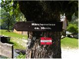 2
2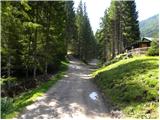 3
3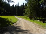 4
4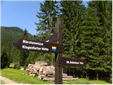 5
5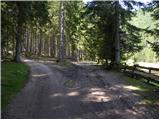 6
6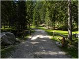 7
7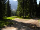 8
8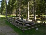 9
9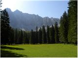 10
10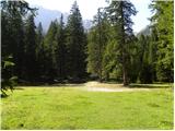 11
11 12
12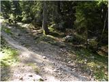 13
13 14
14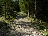 15
15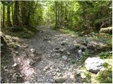 16
16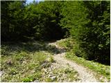 17
17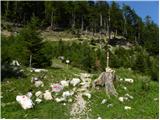 18
18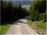 19
19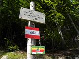 20
20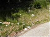 21
21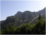 22
22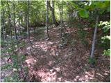 23
23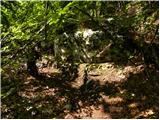 24
24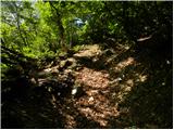 25
25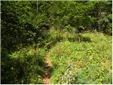 26
26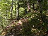 27
27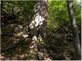 28
28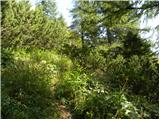 29
29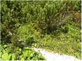 30
30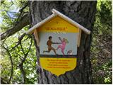 31
31 32
32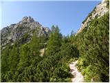 33
33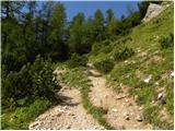 34
34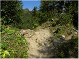 35
35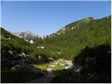 36
36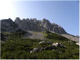 37
37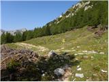 38
38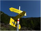 39
39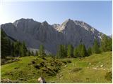 40
40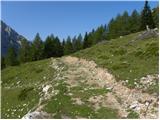 41
41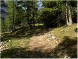 42
42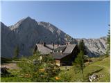 43
43
Discussion about the trail Bodenbauer - Klagenfurter Hutte/Celovška koča (via Karweg)
|
| JORDAN22. 09. 2013 |
Danes smo se vračali s Celovške koče po opisani poti.Kot prvo moram omeniti da je pot zelo strma in jo v mokrem odsvetujem za sestop,ker poteka skozi listnat gozd in je na poti veliko listja.Pot v mokrem postane zelo zahtevna.Vse kateri pa se nameravate povzpeti po tej poti pa opozarjam,da je pot zelo strma in je po novi ureditvi obcestnih brežin vstop na neoznačeno stezo po novem 10m pred smerokazom na sliki št.20 kjer zapustimo cesto in se levo usmerimo v gozd.
|
|
|