Bodenbauer - Ovčji vrh (Kozjak) / Geissberg (Kosiak) (via Klagenfurter Hütte)
Starting point: Bodenbauer (1052 m)
| Lat/Lon: | 46,4678°N 14,2152°E |
| |
Name of path: via Klagenfurter Hütte
Time of walking: 3 h 15 min
Difficulty: difficult marked way
Altitude difference: 972 m
Altitude difference po putu: 1100 m
Map: Karavanke - osrednji del 1:50.000
Recommended equipment (summer): helmet
Recommended equipment (winter): helmet, ice axe, crampons
Views: 9.223
 | 1 person likes this post |
Access to the starting point:
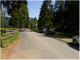
We drive to the Ljubelj border crossing and on to the Austrian side. Shortly after, when you see a small church on the left side of the road, the road to the village of Žabnica / Bodental branches off to the left. At the crossroads after Slovenji Plajberk / Windisch Bleiberg turn left towards Žabnica / Bodental. In Žabnica / Bodental you will reach the mountain signs for Celovška koča / Klagenfurter Hütte to the left and right. Turn left and follow the road to the end of the asphalt, where you will park in the parking lot near the pasture fences.
Path description:
From the parking lot, take the forest road closed to traffic and marked "Marchenwiese". The forest road leads you through the forest on a slight incline to a pleasant meadow, where you will have a nice view of the northern walls of Vertatscha and Palec. Continue across the meadow where the path is more difficult to follow and on the other side look for cart track which goes slightly upwards into the forest. After walking for a few minutes along cart track, the signs direct us to the right onto a footpath which soon crosses a torrent along which it then climbs. The path then follows the torrent slightly to the right and leads us to a small clearing where the waymarked path directs us slightly further to the right. The path continues to climb steeply and after a good 30 minutes' walk leads us to a crossroads where we continue to the left (right Ogrisalm 5 minutes).
The steepness eases here and the path passes out of the forest between dwarf pines. Cross a scree slope and then descend gently downhill with the help of a rope ladder. From here on the path is exposed to falling rocks. Further on, the well-protected path starts to climb up a steep rocky slope. At the top of this easier climbing section, you will come to a sign-in box where you can sign in. The difficulty of the route disappears after this and in a cross-climb you reach the Vrata saddle. The way forward starts to descend and in a few minutes leads us to a crossroads where we continue straight on (right Ovčji vrh) and in a few minutes of gentle descent we reach the Celovška hut.
From the hut continue slightly right to the meadows which you cross in a slight ascent. After a few minutes' walk from the hut, the path leads into a small, undistinguished valley where the path begins to climb. This valley is soon left as the path turns sharp right into the slopes of Ovčji vrh / Geissberg. After an hour's walk from the hut, the trail, which is quite steep, leads us up the slopes to the top of the mountain. In the last part of the trail the steepness subsides and we see a cross in front of us which we reach without any problems.
Starting point - Klagenfurter Hutte 2:15, Klagenfurter Hutte - Ovčji vrh 1:00.

Pictures:
 1
1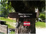 2
2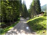 3
3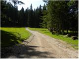 4
4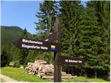 5
5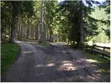 6
6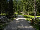 7
7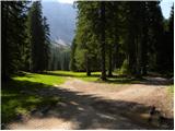 8
8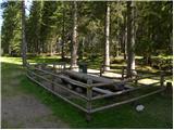 9
9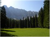 10
10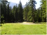 11
11 12
12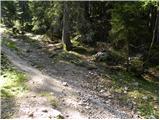 13
13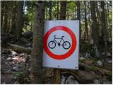 14
14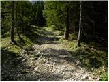 15
15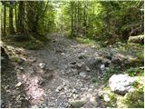 16
16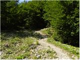 17
17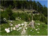 18
18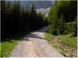 19
19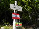 20
20 21
21 22
22 23
23 24
24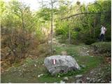 25
25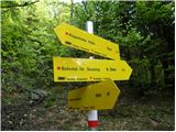 26
26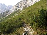 27
27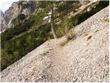 28
28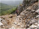 29
29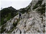 30
30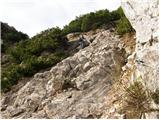 31
31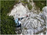 32
32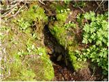 33
33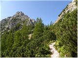 34
34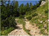 35
35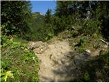 36
36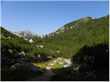 37
37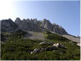 38
38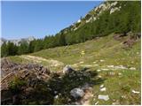 39
39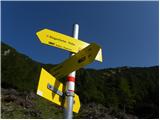 40
40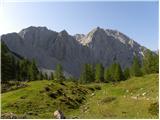 41
41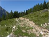 42
42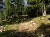 43
43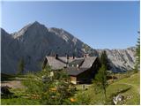 44
44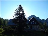 45
45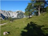 46
46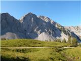 47
47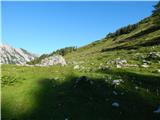 48
48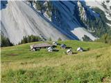 49
49 50
50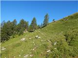 51
51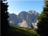 52
52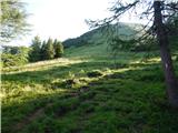 53
53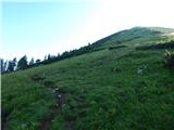 54
54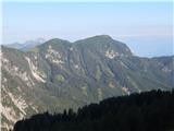 55
55 56
56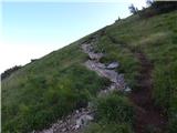 57
57 58
58 59
59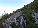 60
60 61
61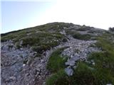 62
62 63
63 64
64 65
65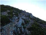 66
66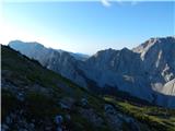 67
67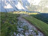 68
68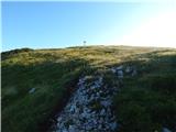 69
69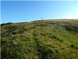 70
70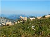 71
71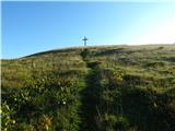 72
72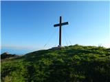 73
73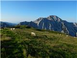 74
74 75
75
Discussion about the trail Bodenbauer - Ovčji vrh (Kozjak) / Geissberg (Kosiak) (via Klagenfurter Hütte)
|
| plaNinaPirsMajcen1. 11. 2024 12:23:54 |
Včeraj smo se povzpeli iz Podnarja na Ovčji vrh. Poudarila bi, da je pot za povprečne planince nekoliko daljša kot je zgoraj navedeno. Na izhodišču lepo piše na tabli, da pot do Celovške koče po lažji plezalni poti traja 3 ure in ne 2.15, kot je zgoraj navedeno. Drži pa, da za vzpon od koče do vrha porabite 1 uro. Celotna pot torej traja cca 4 ure normalne hoje.
Pot je v spodnjem delu malenkost nad blatnim travnikom tudi nekoliko slabše označena, predvsem predel, preden se pride do manjšega razritega hudournika, ob katerem se povzpnemo navzgor do gozdne ceste. Ob povratku tam nismo našli markacij, nočilo se je, zato smo se raje vrnili na cesto in po cesti nadaljevali spust do mokrega travnika, kjer je pot boljše označena.
Zavarovan predel z jeklenicami je v dobrem stanju.
Na Celovški koči pa je potrebno naročiti v nemškem ali hrvaškem jeziku.
Srečno vsem!
|
|
|