Bodeški most - Šobčev bajer
Starting point: Bodeški most (424 m)
| Lat/Lon: | 46,3426°N 14,1417°E |
| |
Time of walking: 25 min
Difficulty: easy marked way
Altitude difference: 2 m
Altitude difference po putu: 35 m
Map: Karavanke - osrednji del 1:50.000
Recommended equipment (summer):
Recommended equipment (winter):
Views: 3.317
 | 1 person likes this post |
Access to the starting point:
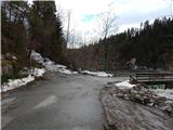
From the motorway Ljubljana - Jesenice, take the exit Lesce and then continue to Bled. At Bled, turn left onto Koritenska cesta and continue towards Koritno and later Bodešče. When you reach Bodešče, take the second street on the left and then gradually start descending through the village towards the Bodes Bridge. Park at the Bodega Bridge, on either side of the river, depending on where you find a more suitable spot.
Path description:
From the Bodeški Bridge over the Sava Bohinjka River, continue in the direction of Šobec and continue along the left bank of the river on a worse, partly dirt road. Cart track first climbs crosswise through the forest, then lays down and leads to a pleasant viewpoint with a bench, where it starts to descend. A short descent is followed and we arrive at open meadows with a beautiful view over part of Kamnik Savinja Alps and Karawanks. Continue along the dirt track which continues across the meadows, crossing a small stream in between, and then continue along the beautiful views of Karawanks to reach a crossroads at the bridge over the Sava Dolinka River.
From the crossroads, continue across the bridge, and on the other side of the bridge you will enter the Šobec bivouac. At the small crossroads just after the bridge, turn right and walk a few minutes to Šobčev Lake.
Pictures:
 1
1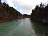 2
2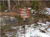 3
3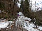 4
4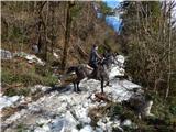 5
5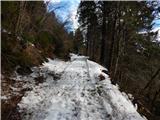 6
6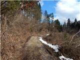 7
7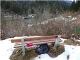 8
8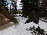 9
9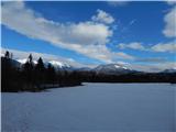 10
10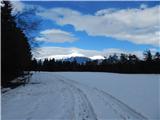 11
11 12
12 13
13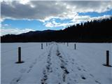 14
14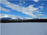 15
15 16
16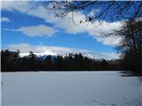 17
17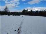 18
18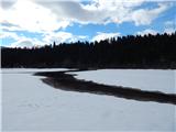 19
19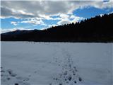 20
20 21
21 22
22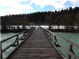 23
23 24
24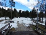 25
25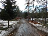 26
26 27
27 28
28 29
29
Discussion about the trail Bodeški most - Šobčev bajer