Bogojina - Bukovniško jezero (by road)
Starting point: Bogojina (185 m)
| Lat/Lon: | 46,678°N 16,2755°E |
| |
Name of path: by road
Time of walking: 1 h 45 min
Difficulty: easy unmarked way
Altitude difference: 4 m
Altitude difference po putu: 150 m
Map:
Recommended equipment (summer):
Recommended equipment (winter):
Views: 3.194
 | 1 person likes this post |
Access to the starting point:
From the Pomurje motorway, take the exit Gančani and follow the road towards Moravske Toplice. After a few km of further driving, the road leads to a slightly larger crossroads in Bogojina. Here you continue straight on (left Moravske Toplice, right Lendava) and a slightly narrower road quickly leads you to the centre of the village. Continue driving through the village, following the signs for Plečnik's church. Just before the church, you will come to a small triangular crossroads, where you turn left towards the cemetery (straight ahead Plečnik Church). After a short drive, you will come to the cemetery, in front of which you will park in a nicely landscaped parking lot.
Path description:
From the parking lot, return to the triangular crossroads, and from there continue along the road in the direction of Bukovniško jezero. The road first leads past the famous Plečnik Church in Bogojina, then turns slightly to the right and passes a few more 10 houses to reach the crossroads, where you continue straight ahead. A few 100 m further on, you reach the next crossroads, where you continue to the left to a crossroads a few 10 m away, by the information board of the Goričko Landscape Park. Here we continue straight on, then past pastures we arrive at the next crossroads, where we join the marked path from Vršič on the left and the marked path (initially and for the most part a road) to Bukovniško jezero branches off to the right, the latter continues with a few ups and downs through the hills of the surrounding villages and is slightly longer than the road.
At this junction, continue straight on the main asphalt road, which begins to climb more moderately. Higher up, you reach the hunting lodge of the Bogojina hunting association, after which the road starts to descend. Lower down, the forest ends and the path leads to the village of Bukovnica, where you pass a small church and reach a crossroads, where you continue right in the direction of Bukovniško jezero (Ousišče on the left). Continue through the village, then at the next crossroads turn right again in the direction of Bukovnik Lake. Continue along the narrow asphalt road, which leads past a few houses, then turns into a macadam road, which begins to descend slightly. The road then turns left and leads us across a meadow to a crossroads, by the NOB monument, where we continue to the right. The road soon returns to the forest and leads to an information board near Bukovnik Lake.
Here, turn right (you can also go straight ahead) and continue along the nature trail around the lake. It takes just over 20 minutes to complete the full circuit around the lake.

Pictures:
 1
1 2
2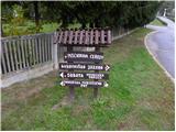 3
3 4
4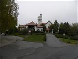 5
5 6
6 7
7 8
8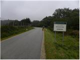 9
9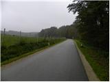 10
10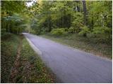 11
11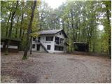 12
12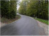 13
13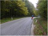 14
14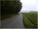 15
15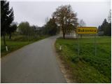 16
16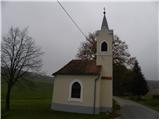 17
17 18
18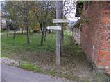 19
19 20
20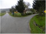 21
21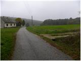 22
22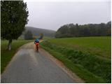 23
23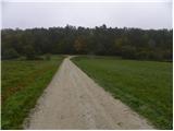 24
24 25
25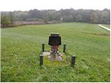 26
26 27
27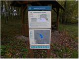 28
28 29
29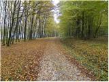 30
30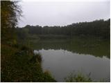 31
31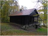 32
32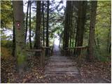 33
33 34
34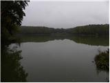 35
35
Discussion about the trail Bogojina - Bukovniško jezero (by road)